Altstadt in Koblenz, Rhineland-Palatinate, Germany — Central Europe
Dominikaner Klosters
⎯⎯⎯
Dominican Monastery
Photographed by James Hulse, October 3, 2026
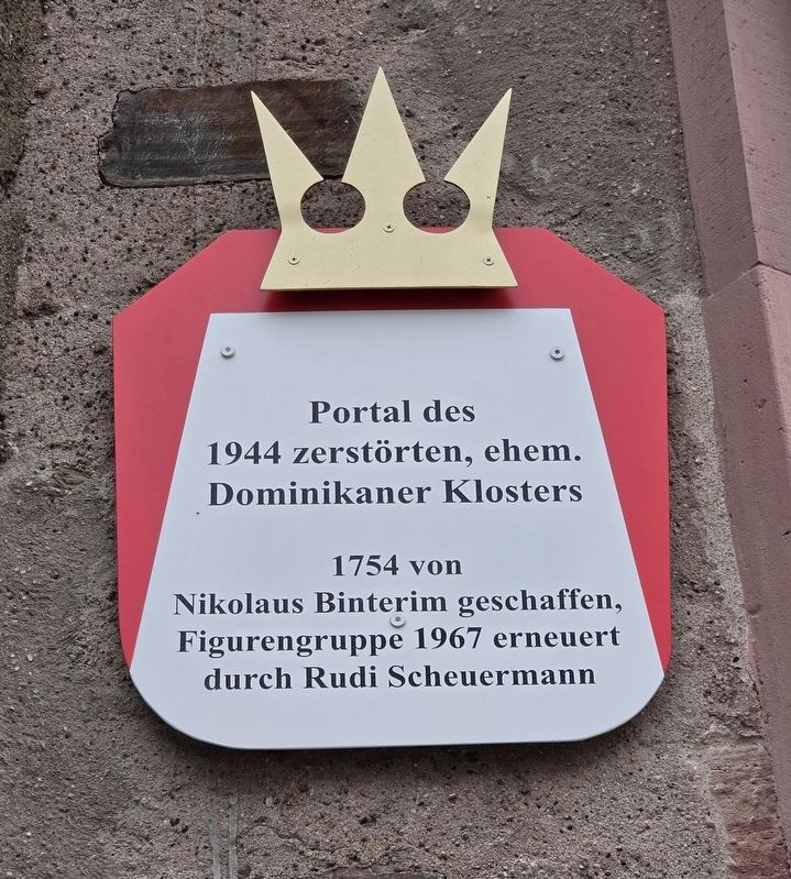
1. Dominikaner Klosters / Dominican Monastery Marker

Portal des
1944 zerstörten, ehem.
Dominikaner Klosters
1754 von
Nikolaus Binterim geschaffen,
Figurengruppe 1967 erneuert
durch Rudi Scheuermann
Dominican Monastery
The portal of the former Dominican monastery, destroyed in 1944, was created by Nikolaus Binterim in 1754. The sculpture group was renewed by Rudi Scheuermann in 1967.
Topics. This historical marker is listed in this topic list: Notable Buildings. A significant historical year for this entry is 1944.
Location. 50° 21.694′ N, 7° 35.512′ E. Marker is in Koblenz, Rheinland-Pfalz (Rhineland-Palatinate). It is in Altstadt. It is on Weißer Gasse 0.1 kilometers west of An d. Moselbrücke, on the right when traveling west. Touch for map. Marker is at or near this postal address: Weißer G 11, Koblenz RP 56068, Germany. Touch for directions.

Regionally, this marker is in the German Rhineland, in the Upper Middle Rhine Valley, and specifically in the Moselle Valley. Globally, it is in Europe, the European Union, Atlantic Europe, Central Europe, the Schengen Area, Western Europe, and the Western
this page online
Other nearby markers. At least 8 other markers are within walking distance of this marker: Ernst Albert Wolff (a few steps from this marker); Walter Hübinger (within shouting distance of this marker); Weisser Gasse (within shouting distance of this marker); Alte Burg / Old Castle (about 180 meters away, measured in a direct line); Vier Türme / Four Towers (about 210 meters away); Site of Guardhouse (about 210 meters away); Koblenz (about 210 meters away); Paula Ramler (approx. 0.3 kilometers away). Touch for a list and map of all markers in Koblenz.
Photographed by James Hulse, October 3, 2026
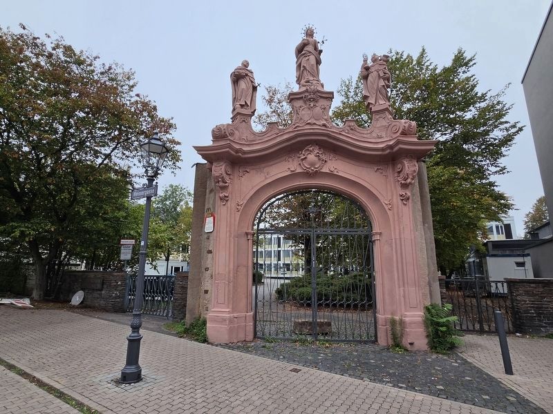
2. Dominikaner Klosters / Dominican Monastery Marker
The ruins of the portal with the marker on the left side.
Photographed by James Hulse, October 3, 2026
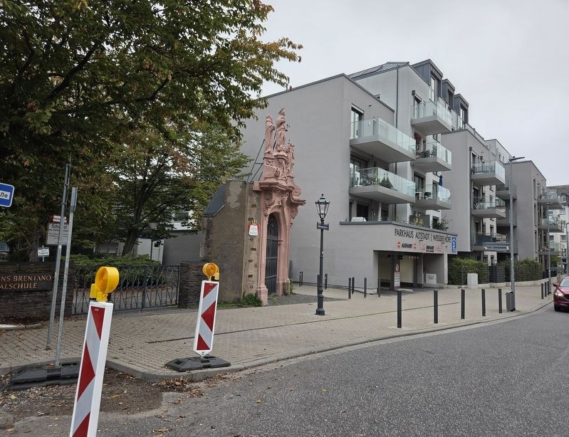
3. Dominikaner Klosters / Dominican Monastery Marker
The view of the marker and portal along the street.
Credits. This page was last revised on October 13, 2026. It was originally submitted on October 13, 2026, by James Hulse of Medina, Texas. This page has been viewed 4 times since then. Photos: 1, 2, 3. submitted on October 13, 2026, by James Hulse of Medina, Texas.
