Altstadt in Koblenz, Rhineland-Palatinate, Germany — Central Europe
“Pfarrhaus Liebfrauen”
⎯⎯⎯
Church of Our Lady Rectory
Photographed by James Hulse, October 3, 2026
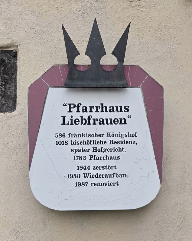
1. Pfarrhaus Liebfrauen / Church of Our Lady Rectory Marker

586 fränkischer Königshof
1018 bischöfliche Residenz,
später Hofgericht;
1783 Pfarrhaus
1944 zerstört
1950 Wiederaufbau
1987 renoviert
Church of Our Lady Rectory
The site was a Frankish royal court in 586 and an Episcopal residence in 1018, later serving as a court of justice. It became a rectory in 1783. Destroyed in 1944, it was rebuilt in 1950 and renovated in 1987.
Topics. This historical marker is listed in this topic list: Religion & Religious Structures.
Location. 50° 21.704′ N, 7° 35.834′ E. Marker is in Koblenz, Rheinland-Pfalz (Rhineland-Palatinate). It is in Altstadt. It is at the intersection of Florinsmarkt and Kornpfortstraße, on the right when traveling east on Florinsmarkt. Touch for map. Marker is at or near this postal address: Florinsmarkt 18, Koblenz RP 56068, Germany. Touch for directions.

Regionally, this marker is in the German Rhineland, in the Upper Middle Rhine Valley, and specifically in the Moselle Valley. Globally, it is in Europe, the European Union, Atlantic Europe,
this page online
Other nearby markers. At least 8 other markers are within walking distance of this marker: Geburtshaus / Birthplace (within shouting distance of this marker); Schöffenhaus / Aldermen’s House (within shouting distance of this marker); Zum Gedenken (within shouting distance of this marker); Bürresheimer Hof (within shouting distance of this marker); Altes Kauf- und Danzhaus / Old Trading and Dance Hall (within shouting distance of this marker); Weinstube Zum Hubertus / Zum Hubertus Wine Tavern (about 90 meters away, measured in a direct line); Gemüsegasse (about 90 meters away); Altes Brauhaus / Old Beer Hall (about 120 meters away). Touch for a list and map of all markers in Koblenz.
Photographed by James Hulse, October 3, 2026
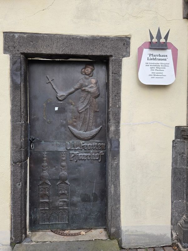
2. “Pfarrhaus Liebfrauen” / Church of Our Lady Rectory Marker
Photographed by James Hulse, October 3, 2026
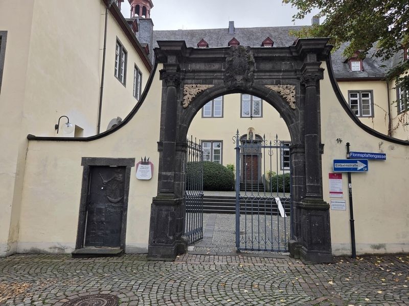
3. “Pfarrhaus Liebfrauen” / Church of Our Lady Rectory Marker
Photographed by James Hulse, October 3, 2026
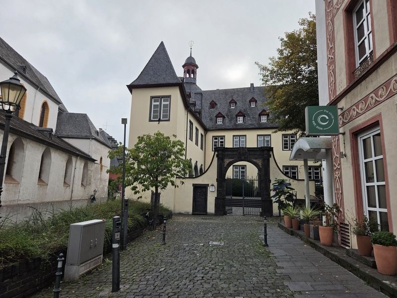
4. “Pfarrhaus Liebfrauen” / Church of Our Lady Rectory Marker
Credits. This page was last revised on October 13, 2026. It was originally submitted on October 13, 2026, by James Hulse of Medina, Texas. This page has been viewed 6 times since then. Photos: 1, 2, 3, 4. submitted on October 13, 2026, by James Hulse of Medina, Texas.
