Monroe Township in Feed Springs in Harrison County, Ohio — The American Midwest (Great Lakes)
John Q. Law Farm, Reed Farm, Huss Farm
⎯⎯⎯
Henry Law Farm Historic District
Photographed by Craig Doda, October 3, 2026
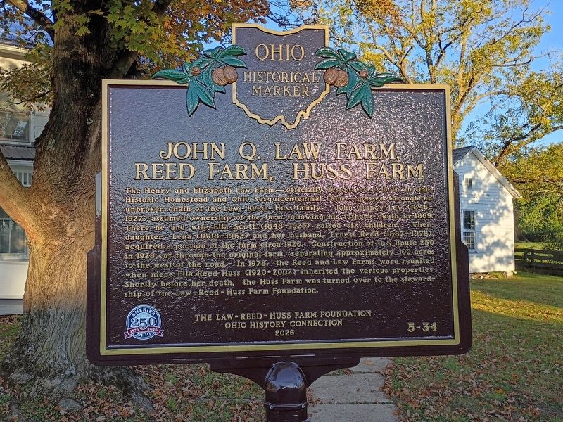
1. John Q. Law Farm, Reed Farm, Huss Farm side of marker
John Q. Law Farm, Reed Farm, Huss Farm
The Henry and Elizabeth Law Farm—officially designated as both an Ohio Historic Homestead and Ohio Sesquicentennial Farm—passed through an unbroken chain of the Law-Reed-Huss family. John Quincy Law (1846- 1927) assumed ownership of the farm following his father's death in 1869. There he and wife Ella Scott (1848-1925) raised six children. Their daughter, Lena (1888-1963) and her husband, Ernest Reed (1887-1978), acquired a portion of the farm circa 1920. Construction of U.S. Route 250 in 1928 cut through the original farm, separating approximately 100 acres to the west of the road. In 1978, the Reed and Law Farms were reunited when niece Ella Reed Huss (1920-2002) inherited the various properties. Shortly before her death, the Huss Farm was turned over to the steward- ship of the Law-Reed-Huss Farm Foundation.
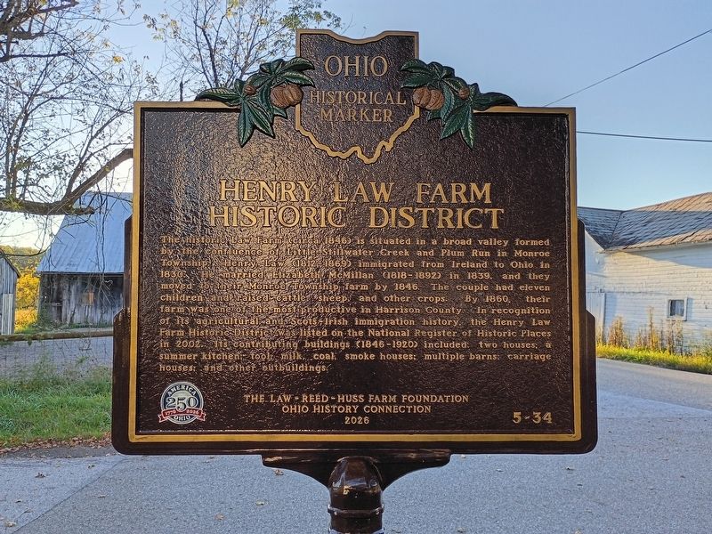
Henry Law Farm Historic District
The historic Law Farm (circa 1846) is situated in a broad valley formed by the confluence of Little Stillwater Creek and Plum Run in Monroe Township. Henry Law (1812-1869) immigrated from Ireland to Ohio in 1830. He married Elizabeth McMillan
this page online
Erected 2026 by The Law-Reed-Huss Farm Foundation; Ohio History Connection; America 250: Ohio Commission. (Marker Number 5-34.)
Topics and series. This historical marker is listed in these topic lists: Architecture • Industry & Commerce. In addition, it is included in the America 250: Ohio Commission, and the Ohio Historical Society / The Ohio History Connection series lists. A significant historical year for this entry is 1869.
Location. 40° 22.308′ N, 81° 14.306′ W. Marker is in Feed Springs, Ohio, in Harrison County. It is in Monroe Township. It is at the intersection of
Photographed by Craig Doda, October 3, 2026
2. Henry Law Farm Historic District side of marker

Regionally, this marker is in the American Midwest, in Appalachia, and specifically in Northern Appalachia. Globally, it is in North America, the Western Hemisphere, the Western World, and the Anglosphere. Historically, it finds itself in what was once the Haudenosaunee (Iroquois) Confederacy, the territory of the Mississippian Culture, and the Northwest Territory.
Other nearby markers. At least 8 other markers are within 6 miles of this marker, measured as the crow flies: Tappan Dam (approx. 1.2 miles away); The Seven Ranges (approx. 1½ miles away); Tappan (approx. 2 miles away); a different marker also named Tappan (approx. 3.1 miles away); Mary L. Jobe Akeley / Harry F. Hazlett (approx. 5.1 miles away); Moravian House (approx. 5.1 miles away); Hazel's House (approx. 5.1 miles away); Dennison Yard and Shops / Dennison Depot (approx. 5.2 miles away).
Photographed by Craig Doda, October 3, 2026
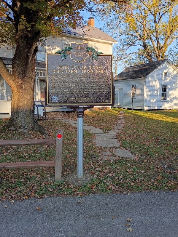
3. John Q. Law Farm, Reed Farm, Huss Farm / Henry Law Farm Historic District Marker
Photographed by Craig Doda, October 3, 2026
4. John Q. Law Farm, Reed Farm, Huss Farm / Henry Law Farm Historic District Marker
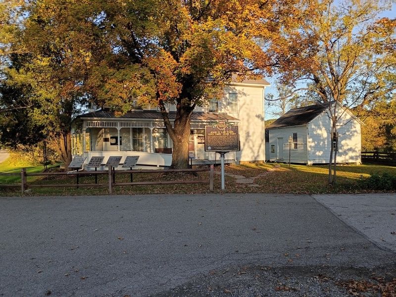
Photographed by Craig Doda, October 3, 2026
5. John Q. Law Farm, Reed Farm, Huss Farm / Henry Law Farm Historic District Marker
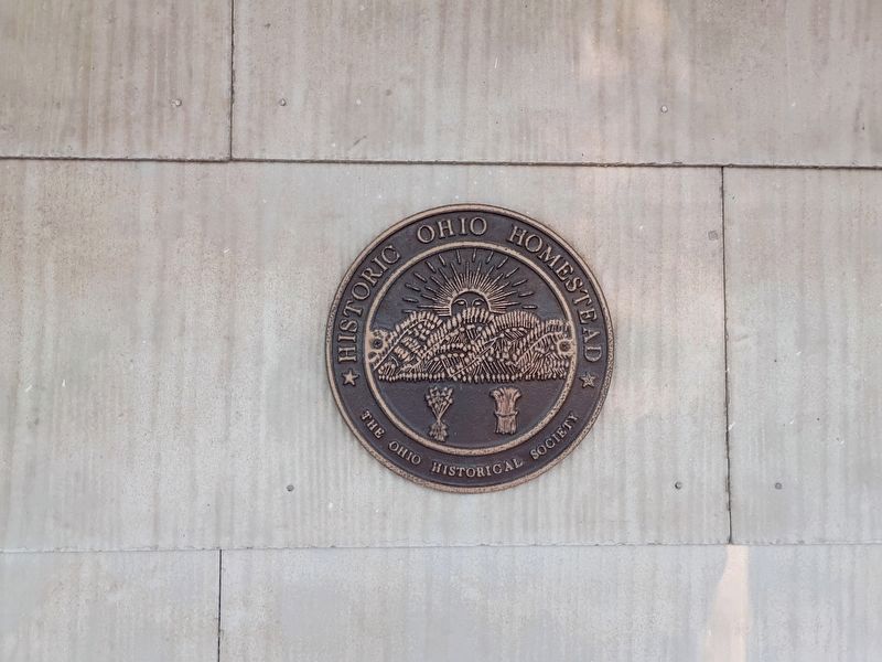
Photographed by Craig Doda, October 3, 2026
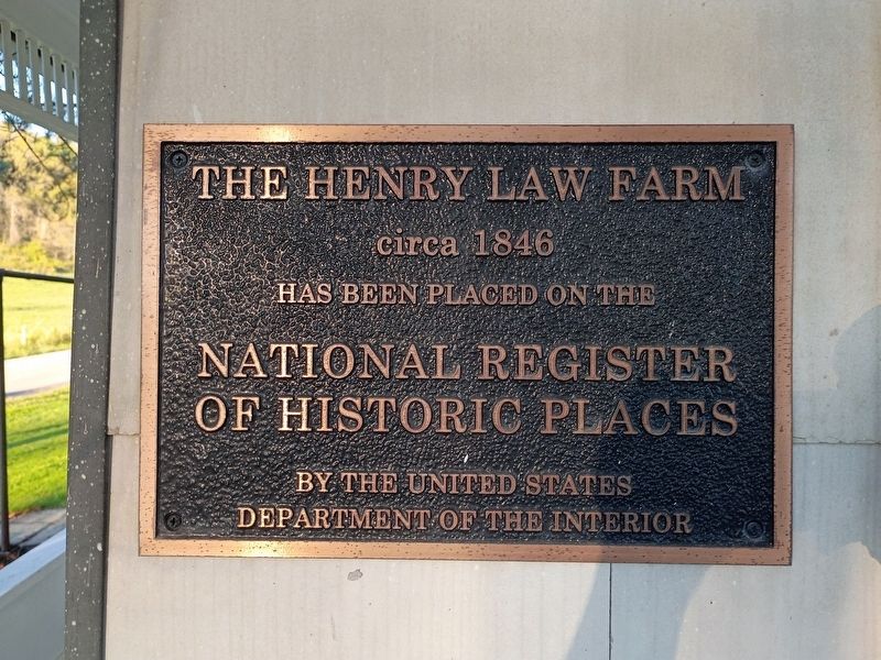
6. Historic Ohio Homestead plaque
Credits. This page was last revised on October 13, 2026. It was originally submitted on October 13, 2026, by Craig Doda of Napoleon, Ohio. This page has been viewed 10 times since then. Photos: 1, 2, 3, 4, 5, 6. submitted on October 13, 2026, by Craig Doda of Napoleon, Ohio. • Andrew Ruppenstein was the editor who published this page.
