Altstadt in Koblenz, Rhineland-Palatinate, Germany — Central Europe
Altes Regierungsgebäude
⎯⎯⎯
Old Government Building
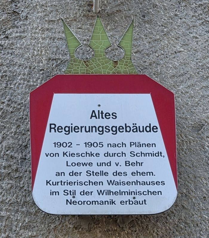
Photographed by James Hulse, October 3, 2026
1. Altes Regierungsgebäude / Old Government Building Marker

Regierungsgebäude
1902 - 1905 nach Plänen
von Kieschke durch Schmidt,
Loewe und v. Behr
an der Stelle des ehem.
Kurtrierischen Waisenhauses
im Stil der Wilhelminischen
Neoromanik erbaut
Old Government Building
Built between 1902 and 1905 by Schmidt, Loewe and v. Behr to plans by Kieschke, on the site of the former Electoral Trier orphanage, in the neo-Romanesque style of the Wilhelmine era.
Topics. This historical marker is listed in this topic list: Notable Buildings. A significant historical year for this entry is 1902.
Location. 50° 21.496′ N, 7° 36.241′ E. Marker is in Koblenz, Rheinland-Pfalz (Rhineland-Palatinate). It is in Altstadt. It is on Konrad-Adenauer-Ufer 0.1 kilometers north of Stresemannstraße, on the left when traveling north. Touch for map. Marker is at or near this postal address: Konrad-Adenauer-Ufer 12, Koblenz RP 56068, Germany. Touch for directions.

Regionally, this marker is in the German Rhineland, in the Upper Middle Rhine Valley, and specifically in the Moselle Valley. Globally, it is in Europe, the European Union, Atlantic Europe, Central Europe, the Schengen Area, Western Europe, and the Western World. Historically, it finds itself in what was once the Roman Empire, the Holy Roman Empire, and the former West Germany.
Other nearby markers. At least 8 other markers are within walking distance of this marker: Schiffbrücke Koblenz-Ehrenbreitstein / Koblenz-Ehrenbreitstein Pontoon Bridge (within shouting distance of this marker); Oberlandesgericht Koblenz — Dienstgebäude II / Higher Regional Court of Koblenz (about 120
this page online
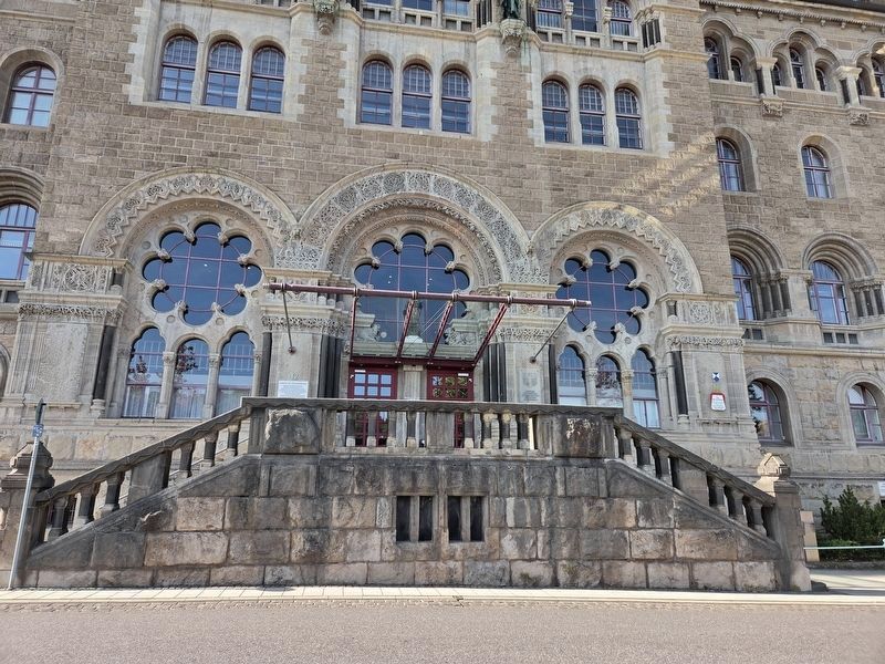
Photographed by James Hulse, October 3, 2026
2. Altes Regierungsgebäude / Old Government Building Marker
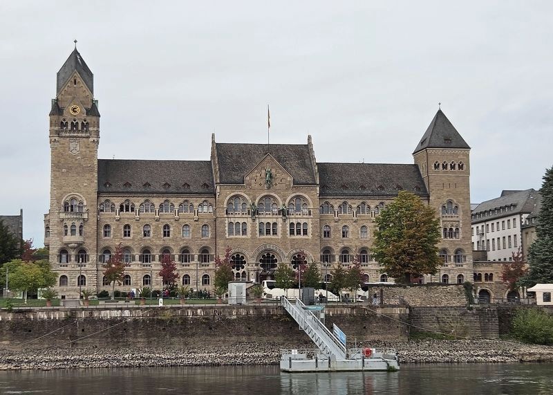
Photographed by James Hulse, October 4, 2026
3. Altes Regierungsgebäude / Old Government Building Marker
The view of the building from a river cruise ship on the Rhine River.
Credits. This page was last revised on October 14, 2026. It was originally submitted on October 13, 2026, by James Hulse of Medina, Texas. This page has been viewed 8 times since then. Photos: 1, 2, 3. submitted on October 14, 2026, by James Hulse of Medina, Texas.
