Clifford in Minto in Wellington County, Ontario — Central Canada (North America)
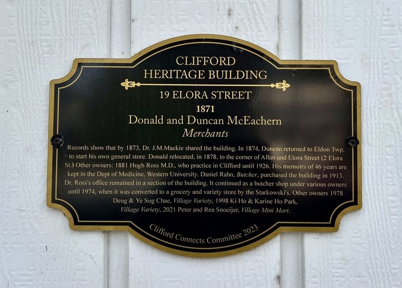
Clifford Heritage Building 19 Elora Street
1871
| — | Donald & Duncan McEachern Merchants | — |
Photographed by Tim Boyd, September 25, 2026
1. Clifford Heritage Building 19 Elora Street Marker
Erected 2023 by Cliffords Connects Committee.
Topics. This historical marker is listed in this topic list: Industry & Commerce. A significant historical year for this entry is 1871.
Location. 43° 58.173′ N, 80° 58.763′ W. Marker is in Minto, Ontario, in Wellington County. It is in Clifford. It is on Elora Street North 0.1 kilometers south of Geddes Street West, on
this page online

Regionally, this marker is in the Huron-Perth-Waterloo-Wellington Area and in Southwestern Ontario. It is also in Central Canada. Globally, it is in North America, the Western Hemisphere, the Western World, and the Anglosphere. Historically, it finds itself in what was once a British colony, the Viceroyalty of New France, the Haudenosaunee (Iroquois) Confederacy, and Rupert’s Land.
Other nearby markers. At least 8 other markers are within walking distance of this marker: Clifford Heritage Building 26 Elora Street (a few steps from this marker); Clifford Heritage Building 15 Elora Street (a few steps from this marker); Clifford Heritage Building 30 Elora Street (within shouting distance of this marker); 2 Elora Street (within shouting distance of this marker); Clifford Cenotaph (about 90 meters away, measured in a direct line); Mansion House (about 90 meters away); The Founding of Clifford (about 90 meters away); Clifford Schoolhouse Bell (about 150 meters away).
Photographed by Tim Boyd, September 25, 2026
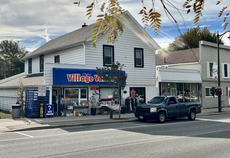
2. Clifford Heritage Building 19 Elora Street Marker
centre of photo
Credits. This page was last revised on October 13, 2026. It was originally submitted on October 13, 2026, by Tim Boyd of Hamilton, Ontario. This page has been viewed 6 times since then. Photos: 1, 2. submitted on October 13, 2026, by Tim Boyd of Hamilton, Ontario. • Andrew Ruppenstein was the editor who published this page.
