Humphrey Park in Linton in Greene County, Indiana — The American Midwest (Great Lakes)
1930 center of population
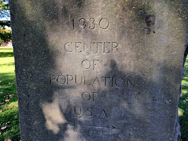
Photographed by Shirley A Stirling, October 13, 2026
1. 1930 center of population Marker
Center of population of U.S.A.
1735 feet
Erected 1930.
Topics. This historical marker is listed in these topic lists: Exploration • Notable Places • Settlements & Settlers. A significant historical year for this entry is 1930.
Location. 39° 2.278′ N, 87° 8.922′ W. Marker is in Linton, Indiana, in Greene County. It is in Humphrey Park. It is on Phil Harris Parkway north of Indiana Route 54, on the left when traveling east. Touch for map. Marker is at or near this postal address: 1300 A St NE, Linton IN 47441, United States of America. Touch for directions.

Regionally, this marker is in Southern Indiana. It is also in the American Midwest and in the Corn Belt. Globally, it is in North America, the Western Hemisphere, the Western World, and the Anglosphere. Historically, it finds itself in what was once the territory of the Mississippian Culture and also the Northwest Territory.
Other nearby markers. At least 8 other markers are within 17 miles of this marker, measured as the crow flies: VFW Post 6225/American Legion Post 722 War Memorial (approx. 9.3 miles away); Fred A. Jewell (approx.
this page online
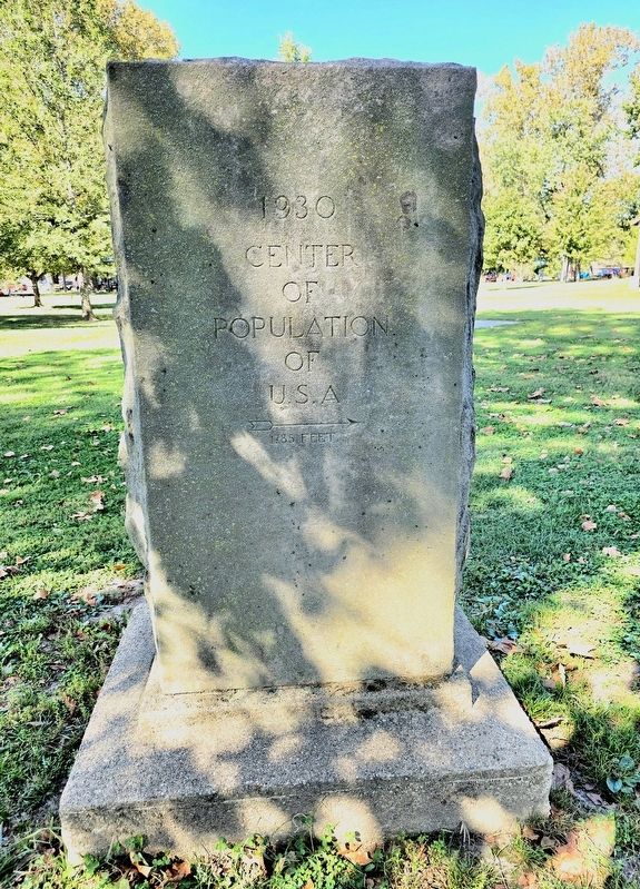
Photographed by Shirley A Stirling, October 13, 2026
2. 1930 center of population Marker
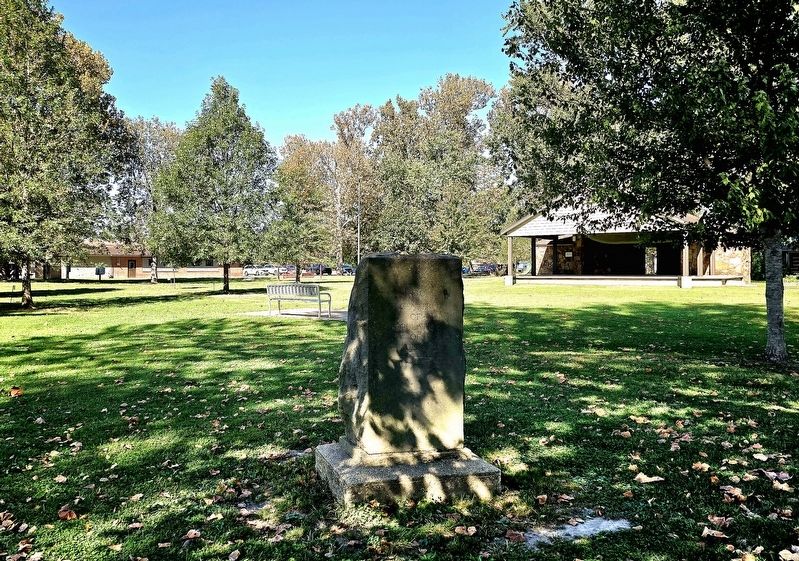
Photographed by Shirley A Stirling, October 13, 2026
3. in the park
Credits. This page was last revised on October 14, 2026. It was originally submitted on October 13, 2026, by Shirley A Stirling of Lacey, Washington. This page has been viewed 13 times since then. Photos: 1, 2, 3. submitted on October 13, 2026, by Shirley A Stirling of Lacey, Washington. • Devry Becker Jones was the editor who published this page.
