Near Aspendell in Inyo County, California — The American West (Pacific Coastal)
Cardinal Gold Mine
Photographed by Craig Baker
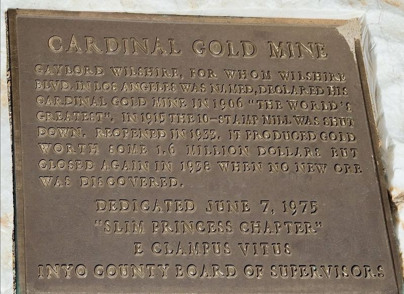
1. Cardinal Gold Mine Marker
Gaylord Wilshire, for whom Wilshire Blvd. in Los Angeles was named, declared his Cardinal Gold Mine in 1906 "The World's Greatest". In 1915 the 10-stamp mill was shut down. Reopened in 1933, it produced gold worth some 1.6 million dollars but closed again in 1938 when no new ore was discovered.
Erected 1975 by "Slim Princess Chapter" E Clampus Vitus, and Inyo County Board of Supervisors.
Topics. This historical marker is listed in this topic list: Industry & Commerce. A significant historical year for this entry is 1906.
Location. 37° 13.602′ N, 118° 36.263′ W. Marker is near Aspendell, California, in Inyo County. It can be reached from Cardinal Road (California Route 168) 18 miles west of U.S. 395, on the right when traveling west. Located near Cardinal Village Resort. The resort and roads are closed in winter. Touch for map. Marker is at or near this postal address: 311 Cardinal Rd, Bishop CA 93514, United States of America. Touch for directions.

Regionally, this marker is in the Sierra Nevada. It is also in the American Mountain West. Globally, it is in North America, on the Ring of Fire, on the Pacific
this page online
Other nearby markers. At least 8 other markers are within 13 miles of this marker, measured as the crow flies: Power for the Diggins (approx. 1.7 miles away); Parcher's Rainbow Camp / Rainbow Pack Outfit (approx. 3.8 miles away); Buttermilk Road (approx. 8.9 miles away); Lon Chaney Cabin (approx. 9.9 miles away); Bishop Creek Battleground (approx. 10.4 miles away); Millpond Recreation Area (approx. 12.2 miles away); San Francis Ranch (approx. 12½ miles away); Izaak Walton Park (approx. 12.9 miles away).
Regarding Cardinal Gold Mine. The mine began from a small claim by two brothers, Felix and Charles Meyerson, who found gold near the headwaters of the Middle Fork of Bishop Creek in 1890. They called it the "Tip Top" mine and worked the claim for 5 years. In 1895 the mine was sold to a consortium of investors from New York City. For the next 10 years, limited mining activity took place, but in 1905 the company was fully formed as the "Bishop Creek Gold Company"
Photographed by Craig Baker
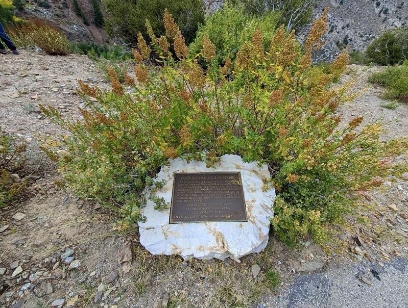
2. Cardinal Gold Mine Marker
The mine was a large, impressive operation in its day. Deep shafts were drilled, and 4,000 feet of tunnels dug. The mine operated from 1890 to 1938. During its operation it was considered one of the 10 top producers of gold ore in California. It also produced silver, copper, and lead.
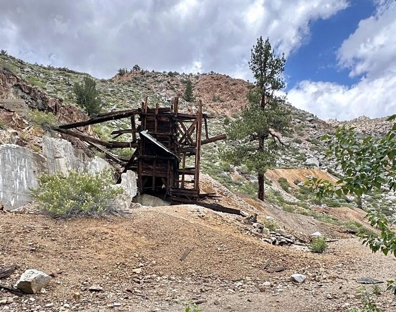
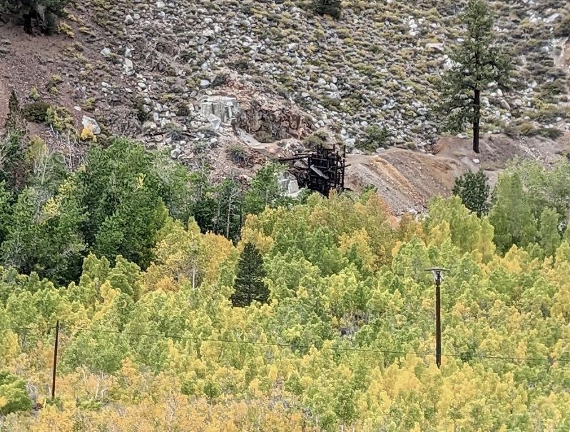
Some remnants of this mine are still visible and accessible by a short trail from Cardinal Village Resort. A few of the original village structures have been restored and are now used as the guest cabins at the resort.
The mine was declared California Historical Point of Interest No. P443 on October 1, 1975.
Additional keywords. Cardinal Village Resort
Photographed by Craig Baker
3. Cardinal Gold Mine
Photographed by Craig Baker
4. Cardinal Gold Mine
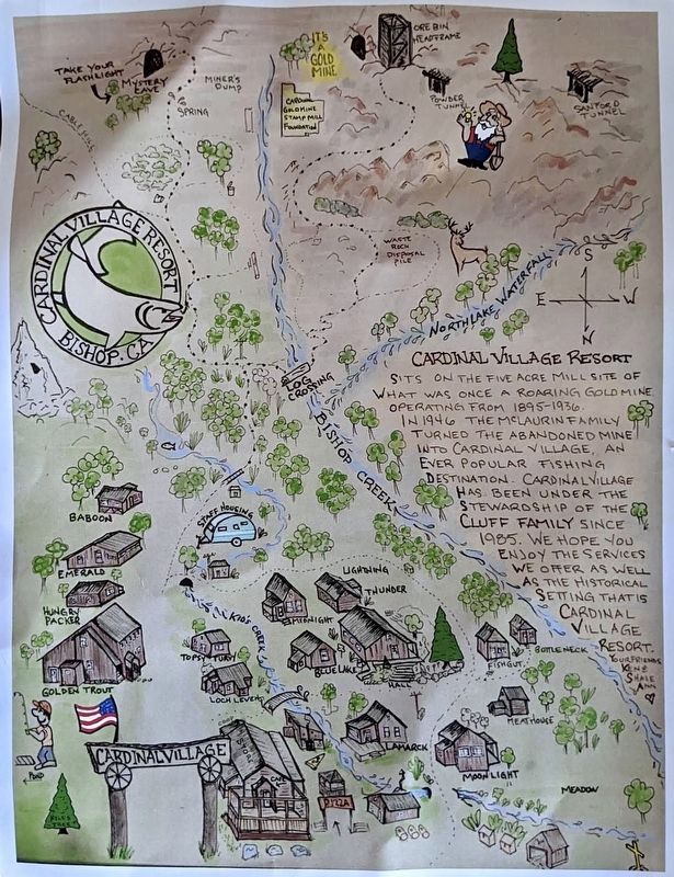
courtesy Cardinal Village Resort
5. Cardinal Gold Mine Trail Map
Credits. This page was last revised on October 14, 2026. It was originally submitted on October 14, 2026, by Craig Baker of Sylmar, California. This page has been viewed 16 times since then. Photos: 1, 2, 3, 4, 5. submitted on October 14, 2026, by Craig Baker of Sylmar, California.
