Altstadt in Koblenz, Rhineland-Palatinate, Germany — Central Europe
Oberlandesgericht Koblenz — Dienstgebäude II
⎯⎯⎯
Higher Regional Court of Koblenz
Photographed by James Hulse, October 4, 2026
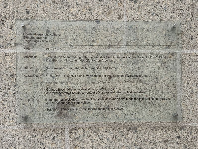
1. Oberlandesgericht Koblenz — Dienstgebäude II / Higher Regional Court of Koblenz Marker

Dienstgebäude II
Regierungsstraße 7
Erbaut: 1902 - 1905
Architekt: Entwurf und Ausarbeitung unter Leitung des Geh. Oberbaurats Paul Kieschke (1851-1905), Preußisches Ministerium der öffentlichen Arbeiten
Baustil: Neoromanisch (frei behandelte romanische Stilformen)
Verwendung: 1905 - 1910 Dienstvilla des Präsidenten der Preußischen Bezirksregierung
Regierungspräsident dieser Zeit: August Freiherr von Hövel (1899-1910)
Geringe Beschädigung während des 2. Weltkriegs; der repräsentative Saalbau, heute als Sitzungssaal genutzt, blieb erhalten.
Nach dem 2. Weltkrieg zunächst Dienstsitz des Oberverwaltungsgerichts Rheinland-Pfalz und des Verwaltungsgerichts Koblenz
Seit Juni 1978 Dienstsitz des Oberlandesgerichts Koblenz
Higher Regional Court of Koblenz
Official Building II
Regierungsstraße 7
Built between 1902 and 1905.
Architect: Designed and developed under the direction of Senior Privy Building Councillor Paul Kieschke (1851–1905), Prussian Ministry of Public Works.
Architectural style: Romanesque Revival, with freely interpreted
this page online
Use: From 1905 to 1910, it served as the official residence of the president of the Prussian district government.
The district president during this period was August, Baron von Hövel (1899–1910).
The building suffered minor damage during the Second World War. Its grand hall, now used as a meeting room, survived.
After the Second World War, it initially housed the Higher Administrative Court of Rhineland-Palatinate and the Administrative Court of Koblenz.
Since June 1978, it has served as an official building of the Higher Regional Court of Koblenz.
Topics. This historical marker is listed in this topic list: Notable Buildings. A significant historical month for this entry is June 1978.
Location. 50° 21.448′ N, 7° 36.189′ E. Marker is in Koblenz, Rheinland-Pfalz (Rhineland-Palatinate). It is in Altstadt. It is at the intersection of Stresemannstraße and Regierungsstraße, on the left when traveling east on Stresemannstraße. Touch for map. Marker is at or near this postal address: Regierungsstraße 7, Koblenz RP 56068, Germany. Touch for directions.

Regionally, this marker is in the German Rhineland, in the Upper
Photographed by James Hulse, October 3, 2026
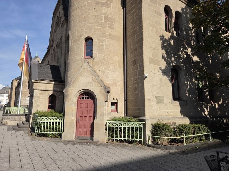
2. Oberlandesgericht Koblenz — Dienstgebäude II / Higher Regional Court of Koblenz Marker
Other nearby markers. At least 8 other markers are within walking distance of this marker: Oberlandesgericht Koblenz / Higher Regional Court of Koblenz (within shouting distance of this marker); Zum Gedenken an die Opfer des Nationalsozialismus / In memory of the victims of National Socialism (within shouting distance of this marker); Altes Regierungsgebäude / Old Government Building (about 120 meters away, measured in a direct line); Struktur- und Genehmigungsdirektion Nord / Structure and Approval Directorate North (about 150 meters away); Schiffbrücke Koblenz-Ehrenbreitstein / Koblenz-Ehrenbreitstein Pontoon Bridge (about 150 meters away); Relief for Koblenz’s Youth (about 210 meters away); Schlossgarten Koblenz - Peter Joseph Lenné (about 240 meters away); Ehem. v. Lassaulx’sches Haus / Former von Lassaulx House
Photographed by James Hulse, October 4, 2026
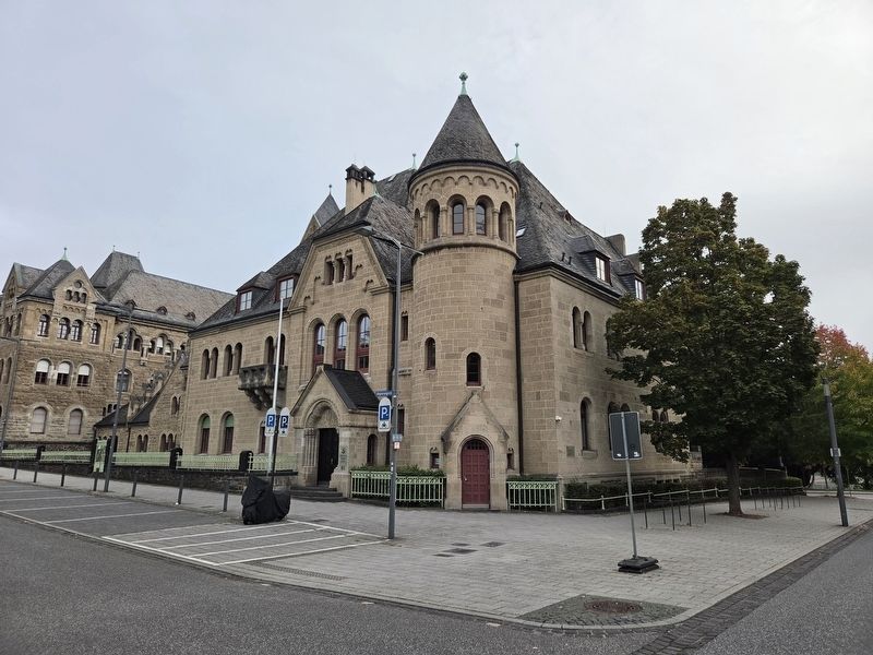
3. Oberlandesgericht Koblenz — Dienstgebäude II / Higher Regional Court of Koblenz Marker
Credits. This page was last revised on October 14, 2026. It was originally submitted on October 14, 2026, by James Hulse of Medina, Texas. This page has been viewed 10 times since then. Photos: 1, 2, 3. submitted on October 14, 2026, by James Hulse of Medina, Texas.
