Kobern-Gondorf in Mayen-Koblenz, Rhineland-Palatinate, Germany — Central Europe
Elektrizitätswerk Nikolaus Molitor
⎯⎯⎯
Nikolaus Molitor Power Station
Photographed by James Hulse, October 5, 2026
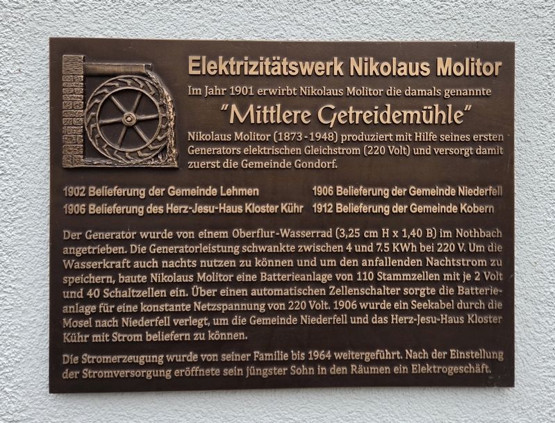
1. Elektrizitätswerk Nikolaus Molitor / Nikolaus Molitor Power Station Marker

Im Jahr 1901 erwirbt Nikolaus Molitor die damals genannte "Mittlere Getreidemühle". Nikolaus Molitor (1873 - 1948) produziert mit Hilfe seines ersten Generators elektrischen Gleichstrom (220 Volt) und versorgt damit zuerst die Gemeinde Gondorf.
1902 Belieferung der Gemeinde Lehmen
1906 Belieferung des Herz-Jesu-Haus Kloster Kühr
1906 Belieferung der Gemeinde Niederfell
1912 Belieferung der Gemeinde Kobern
Der Generator wurde von einem Oberflur-Wasserrad (3,25 cm H x 1,40 B) im Nothbach angetrieben. Die Generatorleistung schwankte zwischen 4 und 7.5 KWh bei 220 V. Um die Wasserkraft auch nachts nutzen zu können und um den anfallenden Nachtstrom zu speichern, baute Nikolaus Molitor eine Batterieanlage von 110 Stammzellen mit je 2 Volt und 40 Schaltzellen ein. Über einen automatischen Zellenschalter sorgte die Batterieanlage für eine konstante Netzspannung von 220 Volt. 1906 wurde ein Seekabel durch die Mosel nach Niederfell verlegt, um die Gemeinde Niederfell und das Herz-Jesu-Haus Kloster Kühr mit Strom beliefern zu können.
Die Stromerzeugung wurde von seiner Familie
this page online
Nikolaus Molitor Power Station
In 1901, Nikolaus Molitor purchased what was then called the "Middle Grain Mill." Nikolaus Molitor (1873–1948) used his first generator to produce 220-volt direct current, initially supplying the municipality of Gondorf.
Electricity supplies began to Lehmen in 1902, Herz-Jesu-Haus at Kühr Monastery and Niederfell in 1906, and Kobern in 1912.
The generator was driven by an overshot waterwheel in the Nothbach, with dimensions given on the plaque as 3.25 cm high by 1.40 wide. The generator’s output varied between 4 and 7.5 kWh at 220 volts. To use waterpower at night and store the electricity generated overnight, Nikolaus Molitor installed a battery system with 110 main cells, each rated at two volts, and 40 switching cells. An automatic cell switch maintained a constant supply voltage of 220 volts. In 1906, an underwater cable was laid through the Moselle to Niederfell to supply the municipality and Herz-Jesu-Haus at Kühr Monastery.
His family
Photographed by James Hulse, October 5, 2026
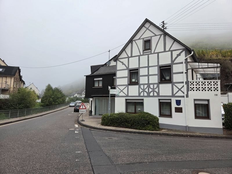
2. Elektrizitätswerk Nikolaus Molitor / Nikolaus Molitor Power Station Marker
The Ehemalige "Mittlere Getreidemühle" marker is located above the Power Station marker.
Topics. This historical marker is listed in this topic list: Industry & Commerce. A significant historical year for this entry is 1901.
Location. 50° 17.432′ N, 7° 27.379′ E. Marker is in Kobern-Gondorf, Rheinland-Pfalz (Rhineland-Palatinate), in Mayen-Koblenz. It is at the intersection of Römerstraße and Maifeldstraße, on the left when traveling east on Römerstraße. Touch for map. Marker is at or near this postal address: Römerstraße 110, Kobern-Gondorf RP 56330, Germany. Touch for directions.

Regionally, this marker is in the German Rhineland, in the Eifel, and in the Moselle Valley. Globally, it is in Europe, the European Union, Atlantic Europe, Central Europe, the Schengen Area, Western Europe, and the Western World. Historically, it finds itself in what was once the Roman Empire, the Holy Roman Empire, and the former West Germany.
Other nearby markers. At least 8 other markers are within walking distance of this marker: Ehemalige "Mittlere Getreidemühle" / Former "Middle Grain Mill" (here, next to this marker); Mittelalterliches Hofgut mit Fachwerk / Medieval Estate with Timber Framing (about 120 meters away, measured in a direct line); Historische Grabkreuze / Historic Grave Crosses (about 120 meters away); Ehemalige Gondorfer zweiklassige Volksschule / Former Gondorf Two-Class Elementary School (about 150 meters away); Grabplatte / Grave Slab (about 150 meters away); Die Kirchenglocken von Gondorf / The Church Bells of Gondorf (about 150 meters away); Gondorf (about 180 meters away); Tuffsteinsarg / Tuff Stone Coffin (about 180 meters away). Touch for a list and map of all markers in Kobern-Gondorf.
Credits. This page was last revised on October 15, 2026. It was originally submitted on October 14, 2026, by James Hulse of Medina, Texas. This page has been viewed 9 times since then. Photos: 1, 2. submitted on October 14, 2026, by James Hulse of Medina, Texas.
