Georgs-Viertel in Köln, North Rhine-Westphalia, Germany — Central Europe
Werft- und Hafenanlagen
⎯⎯⎯
Wharf and Harbor Facilities
Photographed by James Hulse, October 5, 2026
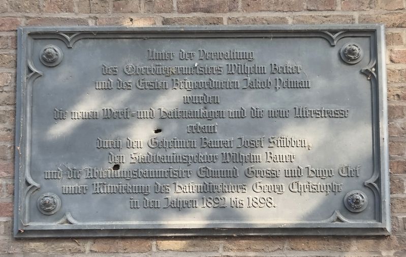
1. Werft- und Hafenanlagen / Wharf and Harbor Facilities Marker

Under the administration of Mayor Wilhelm Becker and First Deputy Mayor Jakob Pelman, the new wharf and harbor facilities and the new riverside road were built between 1892 and 1898 by Privy Building Councilor Josef Stübben, City Building Inspector Wilhelm Bauer, and government architects Edmund Grosse and Hugo Clot, with the participation of Harbor Director Georg Chistopher.
Topics. This historical marker is listed in this topic list: Notable Places. A significant historical year for this entry is 1892.
Location. 50° 55.961′ N, 6° 57.812′ E. Marker is in Köln, Nordrhein-Westfalen (North Rhine-Westphalia). It is in Georgs-Viertel. It is at the intersection of Am Leystapel and Große Witschgasse, on the right when traveling north on Am Leystapel. Touch for map. Marker is in this post office area: Köln HE 50676, Germany. Touch for directions.

Regionally, this marker is in the German Rhineland. Globally, it is in Europe, the European Union, Atlantic Europe, Central Europe, the Schengen Area, Western Europe, and the Western World. Historically, it finds itself in what was once the Roman Empire, the Holy Roman Empire, the Hanseatic League, and the former West Germany.
Other nearby markers. At
this page online
Photographed by James Hulse, October 5, 2026
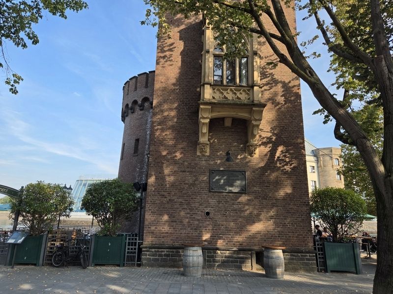
2. Werft- und Hafenanlagen / Wharf and Harbor Facilities Marker
Photographed by James Hulse, October 5, 2026
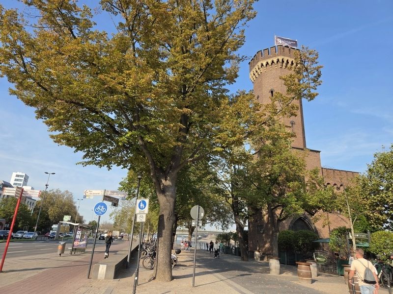
3. Werft- und Hafenanlagen / Wharf and Harbor Facilities Marker
Photographed by James Hulse, October 5, 2026
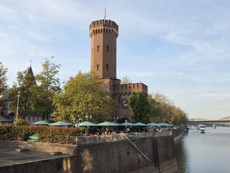
4. Werft- und Hafenanlagen / Wharf and Harbor Facilities Marker
Credits. This page was last revised on October 15, 2026. It was originally submitted on October 14, 2026, by James Hulse of Medina, Texas. This page has been viewed 7 times since then. Photos: 1, 2, 3, 4. submitted on October 15, 2026, by James Hulse of Medina, Texas.
