
Georgs-Viertel in Köln, North Rhine-Westphalia, Germany — Central Europe
St. Georg
Photographed by James Hulse, October 6, 2026
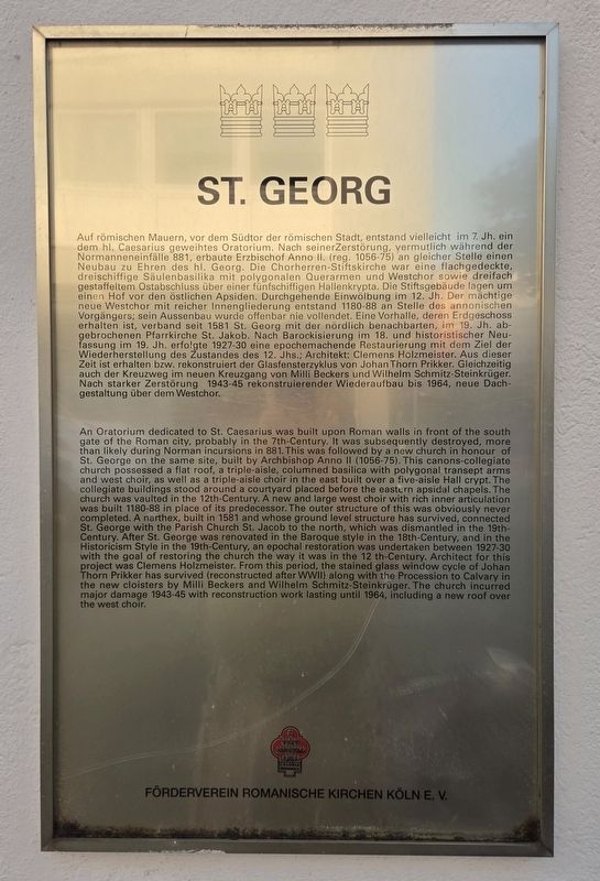
1. St. Georg Marker

Auf römischen Mauern, vor dem Südtor der römischen Stadt, entstand vielleicht im 7. Jh. ein dem hl. Caesarius geweihtes Oratorium. Nach seiner Zerstörung, vermutlich während der Normanneneinfälle 881, erbaute Erzbischof Anno II. (reg. 1056-75) an gleicher Stelle einen Neubau zu Ehren des hl. Georg. Die Chorherren-Stiftskirche war eine flachgedeckte, dreischiffige Säulenbasilika mit polygonalen Querarmen und Westchor sowie dreifach gestaffeltem Ostabschluss über einer fünfschiffigen Hallenkrypta. Die Stiftsgebäude lagen um einen Hof vor den östlichen Apsiden. Durchgehende Einwölbung im 12. Jh. Der mächtige neue Westchor mit reicher Innengliederung entstand 1180-88 an Stelle des annonischen Vorgängers; sein Aussenbau wurde offenbar nie vollendet. Eine Vorhalle, deren Erdgeschoss erhalten ist, verband seit 1581 St. Georg mit der nördlich benachbarten, im 19. Jh. abgebrochenen Pfarrkirche St. Jakob. Nach Barockisierung im 18. und historistischer Neufassung im 19. Jh. erfolgte 1927-30 eine epochemachende Restaurierung mit dem Ziel der Wiederherstellung des Zustandes des 12. Jhs.; Architekt: Clemens Holzmeister. Aus dieser Zeit ist erhalten bzw. rekonstruiert der Glasfensterzyklus von Johan Thorn Prikker. Gleichzeitig auch der Kreuzweg im neuen Kreuzgang von Milli Beckers und Wilhelm Schmitz-Steinkrüger. Nach starker Zerstörung 1943-45 rekonstruierender Wiederaufbau bis 1964, neue Dachgestaltung über dem Westchor.
this page online
Erected by Förderverein Romanische Kirchen Köln e. V.
Topics. This historical marker is listed in this topic list: Religion & Religious Structures. A significant historical year for this entry is 1581.
Location. 50° 55.925′ N, 6° 57.404′ E. Marker is in Köln, Nordrhein-Westfalen (North Rhine-Westphalia). It is in Georgs-Viertel. It is at the intersection of Georgsplatz and Waidmarkt, on the left when traveling west on Georgsplatz. Touch for map. Marker is at or near this postal address: Georgspl 17, Köln HE 50676, Germany. Touch for directions.

Regionally, this marker is in the German Rhineland. Globally, it is in Europe, the European Union, Atlantic Europe, Central Europe, the Schengen Area, Western Europe, and the Western World. Historically, it finds itself in what was once the Roman Empire, the Holy Roman Empire, the Hanseatic
Photographed by James Hulse, October 6, 2026
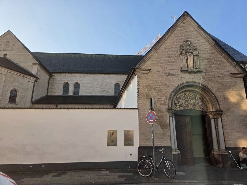
2. St. Georg Marker
The St. Jakob marker is on the left, and the St. Georg marker is on the right.
Other nearby markers. At least 8 other markers are within walking distance of this marker: Pfarrkirche St. Jakob / Parish Church of St. James (a few steps from this marker); Romm (approx. 0.3 kilometers away); Rommni (approx. 0.3 kilometers away); a different marker also named Romm (approx. 0.3 kilometers away); Samuel Oszkowski (approx. 0.3 kilometers away); Abram Oszkowski (approx. 0.3 kilometers away); Marian Oszkowski (approx. 0.3 kilometers away); Ester Ettel Oszkowski (approx. 0.3 kilometers away). Touch for a list and map of all markers in Köln.
Photographed by James Hulse, October 6, 2026
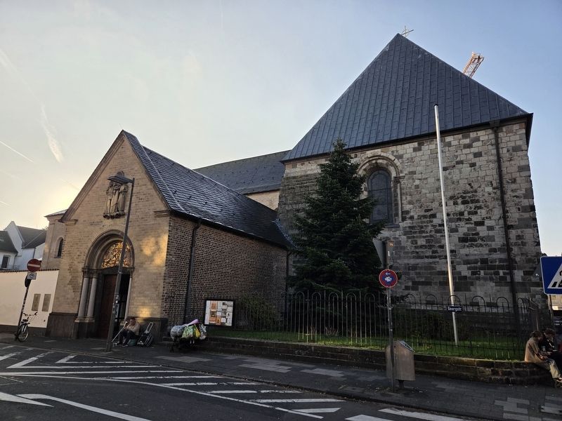
3. St. Georg Marker
Credits. This page was last revised on October 15, 2026. It was originally submitted on October 14, 2026, by James Hulse of Medina, Texas. This page has been viewed 6 times since then. Photos: 1, 2, 3. submitted on October 15, 2026, by James Hulse of Medina, Texas.
