Cäcilien-Viertel in Köln, North Rhine-Westphalia, Germany — Central Europe
St. Peter
Photographed by James Hulse, October 6, 2026
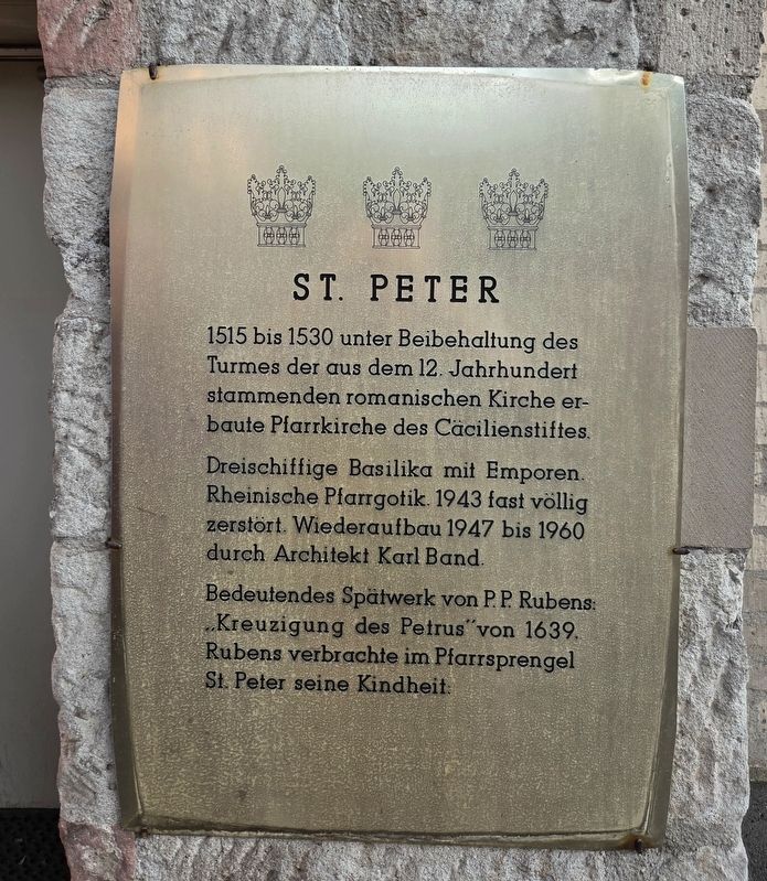
1. St. Peter Marker

1515 bis 1530 unter Beibehaltung des Turmes der aus dem 12. Jahrhundert stammenden romanischen Kirche erbaute Pfarrkirche des Cäcilienstiftes.
Dreischiffige Basilika mit Emporen. Rheinische Pfarrgotik. 1943 fast völlig zerstört. Wiederaufbau 1947 bis 1960 durch Architekt Karl Band.
Bedeutendes Spätwerk von P. P. Rubens: „Kreuzigung des Petrus“ von 1639. Rubens verbrachte im Pfarrsprengel St. Peter seine Kindheit.
St. Peter
The parish church of St. Cecilia’s collegiate foundation was built between 1515 and 1530, retaining the tower of the earlier twelfth-century Romanesque church.
A three-aisled basilica with galleries in the Rhenish parish Gothic style. Almost completely destroyed in 1943, it was rebuilt between 1947 and 1960 by architect Karl Band.
An important late work by P. P. Rubens, “The Crucifixion of St. Peter,” dates from 1639. Rubens spent his childhood within the parish of St. Peter.
Topics. This historical marker is listed in this topic list: Religion & Religious Structures. A significant historical year for this entry is 1515.
Location. 50° 56.057′ N, 6° 57.097′ E. Marker is in Köln, Nordrhein-Westfalen (North Rhine-Westphalia). It is in Cäcilien-Viertel. It is at the intersection of Leonhard-Tietz-Straße and Jabachstraße, on the left when traveling east on Leonhard-Tietz-Straße. Touch for map. Marker is at or near this postal address: Leonhard-Tietz-Straße 8, Köln HE 50676, Germany. Touch for directions.

Regionally, this marker is in the German Rhineland. Globally, it is in Europe, the European Union, Atlantic Europe, Central Europe,
this page online
Other nearby markers. At least 8 other markers are within walking distance of this marker: St. Cäcilien / Museum Schnütgen (within shouting distance of this marker); Fygen Lutzenkirchen (within shouting distance of this marker); Liddy Pins (about 120 meters away, measured in a direct line); Margarete Pins (about 120 meters away); Romm (about 150 meters away); Rommni (about 150 meters away); a different marker also named Rommni (about 150 meters away); a different marker also named Romm (about 150 meters away). Touch for a list and map of all markers in Köln.
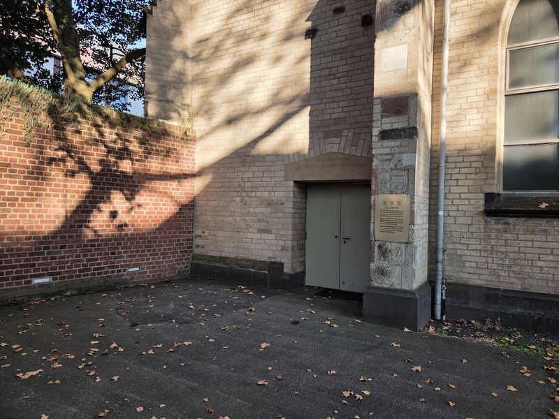
Photographed by James Hulse, October 6, 2026
2. St. Peter Marker
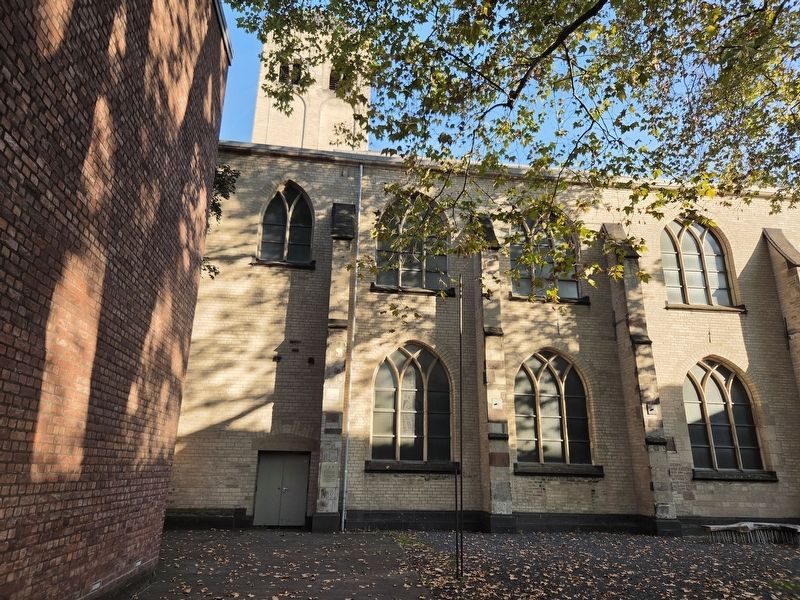
Photographed by James Hulse, October 6, 2026
3. St. Peter Marker
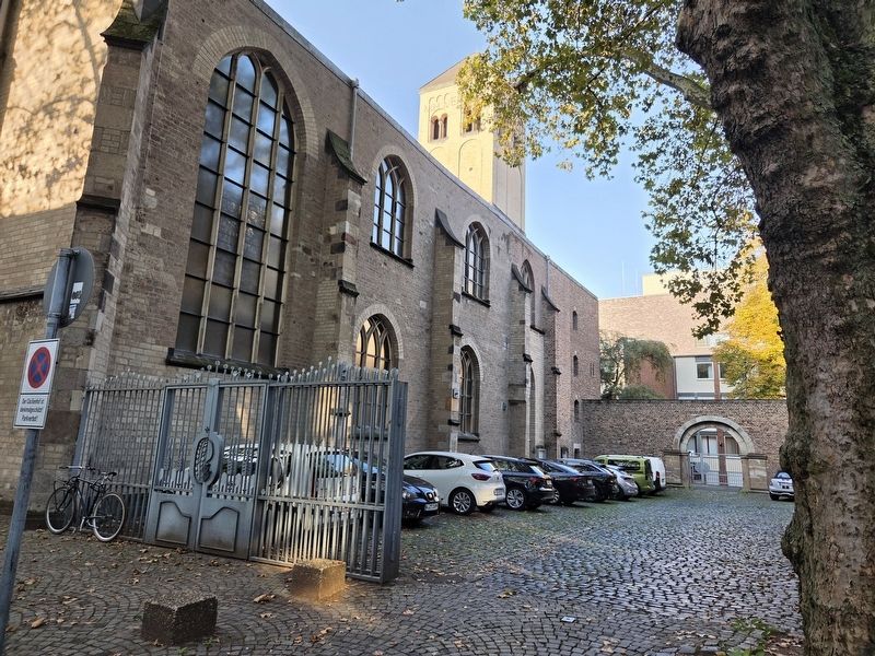
Photographed by James Hulse, October 6, 2026
4. St. Peter Marker
Credits. This page was last revised on October 15, 2026. It was originally submitted on October 14, 2026, by James Hulse of Medina, Texas. This page has been viewed 9 times since then. Photos: 1, 2, 3, 4. submitted on October 15, 2026, by James Hulse of Medina, Texas.
