Martins-Viertel in Köln, North Rhine-Westphalia, Germany — Central Europe
Groß St. Martin
Photographed by James Hulse
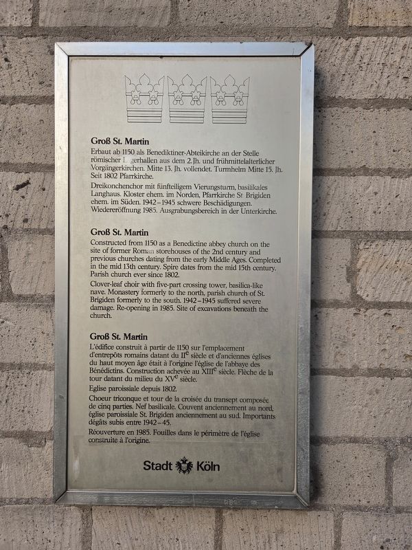
1. Groß St. Martin Marker

Erbaut ab 1150 als Benediktiner-Abteikirche an der Stelle römischer Lagerhallen aus dem 2. Jh. und frühmittelalterlicher Vorgängerkirchen. Mitte 13. Jh. vollendet. Turmhelm Mitte 15. Jh. Seit 1802 Pfarrkirche.
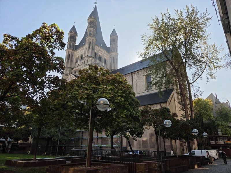
Dreikonchenchor mit fünfteiligem Vierungsturm, basilikales Langhaus. Kloster ehem. im Norden, Pfarrkirche St. Brigiden ehem. im Süden. 1942–1945 schwere Beschädigungen. Wiedereröffnung 1985. Ausgrabungsbereich in der Unterkirche.
Groß St. Martin
Clover-leaf choir with five-part crossing tower, basilica-like nave. Monastery formerly to the north, parish church of St. Brigiden formerly to the south. 1942–1945 suffered severe damage. Re-opening in 1985. Site of excavations beneath the church.
Groß St. Martin
this page online
Eglise paroissiale depuis 1802.
Choeur triconque et tour de la croisée du transept composée de cinq parties. Nef basilicale. Couvent anciennement au nord, église paroissiale St. Brigiden anciennement au sud. Importants dégâts subis entre 1942–45.
Réouverture en 1985. Fouilles dans le périmètre de l’église construite à l’origine.
Erected by Stadt Köln.
Topics. This historical marker is listed in this topic list: Religion & Religious Structures.
Location. 50° 56.308′ N, 6° 57.675′ E. Marker is in Köln, Nordrhein-Westfalen (North Rhine-Westphalia). It is in Martins-Viertel. It is on An Groß St. Martin 0.1 kilometers north of Lintgasse, on the right when traveling north. Touch for map. Marker is in this post office area: Köln HE 50667, Germany. Touch for directions.

Regionally, this marker is in the German Rhineland. Globally, it is in Europe, the European Union, Atlantic
Photographed by James Hulse, October 6, 2026
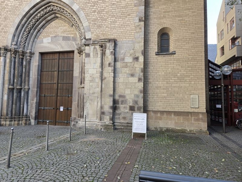
2. Groß St. Martin Marker
Other nearby markers. At least 8 other markers are within walking distance of this marker: „Schmitz-Säule“ / “Schmitz Column” (within shouting distance of this marker); Martinspförtchen / St. Martin’s Little Gateway (within shouting distance of this marker); Robert Blum (within shouting distance of this marker); Kaiser Friedrich III. (within shouting distance of this marker); Stapelhaus / Staple House (within shouting distance of this marker); Peters Brauhaus (about 90 meters away, measured in a direct line); Historisches Rathaus / Historical Town Hall (about 120 meters away); Kölner Hochwassergeschichte / Cologne’s Flood History (about 120 meters away). Touch for a list and map of all markers in Köln.
Photographed by James Hulse
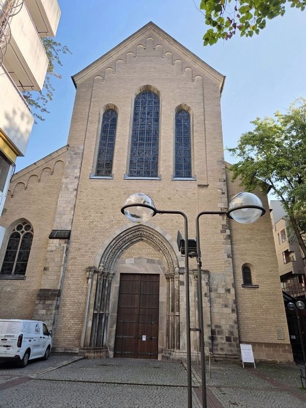
3. Groß St. Martin and Marker
Photographed by James Hulse, October 6, 2026
4. Groß St. Martin
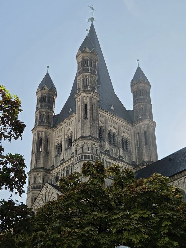
Photographed by James Hulse
5. Groß St. Martin Marker
Credits. This page was last revised on October 15, 2026. It was originally submitted on October 14, 2026, by James Hulse of Medina, Texas. This page has been viewed 8 times since then. Photos: 1, 2, 3, 4, 5. submitted on October 15, 2026, by James Hulse of Medina, Texas.
