Lewis Township in Turbotville in Northumberland County, Pennsylvania — The American Northeast (Mid-Atlantic)
Fort Freeland
Photographed by Richard Peterson, October 13, 2026
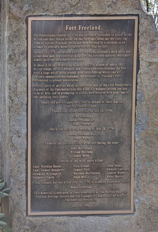
1. Fort Freeland Marker
On July 20, 1779, an advance party of the enemy attacked a work party and killed three men in a cornfield in back of the Fort and captured two others. Almost daily the harassment continued.
At about 6:30 on the morning of July 28, 1779, a force of nearly 300 British troops, Butler's Rangers, and Iroqouis warriors attacked the Fort. After a siege which lasted around three hours, during which time all available ammunition was expended, the defenders of Freeland's Fort surrendered to prevent annihilation.
A relief party of militia, which included some men of the 12th Pennsylvania Regiment of the Continental Line and Kemplin's Rangers, arrived too late to be of help, and in attempting to attack, were defeated with great loss of life, including their leaders.
Twenty one patriots gave their lives in defense of their families and for freedom's cause.
– Three killed in the cornfield on July 20, 1779 –
Elias Freeland · Jacob Freeland, Jr. · Isaac Vincent
– Two killed early in the morning of July 28, 1779 –
Jacob Freeland, Sr. · James Watts
– Three of the garrison killed in the fort during the siege –
John McClintock · William McClung · James Miles
– Twelve of the relief party killed – Capt. Hawkins Boone · Capt. Samuel Dougherty · Jeremiah McLaughlin · Nathaniel Smith · Ezra Greene · Samuel Neill · Matthew McClintock · Hugh McGill · John Johns · Edward Costigan · Andrew Woods · Peter Martin
– One escaped, but was killed July 29, 1779, at a nearby abandoned fort –
Henry Gilfillian
This memorial is dedicated to these brave souls
this page online
July 28, 1996
Erected 1996 by The Warrior Run-Fort Freeland Heritage Society & Tiadaghton Chapter, Sons of The American Revolution.
Topics and series. This historical marker is listed in these topic lists: Forts and Castles • War, US Revolutionary. In addition, it is included in the Sons of the American Revolution (SAR) series list. A significant historical date for this entry is July 28, 1779.
Location. 41° 6.141′ N, 76° 47.781′ W. Marker is in Turbotville, Pennsylvania, in Northumberland County. It is in Lewis Township. It is on Warrior Run Boulevard 0.3 miles east of Susquehanna Trail. Located behind the fields at Warrior Run Elementary School. Touch for map. Marker is at or near this postal address: 248 Warrior Run Boulevard, Turbotville PA 17772, United States of America. Touch for directions.

Regionally, this marker is in Anthracite Coal Region and in the Susquehanna Valley. It is also in the American Northeast, in the Mid-Atlantic, in Appalachia, and specifically in Northern Appalachia. Globally, it is in
Photographed by Richard Peterson, October 13, 2026
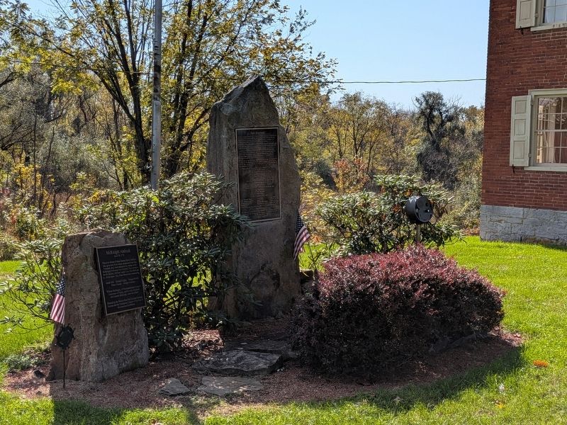
2. Fort Freeland Marker next to Hower-Slote House
Other nearby markers. At least 8 other markers are within 4 miles of this marker, measured as the crow flies: McKnight Ambush (here, next to this marker); a different marker also named Fort Freeland (approx. half a mile away); a different marker also named Fort Freeland (approx. 0.6 miles away); Col. Matthew Smith (approx. 0.6 miles away); Warrior Run Church (approx. 0.7 miles away); Town Clock Bell (approx. 3.7 miles away); The Robert E. Brown Memorial Park (approx. 3.9 miles away); War Memorial (approx. 3.9 miles away). Touch for a list and map of all markers in Turbotville.
Also see . . . Battle of Fort Freeland. By The Warrior Run-Fort Freeland Heritage Society
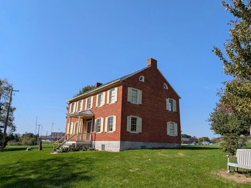
A few weeks after the battle, Benjamin Franklin reported the event in the Pennsylvania Gazette where he talked about the “brave defenders of the Warrior Run” – the “Defenders” later became the mascot of the Warrior Run High School which today(Submitted on October 14, 2026, by Richard Peterson of East Windsor, New Jersey.)stands on the former Vreeland farm.Photographed by Richard Peterson, October 13, 20263. Hower-Slote House
Credits. This page was last revised on November 4, 2026. It was originally submitted on October 14, 2026, by Richard Peterson of East Windsor, New Jersey. This page has been viewed 11 times since then. Photos: 1, 2, 3. submitted on October 14, 2026, by Richard Peterson of East Windsor, New Jersey. • Andrew Ruppenstein was the editor who published this page.
