Lewis Township in Turbotville in Northumberland County, Pennsylvania — The American Northeast (Mid-Atlantic)
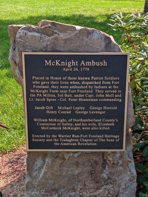
McKnight Ambush
April 26, 1779
Photographed by Richard Peterson, October 13, 2026
1. McKnight Ambush Marker
Jacob Gift · Michael Lepley · George Herrold · Henry Conrad · George Levengut
William McKnight, of Northumberland County’s Committee of Safety, and his wife, Elizabeth McCormick McKnight, were also killed.
Erected by the Warrior Run-Fort Freeland Heritage Society and the Tiadaghton Chapter of The Sons of the American Revolution.
Erected by Warrior Run-Fort Freeland Heritage Society & Tiadaghton Chapter, The Sons of the American Revolution.
Topics and series. This memorial is listed in this topic list: War, US Revolutionary. In addition, it is included in the Sons of the American Revolution (SAR) series list. A significant historical date for this entry is April 26, 1779.
Location. 41° 6.141′ N, 76° 47.781′ W. Memorial is in Turbotville, Pennsylvania, in Northumberland County. It is in Lewis Township. It can be reached from Warrior Run
this page online

Regionally, this memorial is in Anthracite Coal Region and in the Susquehanna Valley. It is also in the American Northeast, in the Mid-Atlantic, in Appalachia, and specifically in Northern Appalachia. Globally, it is in North America, the Western Hemisphere, the Western World, and the Anglosphere. Historically, it finds itself in what was once the Haudenosaunee (Iroquois) Confederacy and also one of the original Thirteen Colonies.
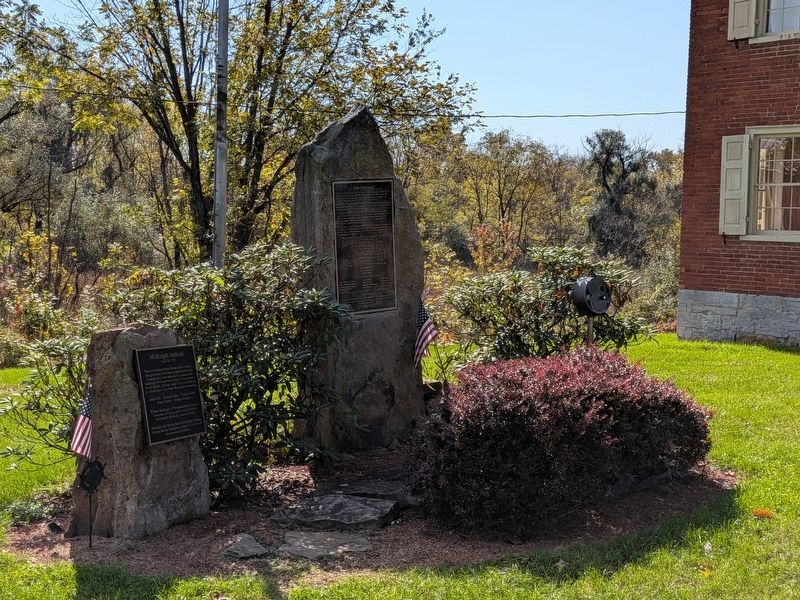
Other nearby markers. At least 8 other markers are within 4 miles of this marker, measured as the crow flies: Fort Freeland (here, next to this marker); a different marker also named Fort Freeland (approx. half a mile away); a different marker also named Fort Freeland (approx. 0.6 miles away); Col. Matthew Smith (approx. 0.6 miles away); Warrior Run Church (approx. 0.7 miles away); Town Clock Bell (approx. 3.7 miles away); The Robert E. Brown Memorial Park
Photographed by Richard Peterson, October 13, 2026
2. McKnight Ambush and Fort Freeland Markers near Hower-Slote House
Credits. This page was last revised on November 4, 2026. It was originally submitted on October 14, 2026, by Richard Peterson of East Windsor, New Jersey. This page has been viewed 9 times since then. Photos: 1, 2. submitted on October 14, 2026, by Richard Peterson of East Windsor, New Jersey. • Andrew Ruppenstein was the editor who published this page.
