
Georgs-Viertel in Köln, North Rhine-Westphalia, Germany — Central Europe
Pfarrkirche St. Jakob
⎯⎯⎯
Parish Church of St. James
Photographed by James Hulse, October 6, 2026
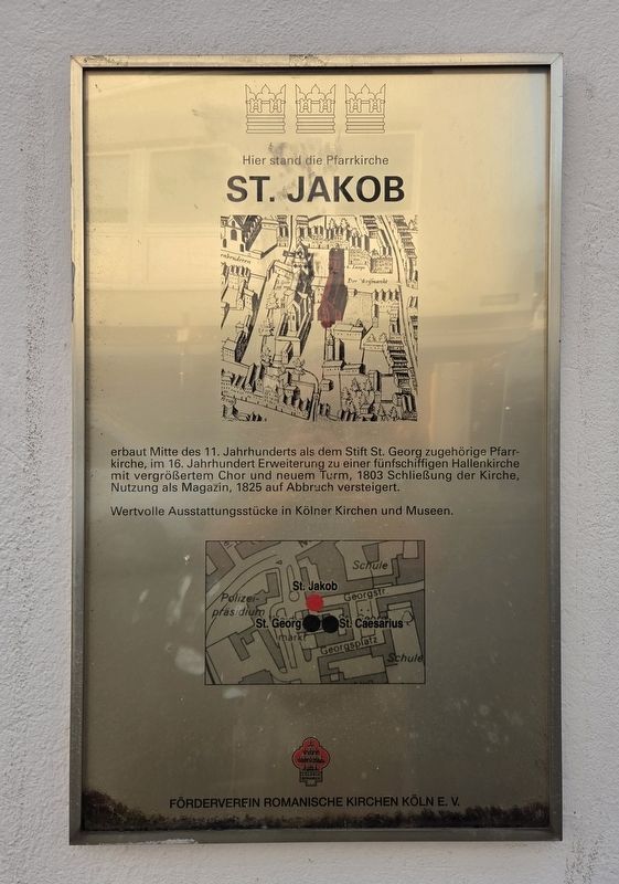
1. Pfarrkirche St. Jakob / Parish Church of St. James Marker

Erbaut Mitte des 11. Jahrhunderts als dem Stift St. Georg zugehörige Pfarrkirche, im 16. Jahrhundert Erweiterung zu einer fünfschiffigen Hallenkirche mit vergrößertem Chor und neuem Turm, 1803 Schließung der Kirche, Nutzung als Magazin, 1825 auf Abbruch versteigert.
Wertvolle Ausstattungsstücke in Kölner Kirchen und Museen.
Here Stood the Parish Church of St. James
Built in the mid-11th century as a parish church belonging to the collegiate foundation of St. George. In the 16th century, it was enlarged into a five-aisled hall church with an expanded choir and a new tower. The church was closed in 1803, used as a storehouse and auctioned for demolition in 1825.
Valuable furnishings are preserved in Cologne’s churches and museums.
Erected by Förderverein Romanische Kirchen Köln e. V.
Topics. This historical marker is listed in this topic list: Religion & Religious Structures. A significant historical year for this entry is 1803.
Location. 50° 55.923′ N, 6° 57.411′ E. Marker is in Köln, Nordrhein-Westfalen (North Rhine-Westphalia). It is in Georgs-Viertel. It is at the intersection of Georgsplatz and Waidmarkt, on the left when traveling west on Georgsplatz. Touch for map. Marker is at or near this postal address: Georgspl 17, Köln HE 50676, Germany. Touch for directions.

Regionally, this marker is in the German Rhineland. Globally, it is in Europe, the European Union, Atlantic Europe, Central Europe, the Schengen Area, Western Europe, and the Western World. Historically, it finds itself in what was once the Roman Empire,
this page online
Other nearby markers. At least 8 other markers are within walking distance of this marker: St. Georg (a few steps from this marker); Romm (approx. 0.3 kilometers away); Rommni (approx. 0.3 kilometers away); a different marker also named Romm (approx. 0.3 kilometers away); Samuel Oszkowski (approx. 0.3 kilometers away); Abram Oszkowski (approx. 0.3 kilometers away); Marian Oszkowski (approx. 0.3 kilometers away); Ester Ettel Oszkowski (approx. 0.3 kilometers away). Touch for a list and map of all markers in Köln.
Photographed by James Hulse, October 6, 2026
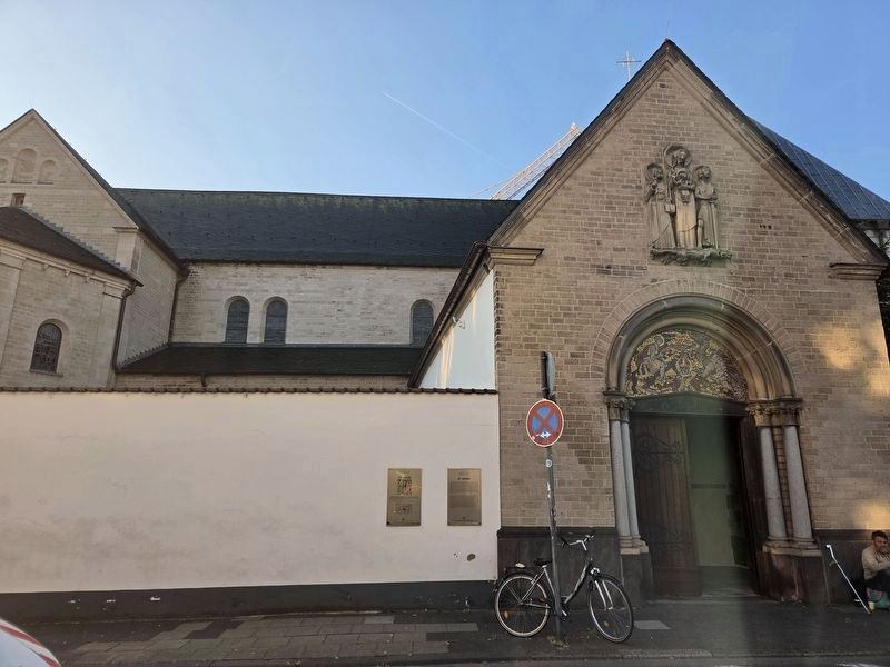
2. Pfarrkirche St. Jakob / Parish Church of St. James Marker (Left Side)
The St. Jakob marker is on the left, and the St. Georg marker is on the right.
Photographed by James Hulse, October 6, 2026
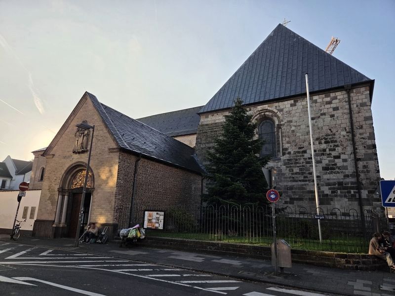
3. St. Georg Church
Credits. This page was last revised on October 15, 2026. It was originally submitted on October 15, 2026, by James Hulse of Medina, Texas. This page has been viewed 7 times since then. Photos: 1, 2, 3. submitted on October 15, 2026, by James Hulse of Medina, Texas.
