Belgrade Township in North Mankato in Nicollet County, Minnesota — The American Midwest (Upper Plains)
Kerns Community
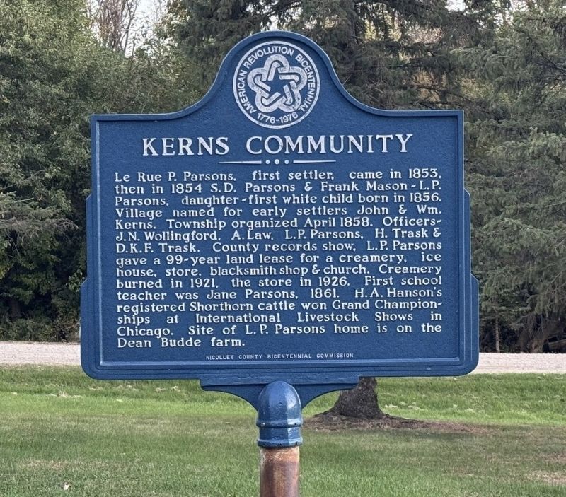
Photographed by Cameron Miller, October 14, 2026
1. Kerns Community Marker
Le Rue P. Parsons, first settler, came in 1853, then in 1854 S. D. Parsons & Frank Mason - L. P. Parsons, daughter-first white child born in 1856. Village named for early settlers John & Wm. Kerns. Township organized April 1858. Officers- J.N. Wollingford, A. Law, L.P. Parsons, H. Trask & D.K.F. Trask. County records show, L. P. Parsons gave a 99-year land lease for a creamery, ice house, store, blacksmith shop & church. Creamery burned in 1921, the store in 1926. First school teacher was Jane Parsons, 1861. H.A. Hanson's registered Shorthorn cattle won Grand Championships at International Livestock Shows in Chicago. Site of L. P. Parsons home is on the Dean Budde farm.
Erected by Nicollet County Bicentennial Commission.
Topics and series. This historical marker is listed in this topic list: Settlements & Settlers. In addition, it is included in the The Spirit of ’76, America’s Bicentennial Celebration series list. A significant historical year for this entry is 1853.
Location. 44° 11.776′ N, 94° 6.691′ W. Marker is in North Mankato, Minnesota, in Nicollet County. It is in Belgrade Township. It is at the
this page online

Regionally, this marker is in Southwest Minnesota and specifically in the Minnesota River Valley. It is also in the American Midwest and in the Corn Belt. Globally, it is in North America, the Western Hemisphere, the Western World, and the Anglosphere. Historically, it finds itself in what was once Rupert’s Land, the territory of the Mississippian Culture, and the Louisiana Purchase.
Other nearby markers. At least 8 other markers are within 5 miles of this marker, measured as the crow flies: Seppman Mill (approx. 2.2 miles away); The Turning Point (approx. 2.2 miles away); Granary (approx. 2.2 miles away); George M. Palmer (approx. 3.4 miles away); Former Homestead of Robert & Frieda Ulmen (approx. 3.4 miles away); Minnesota State Parks (approx. 3.4 miles away); Geology of Minnesota (approx. 4.3 miles away); The First Mahkato Memorial Wacipi (approx. 4.3 miles away).
Also see . . .
1. Bob Looks Back: The Early Years of Nicollet County Creameries (Nicollet County Historical Society).
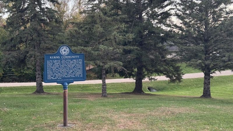
Photographed by Cameron Miller
2. Kerns Community Marker
2. 'Proud sentinel' of bygone village of Kerns is lost (Mankato Free Press, Oct 14, 2016). Excerpt:
One of the last remaining remnants of the town of Kerns came down with a bang Friday morning. A more than century-old chimney no longer stands as a landmark along Nicollet County Road 6 northwest of North Mankato. Once part of a creamery that burned down in 1920, the 60-foot-tall chimney was crumbling and neighbors decided the vestige needed to come down.(Submitted on November 4, 2026, by Cameron Miller of North Mankato, Minnesota.)
Credits. This page was last revised on November 4, 2026. It was originally submitted on October 15, 2026, by Cameron Miller of North Mankato, Minnesota. This page has been viewed 9 times since then. Photos: 1, 2. submitted on October 15, 2026, by Cameron Miller of North Mankato, Minnesota. • Andrew Ruppenstein was the editor who published this page.
