Franklin in Johnson County, Indiana — The American Midwest (Great Lakes)
City of Franklin
Platted 1823
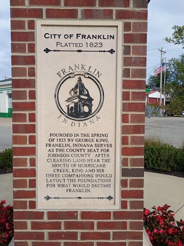
Photographed by Craig Doda, September 6, 2026
1. City of Franklin Marker
Founded in the spring of 1823 by George King, Franklin, Indiana serves as the county seat for Johnson County after clearing land near the mouth of Hurricane Creek, King and his three companions would layout the foundations for what would become Franklin.
Topics. This historical marker is listed in these topic lists: Political Subdivisions • Settlements & Settlers. A significant historical year for this entry is 1823.
Location. 39° 28.849′ N, 86° 3.074′ W. Marker is in Franklin, Indiana, in Johnson County. It is at the intersection of East Jefferson Street and North Crowell Street, on the right when traveling west on East Jefferson Street. Touch for map. Marker is at or near this postal address: 333 E Jefferson St, Franklin IN 46131, United States of America. Touch for directions.

Regionally, this marker is in Central Indiana and specifically in Greater Indianapolis. It is also in the American Midwest and in the Corn Belt. Globally, it is in North America, the Western Hemisphere, the Western World, and the Anglosphere. Historically, it finds itself in what was once the territory of the Mississippian Culture
this page online
Other nearby markers. At least 8 other markers are within walking distance of this marker: Franklin Wonder Five (here, next to this marker); Roger D. Branigin (here, next to this marker); Franklin College (here, next to this marker); Kittie Palmer School (about 500 feet away, measured in a direct line); Dedicated to All U.S. Veterans Who Have Honorably Served (approx. 0.2 miles away); Home of Columbus Horatio Hall (approx. 0.2 miles away); Birthplace of Roger D. Branigin (approx. 0.2 miles away); Johnson County War Memorial Honor Rolls (approx. 0.2 miles away). Touch for a list and map of all markers in Franklin.
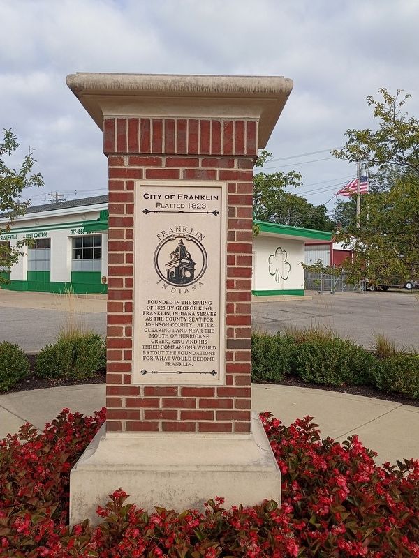
Photographed by Craig Doda, September 6, 2026
2. City of Franklin Marker
Credits. This page was last revised on October 19, 2026. It was originally submitted on October 16, 2026, by Craig Doda of Napoleon, Ohio. This page has been viewed 6 times since then. Photos: 1, 2. submitted on October 16, 2026, by Craig Doda of Napoleon, Ohio. • Devry Becker Jones was the editor who published this page.
