Liverpool in Merseyside, England, United Kingdom — Northwestern Europe (the British Isles)
Western Approaches
Photographed by Ian Lefkowitz, September 13, 2026
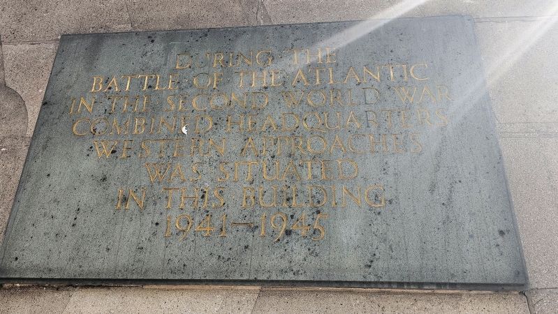
1. Western Approaches Marker
Battle of the Atlantic
in the Second World War
Combined Headquarters
Western Approaches
was situated
in this building
1941–1945
Topics. This memorial is listed in this topic list: War, World II.
Location. 53° 24.458′ N, 2° 59.607′ W. Memorial is in Liverpool, England, in Merseyside. It is at the intersection of Rumford Street and Chapel Street, on the left when traveling south on Rumford Street. Touch for map. Memorial is at or near this postal address: 1-3 Rumford Street, Liverpool, England L2 8SZ, United Kingdom. Touch for directions.

Regionally, this memorial is in North West England. Globally, it is on the Atlantic Ocean, in the North Atlantic Region, in Europe, in Atlantic Europe, on one of the British Isles, in the Western World, and in the Anglosphere. Historically, it finds itself in what was once the Roman Empire.
Other nearby markers. At least 8 other markers are within walking distance of this marker: Hargreaves Building (within shouting distance of this marker); Chapel Street (within shouting distance of this marker); The Liverpool Cotton Association War Memorial
this page online
Also see . . . About Western Approaches.
The primary aim of Western Approaches Command was ‘the safe and timely arrival of the convoys’ and it worked tirelessly against the threat from German U-boats, aircraft and surface warships as well as the harsh sea and weather conditions of the North Atlantic, to achieve that.(Submitted on October 16, 2026, by Ian Lefkowitz of New York, New York.)
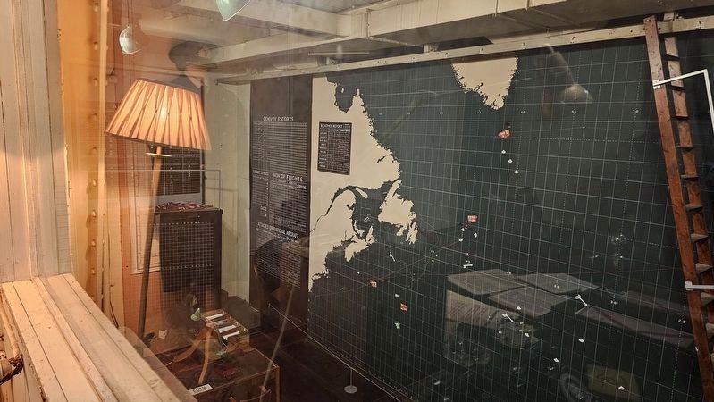
At the heart of the headquarters was the two storey Operations Room, dominated by a large wall map showing positions of ships, aircraft and U-boats across the vast expanse of the North Atlantic. It was here that every movement was plotted, decisions made and orders prepared to defend the convoys and attack the U-boats.
Additional keywords. plaque
Photographed by Ian Lefkowitz, September 13, 2026
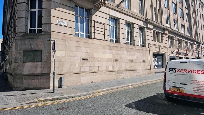
2. Western Approaches Marker
The plaque is located at the corner of Chapel Street and Rumford Street. The entrance to Western Approaches is further down Rumford Street.
Photographed by Ian Lefkowitz, September 13, 2026
3. Western Approaches Operations Room
Inside Western Approaches, the hidden World War II bunker.
Credits. This page was last revised on November 4, 2026. It was originally submitted on October 16, 2026, by Ian Lefkowitz of New York, New York. This page has been viewed 11 times since then. Photos: 1, 2, 3. submitted on October 16, 2026, by Ian Lefkowitz of New York, New York. • Andrew Ruppenstein was the editor who published this page.
