Colchester in Essex, England, United Kingdom — Northwestern Europe (the British Isles)
East Gate
| — | Colchester Roman Wall Walk | — |
Photographed by Ray Gurganus, April 17, 2026
1. East Gate Marker
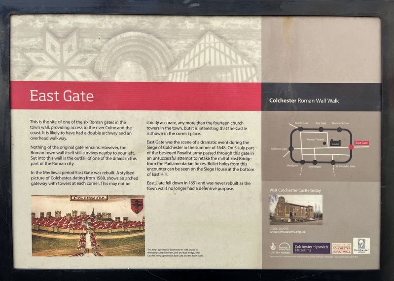
Nothing of the original gate remains. However, the Roman town wall itself still survives nearby to your left. Set into this wall is the outfall of one of the drains in this part of the Roman city.
In the Medieval period East Gate was rebuilt. A stylised picture of Colchester, dating from 1588, shows an arched gateway with towers at each corner. This may not be strictly accurate, any more than the fourteen church towers in the town, but it is interesting that the Castle is shown in the correct place.
East Gate was the scene of a dramatic event during the Siege of Colchester in the summer of 1648. On 5 July part of the besieged Royalist army passed through this gate in an unsuccessful attempt to retake the mill at East Bridge from the Parliamentarian forces. Bullet holes from this encounter can be seen on the Siege House at the bottom of East Hill.
East Gate fell down in 1651 and was never rebuilt as the town walls no longer had a
this page online
Erected by Friends of Colchester Roman Wall.
Topics. This historical marker is listed in this topic list: Forts and Castles. A significant historical year for this entry is 1588.
Location. 51° 53.394′ N, 0° 54.462′ E. Marker is in Colchester, England, in Essex. It is at the intersection of East Hill and St James Rise, on the right when traveling east on East Hill. Touch for map. Marker is at or near this postal address: 89 St James' Rise, Colchester, England CO1 2GD, United Kingdom. Touch for directions.

Regionally, this marker is in the Greater South East. Globally, it is on the Atlantic Ocean, in the North Atlantic Region, in Europe, in Atlantic Europe, on one of the British Isles, in the Western World, and in the Anglosphere. Historically, it finds itself in what was once the Roman Empire.
Other nearby markers. At least 8 other markers are within walking distance of this marker: Castle - East Wall (approx. 0.3 kilometers away); Essex Witch Hunts (approx. 0.3 kilometers away); Forebuilding and Chapel (approx. 0.3 kilometers away); Priory Street Bastion 5 (approx. 0.3 kilometers away); Main Entrance (approx. 0.3 kilometers away); Castle - North Side (approx. 0.4 kilometers away); St Botolph's Priory (approx. 0.4 kilometers away); a different marker also named St Botolph's Priory (approx. 0.4 kilometers away). Touch for a list and map of all markers in Colchester.
Credits. This page was last revised on November 3, 2026. It was originally submitted on October 17, 2026, by Ray Gurganus of Washington, District of Columbia. This page has been viewed 5 times since then. Photo 1. submitted on October 17, 2026, by Ray Gurganus of Washington, District of Columbia. • Andrew Ruppenstein was the editor who published this page.
Editor’s want-list for this marker. photo of the marker within its surroundings • Can you help?
