Colchester in Essex, England, United Kingdom — Northwestern Europe (the British Isles)
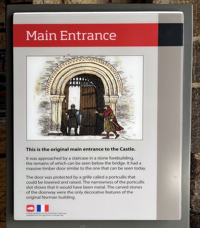
Main Entrance
Photographed by Ray Gurganus, April 17, 2026
1. Main Entrance Marker
It was approached by a staircase in a stone forebuilding, the remains of which can be seen below the bridge. It had a massive timber door similar to the one that can be seen today.
The door was protected by a grille called a portcullis that could be lowered and raised. The narrowness of the portcullis slot shows that it would have been metal. The carved stones of the doorway were the only decorative features of the original Norman building.
Topics. This historical marker is listed in this topic list: Forts and Castles.
Location. 51° 53.42′ N, 0° 54.178′ E. Marker is in Colchester, England, in Essex. It can be reached from Ryegate Road, on the right when traveling north. Touch for map. Marker is at or near this postal address: 8 Ryegate Road, Colchester, England CO1 1TN, United Kingdom. Touch for directions.

Regionally, this marker is in the Greater South East. Globally, it is on the Atlantic Ocean, in the North Atlantic Region, in Europe, in Atlantic Europe, on one of the British Isles, in the Western
this page online
Other nearby markers. At least 8 other markers are within walking distance of this marker: Forebuilding and Chapel (within shouting distance of this marker); Essex Witch Hunts (within shouting distance of this marker); Castle - East Wall (within shouting distance of this marker); Castle - North Side (within shouting distance of this marker); Priory Street Bastion 5 (approx. 0.3 kilometers away); East Gate (approx. 0.3 kilometers away); St Botolph's Churchyard (approx. 0.4 kilometers away); St Botolph's Priory (approx. 0.4 kilometers away). Touch for a list and map of all markers in Colchester.
Photographed by Ray Gurganus, April 17, 2026
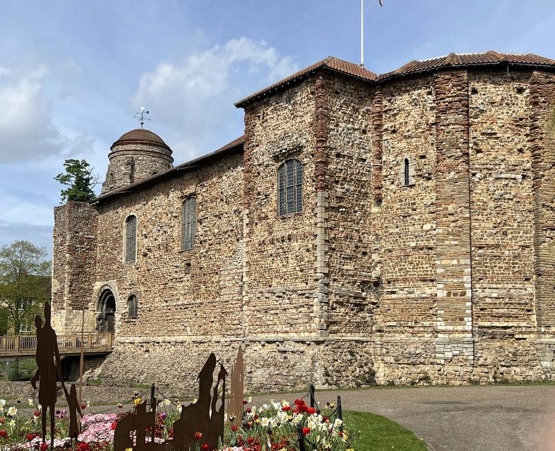
2. Colchester Castle
Credits. This page was last revised on November 3, 2026. It was originally submitted on October 17, 2026, by Ray Gurganus of Washington, District of Columbia. This page has been viewed 5 times since then. Photos: 1, 2. submitted on October 17, 2026, by Ray Gurganus of Washington, District of Columbia. • Andrew Ruppenstein was the editor who published this page.
