Colchester in Essex, England, United Kingdom — Northwestern Europe (the British Isles)
Castle - North Side
Photographed by Ray Gurganus, April 17, 2026
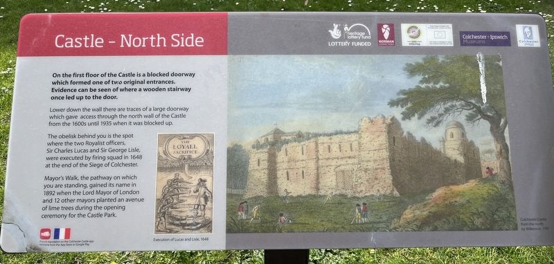
1. Castle - North Side Marker
Lower down the wall there are traces of a large doorway which gave access through the north wall of the Castle from the 1600s until 1935 when it was blocked up.
The obelisk behind you is the spot where the two Royalist officers, Sir Charles Lucas and Sir George Lisle, were executed by firing squad in 1648 at the end of the Siege of Colchester.
Mayor's Walk, the pathway on which you are standing, gained its name in 1892 when the Lord Mayor of London and 12 other mayors planted an avenue of lime trees during the opening ceremony for the Castle Park.
Topics. This historical marker is listed in this topic list: Forts and Castles.
Location. 51° 53.456′ N, 0° 54.177′ E. Marker is in Colchester, England, in Essex. It is on Mayors Walk. Touch for map. Marker is at or near this postal address: 8 Mayors Walk, Colchester, England CO1 1TH, United Kingdom. Touch for directions.

Regionally, this marker
this page online
Other nearby markers. At least 8 other markers are within walking distance of this marker: Castle - East Wall (within shouting distance of this marker); Main Entrance (within shouting distance of this marker); Forebuilding and Chapel (about 90 meters away, measured in a direct line); Essex Witch Hunts (about 90 meters away); East Gate (approx. 0.4 kilometers away); Priory Street Bastion 5 (approx. 0.4 kilometers away); St Botolph's Churchyard (approx. 0.4 kilometers away); St Botolph's Priory (approx. 0.4 kilometers away). Touch for a list and map of all markers in Colchester.
Photographed by Ray Gurganus, April 17, 2026
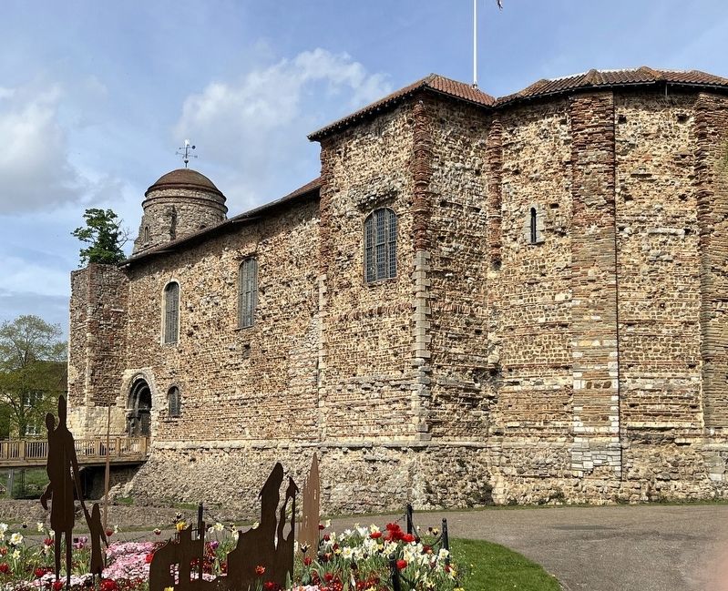
2. Colchester Castle
Credits. This page was last revised on November 3, 2026. It was originally submitted on October 17, 2026, by Ray Gurganus of Washington, District of Columbia. This page has been viewed 6 times since then. Photos: 1, 2. submitted on October 17, 2026, by Ray Gurganus of Washington, District of Columbia. • Andrew Ruppenstein was the editor who published this page.
