Palmerston in Minto in Wellington County, Ontario — Central Canada (North America)
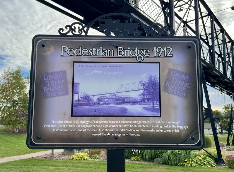
Pedestrian Bridge 1912
Photographed by Tim Boyd, September 25, 2026
1. Pedestrian Bridge 1912 Marker
Topics. This historical marker is listed in these topic lists: Bridges & Viaducts • Railroads & Streetcars. A significant historical year for this entry is 1912.
Location. 43° 49.927′ N, 80° 50.848′ W. Marker is in Minto, Ontario, in Wellington County. It is in Palmerston. It is at the intersection of Queen Street North and Prospect Street, on the left when traveling south on Queen Street North. The marker is in Lions Heritage Park, approx. 40 metres from the end of Queen Street North. Touch for map. Marker is at or near this postal address: 330 Prospect Street, Minto ON N0G 2P0, Canada. Touch for directions.

Regionally, this marker is in the Huron-Perth-Waterloo-Wellington Area and in Southwestern Ontario. It is also in Central Canada. Globally, it is in North America,
this page online
Other nearby markers. At least 8 other markers are within walking distance of this marker: The Roundhouse (within shouting distance of this marker); Turntable (within shouting distance of this marker); Railway Yard 1890 (about 90 meters away, measured in a direct line); A Glimpse of Palmerston (about 90 meters away); Water Tower Circa 1940 (about 90 meters away); The Rail Yard Circa 1955 (about 90 meters away); Great Western Railway Station (about 90 meters away); Grand Trunk Railway Station (about 90 meters away). Touch for a list and map of all markers in Minto.
Photographed by Tim Boyd, September 25, 2026
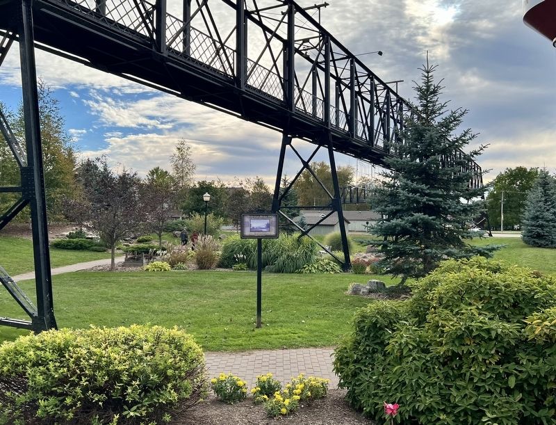
2. Pedestrian Bridge 1912 Marker
Photographed by Tim Boyd, September 25, 2026
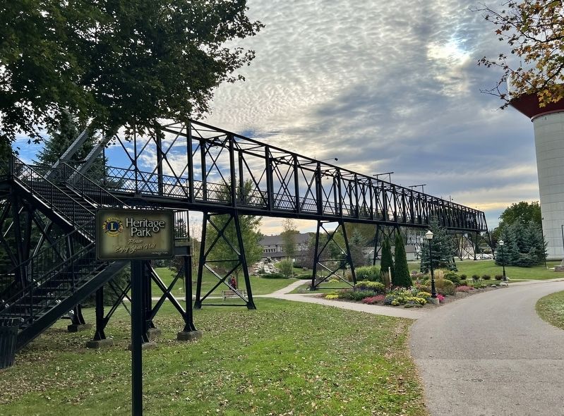
3. Pedestrian Bridge in 2026
Credits. This page was last revised on October 19, 2026. It was originally submitted on October 18, 2026, by Tim Boyd of Hamilton, Ontario. This page has been viewed 11 times since then. Photos: 1, 2, 3. submitted on October 18, 2026, by Tim Boyd of Hamilton, Ontario. • Andrew Ruppenstein was the editor who published this page.
