Near Great Falls in Cascade County, Montana — The American West (Mountains)
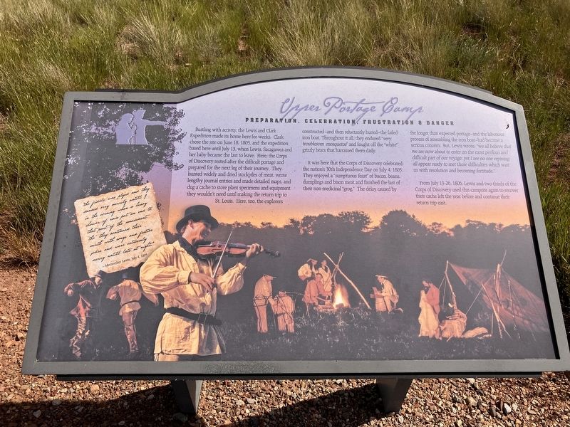
Upper Portage Camp
Preparation, Celebration, Frustration
Photographed by Barry Swackhamer, June 23, 2026
1. Upper Portage Camp Marker
It was here that the Corps of Discovery celebrated the nation's 30th Independence Day on July 4, 1805. The enjoyed a "sumptuous feast" of bacon, beans, dumplings and bison meat and finished the last of their non-medicinal "grog." The delay caused by the longer than expected portage-and the laborious process of assembling the iron boat-had become a serious concern.
this page online
From July 13-26, 1806, Lewis and two-thirds of the Corps of Discovery used this campsite again to recover their cache left the year before and continue their return trip east.
"the fiddle was played and they danced very merrily untill 9 in the evening when a heavy shower of rain put an end to that party of the amusement tho' they continued their mirth with songs and festive jokes and were extreemly merry untill late at night
Meriwether Lewis, July 4, 1805
Erected by Montana State University, Bozeman; U.S. Dept. of the Interior; Montana Stock Growers Association.
Topics. This historical marker is listed in these topic lists: Animals • Entertainment • Exploration • Food & Drink. A significant historical date for this entry is July 4, 1805.
Location. 47° 27.864′ N, 111° 17.618′ W. Marker is near Great Falls, Montana, in Cascade County. It can be reached from 40th Avenue South near
Photographed by Barry Swackhamer, June 23, 2026
2. Upper Portage Camp Marker

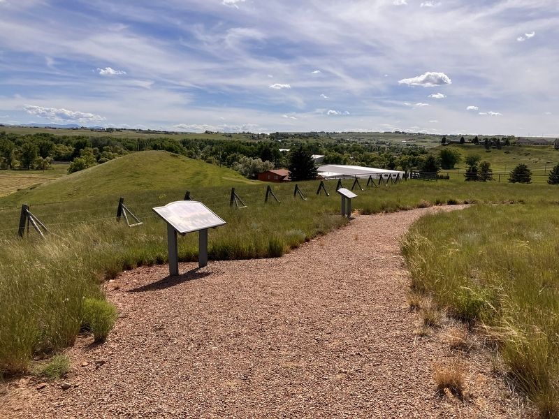
Regionally, this marker is in andspecifically entral Montana in Russell Country. It is also in the American Mountain West and in the Lewis & Clark Corridor. Globally, it is in North America, the Rocky Mountains, the Western Hemisphere, the Western World, and the Anglosphere. Historically, it finds itself in what was once Rupert’s Land and also the Louisiana Purchase.
Other nearby markers. At least 8 other markers are within 2 miles of this marker, measured as the crow flies: The Portage Route (a few steps from this marker); Welcome to the Upper Portage Overlook (a few steps from this marker); Lewis's Grand Experiment (a few steps from this marker); White Bear Islands (within shouting distance of this marker); Commissary of the Plains (approx. 2 miles away); The Falls: Obstacle or Opportunity (approx. 2 miles away); The Portage Around the Falls (approx. 2 miles away); Explorers at the Portage (approx. 2 miles away). Touch for a list and map of all markers in Great Falls.
Credits. This page was last revised on October 18, 2026. It was originally submitted on October 18, 2026, by Barry Swackhamer of Brentwood, California. This page has been viewed 7 times since then. Photos: 1, 2. submitted on October 18, 2026, by Barry Swackhamer of Brentwood, California.
