Santa Barbara in Santa Barbara County, California — The American West (Pacific Coastal)
United States Marine Corps Aviation Memorial
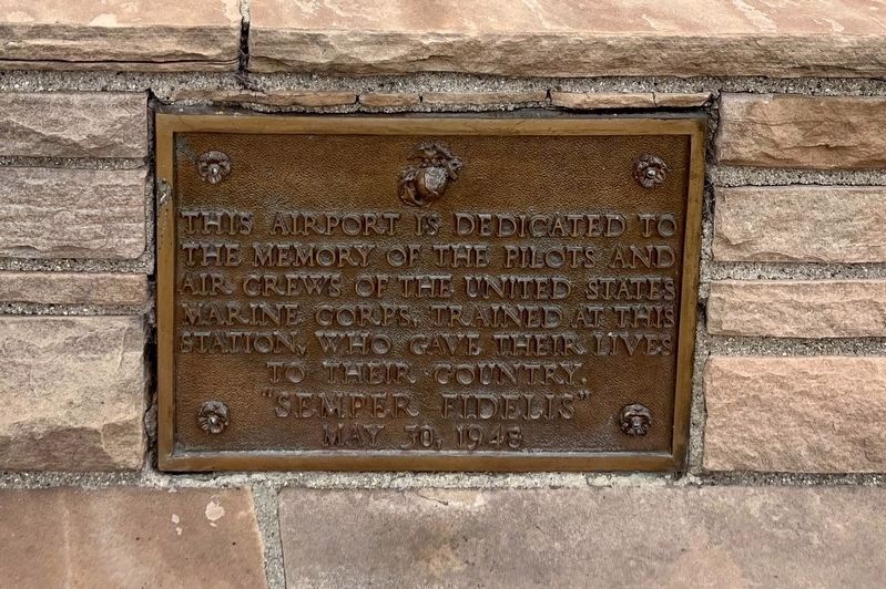
Photographed by Adam Margolis, June 4, 2026
1. United States Marine Corps Aviation Memorial
"Semper Fidelis"
May 30, 1948
Erected 1948.
Topics. This memorial is listed in these topic lists: Air & Space • War, World II.
Location. 34° 26.018′ N, 119° 50.193′ W. Memorial is in Santa Barbara, California, in Santa Barbara County. It is on Firestone Road, on the right when traveling east. Thd memorial is located on the grounds of the Santa Barbara Airport. Touch for map. Memorial is at or near this postal address: 601 Firestone Road, Goleta CA 93117, United States of America. Touch for directions.

Regionally, this memorial is on the Central Coast, specifically on the Coast Ranges, and specifically in the Transverse Ranges. It is also on the American Pacific Coast. Globally, it is in North America, on the Ring of Fire, on the Pacific Rim, in the Western Hemisphere, in the Western World, and in the Anglosphere. Historically, it finds itself in what was once New Spain and also
this page online
Other nearby markers. At least 8 other markers are within 4 miles of this marker, measured as the crow flies: Earle Ovington Terminal (approx. 0.6 miles away); Ovington's Hangar (approx. 0.6 miles away); Goleta Depot (approx. 1.1 miles away); Sexton House (approx. 1.2 miles away); Cathedral Oaks Schoolhouse (approx. 2.6 miles away); Barnsdall-Rio Grande Gas Station and Restaurant (approx. 3.7 miles away); Hope House (approx. 3.8 miles away); Japanese Attack (approx. 4 miles away).
Also see . . . Marine Corps Air Station, Santa Barbara (California Military History Online). (Submitted on October 19, 2026.)
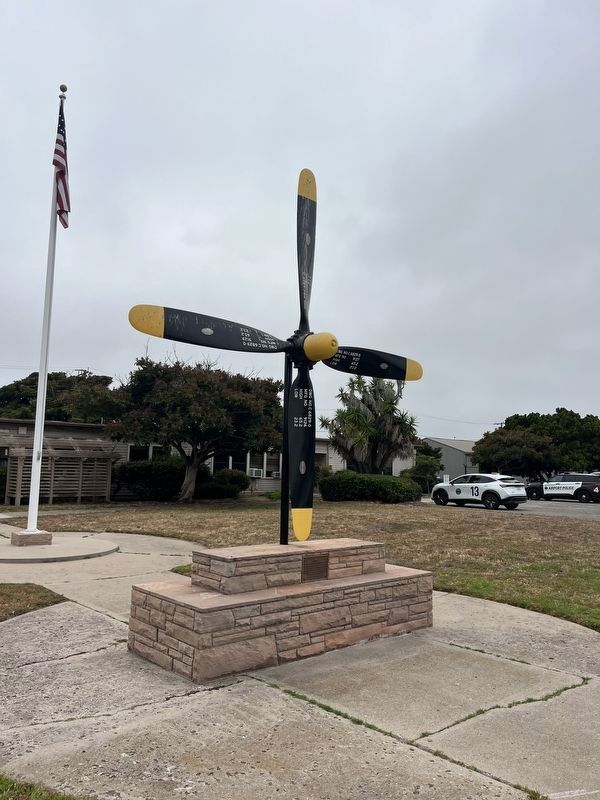
Photographed by Adam Margolis, June 4, 2026
2. United States Marine Corps Aviation Memorial
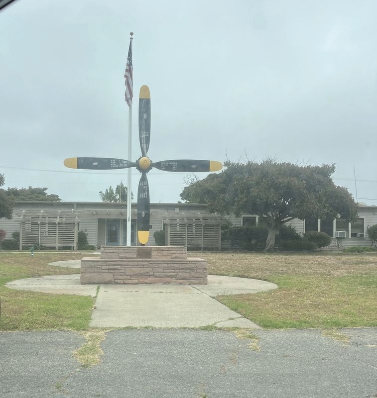
Photographed by Adam Margolis, June 4, 2026
3. United States Marine Corps Aviation Memorial
Credits. This page was last revised on October 19, 2026. It was originally submitted on October 18, 2026, by Adam Margolis of Mission Viejo, California. This page has been viewed 9 times since then. Photos: 1, 2, 3. submitted on October 18, 2026, by Adam Margolis of Mission Viejo, California. • Andrew Ruppenstein was the editor who published this page.
