Near Darlington in Montgomery County, Indiana — The American Midwest (Great Lakes)
Darlington Covered Bridge
Indiana Historical Bureau
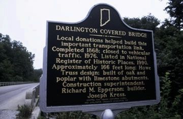
1. Darlington Covered Bridge Marker
Local donations helped build this important transportation link. Completed 1868; closed to vehicular traffic, 1976. Listed in National Register of Historic Places, 1990. Approximately 166 feet long; Howe Truss design; built of oak and poplar with limestone abutments. Construction superintendent, Richard M. Epperson; builder, Joseph Kress.
Erected 1993 by Indiana Historical Bureau and Darlington Community Association Inc. (Marker Number 54.1993.1.)
Topics and series. This historical marker is listed in this topic list: Bridges & Viaducts. In addition, it is included in the Covered Bridges series list. A significant historical year for this entry is 1868.
Location. 40° 6.463′ N, 86° 47.608′ W. Marker is near Darlington, Indiana, in Montgomery County. It is at the intersection of County Road E 500N and County Road N 575E, on the right when traveling east on County Road E 500N. Marker was located at the southwest corner of the County Road E 500N bridge over Sugar Creek. Touch for map. Marker is at or near this postal address: 4672 N 575 E, Crawfordsville IN 47933, United States of America. Touch for directions.

Regionally,
this page online
Other nearby markers. At least 8 other markers are within 8 miles of this marker, measured as the crow flies: Major General Lew Wallace (approx. 7.1 miles away); Federal Land Office (approx. 7.1 miles away); The Elston Homestead (approx. 7.2 miles away); Otto Schlemmer Building (approx. 7.2 miles away); Elston Memorial Home (approx. 7.2 miles away); "Howdy" Wilcox (approx. 7.2 miles away); Montgomery County Rotary Jail (approx. 7.2 miles away); Henry S. Lane (approx. 7.3 miles away).
Another marker is no longer nearby. Lane Place (was approx. 7.3 miles away but has been replaced with another marker now near it).
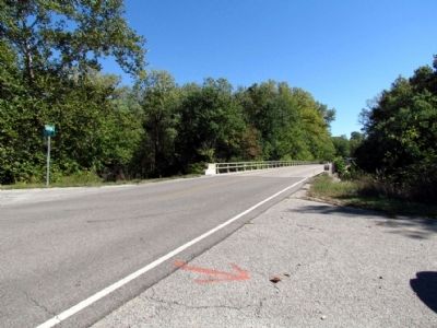
More about this marker. According to the Indiana Historical Bureau in October 2013, the marker and support post were damaged by an automobile accident a few years ago and are in storage. The
Photographed by Duane Hall, October 9, 2013
2. Location of Missing Marker
Also see . . . Darlington Covered Bridge. From the Darlington, Indiana website. (Submitted on April 23, 2015, by Duane Hall of Abilene, Texas.)
Photographed by Duane Hall, October 9, 2013
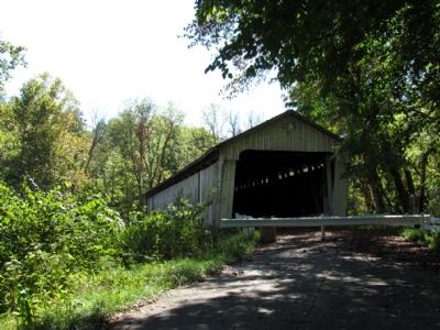
3. Darlington Covered Bridge
Photographed by Duane Hall, October 9, 2013
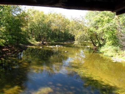
4. Sugar Creek
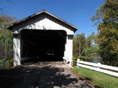
Photographed by Duane Hall, October 9, 2013
5. Darlington Covered Bridge
County Road E 500N bridge over Sugar Creek in the background
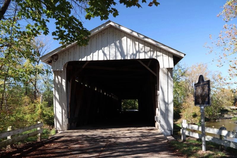
Photographed by Trevor L Whited, October 18, 2026
6. Darlington Covered Bridge Marker
Marker now sits just right of the bridge
Credits. This page was last revised on October 20, 2026. It was originally submitted on October 16, 2013, by Duane Hall of Abilene, Texas. This page has been viewed 936 times since then and 55 times this year. Last updated on October 19, 2026, by Trevor L Whited of Kokomo, Indiana. Photos: 1, 2, 3, 4, 5. submitted on October 16, 2013, by Duane Hall of Abilene, Texas. 6. submitted on October 20, 2026, by Trevor L Whited of Kokomo, Indiana. • Devry Becker Jones was the editor who published this page.
Editor’s want-list for this marker. A link to the nomination form, citing the bridge's historical significance. • Photos of the marker in its current location. • Can you help?
