Chelmsford in Essex, England, United Kingdom — Northwestern Europe (the British Isles)
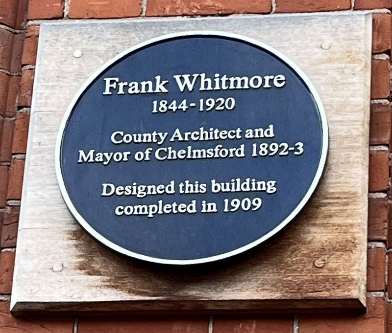
Frank Whitmore
1844-1920
Photographed by Ray Gurganus, April 16, 2026
1. Frank Whitmore Marker
County Architect and Mayor of Chelmsford 1892-3.
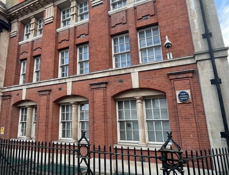
Designed this building completed in 1909
Topics. This historical marker is listed in this topic list: Architecture. A significant historical year for this entry is 1909.
Location. 51° 44.115′ N, 0° 28.246′ E. Marker is in Chelmsford, England, in Essex. It is on Duke Street east of Victoria Road S, on the right when traveling south. Touch for map. Marker is in this post office area: Chelmsford, England CM1 1NX, United Kingdom. Touch for directions.

Regionally, this marker is in the Greater South East. Globally, it is on the Atlantic Ocean, in the North Atlantic Region, in Europe, in Atlantic Europe, on one of the British Isles, in the Western World, and in the Anglosphere. Historically, it finds itself in what was once the Roman Empire.
Other nearby markers. At least 8 other markers are within walking distance of this marker: Frederic Chancellor (about 120 meters away, measured in a direct line); Nicolas Conyngham Tindal (about 150 meters away); John Johnson (about 150 meters away); Joanna Constantinidis (about 150 meters away); Frederick Herbert Hunt (about
this page online
Also see . . . Frank Whitmore (Architect) (Chelmsford City Council). Excerpt:
Frank Whitmore was an influential architect in Essex in the late 19th Century and early 20th Century.(Submitted on November 1, 2026.)
He was a proficient designer of domestic and public buildings and was responsible for Chelmsford's Central Park and other important buildings around the County and in Chelmsford town centre. Common to most of Whitmore’s buildings, is fine brick and stone detailing.
He worked on several police stations, the most accomplished of which is in New Street, Chelmsford (1903-4) which was built at the same time as the Shire Hall east wing. Connecting the two is a tunnel under New Street, which was used to transport visitors from the prison cells into the court house.
The oldest part of the County Hall complex, known as D Block, where this blue plaque is installed, was also Whitmore’s work (1909).
Additional keywords. plaque
Photographed by Ray Gurganus, April 16, 2026
2. Frank Whitmore Marker
Credits. This page was last revised on November 1, 2026. It was originally submitted on October 19, 2026, by Ray Gurganus of Washington, District of Columbia. This page has been viewed 11 times since then. Photos: 1, 2. submitted on October 19, 2026, by Ray Gurganus of Washington, District of Columbia. • Andrew Ruppenstein was the editor who published this page.
