Indian River in Washington County, Maine — The American Northeast (New England)
Mill Delight
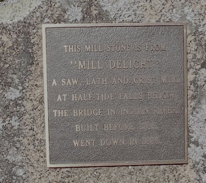
Photographed by Steve Stoessel
1. Mill Delight Marker
Topics. This historical marker is listed in this topic list: Industry & Commerce. A significant historical year for this entry is 1785.
Location. 44° 34.382′ N, 67° 38.578′ W. Marker is in Indian River, Maine, in Washington County. It is on Indian River Road (Maine Route 187) 0.1 miles north of Crowley Island Road, on the right when traveling north. Touch for map. Marker is at or near this postal address: 1423 Indian River Rd, Addison ME 04606, United States of America. Touch for directions.

Regionally, this marker is in Downeast Maine. It is also in the American Northeast, in New England, and on the Eastern Seaboard. Globally, it is in the North Atlantic Region, North America, the Great North Woods, the Western Hemisphere, the Western World, and the Anglosphere. Historically, it finds itself in what was once the Viceroyalty of New France and also Acadia.
Other nearby markers. At least 8 other markers are within 7 miles of this marker, measured as the
this page online
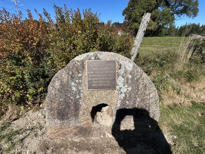
Photographed by Steve Stoessel, October 6, 2026
2. Mill Delight Marker
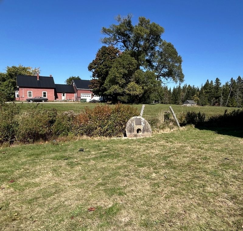
Photographed by Steve Stoessel, October 6, 2026
3. Mill Delight Marker
Credits. This page was last revised on October 20, 2026. It was originally submitted on October 20, 2026, by Steve Stoessel of Niskayuna, New York. This page has been viewed 8 times since then. Photos: 1, 2, 3. submitted on October 20, 2026, by Steve Stoessel of Niskayuna, New York.
