Wymondham in Norfolk, England, United Kingdom — Northwestern Europe (the British Isles)
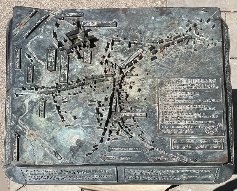
Wymondham
and its Abbey, around 1530 A.D.
Photographed by Ray Gurganus, April 22, 2026
1. Wymondham Marker
1. Surviving Parish Church (Wymondham Abbey)
2. Abbey Church
3. Cloister and monastic buildings
4. Outbuildings and gardens
5. Gatehouse
6. Walled Abbey grounds, extending by Lady's Lane
7. Tanneries
8. Mill pool and water mill straddling river
9. Abbey fish-ponds at Tifford Bridge (off map)
10. Becket's Chapel
11. Market Cross (as re-built 1617-18)
12 The Game Place (pageants and mystery plays)
13 The Fairland
14 Brickyards (site of the Bridewell from 1619)
Commissioned to mark the 900th anniversary of the founding of Wymondham Abbey by William D'Albini in 1107.
Principally funded by the East of England Development Agency and Action for Market Towns.
Erected by Wymondham Community Partnership.
Topics. This historical marker is listed in this topic list: Religion & Religious Structures. A significant historical year for this entry is 1107.
Location. 52° 34.204′ N, 1° 6.795′ E. Marker is in Wymondham, England, in Norfolk. It is on Market Place, on the right when traveling north. Touch for map. Marker is at or near this postal address: 14 Market Place, Wymondham, England NR18 0AX, United Kingdom.
this page online

Regionally, this marker is in East Anglia. Globally, it is on the Atlantic Ocean, in the North Atlantic Region, in Europe, in Atlantic Europe, on one of the British Isles, in the Western World, and in the Anglosphere. Historically, it finds itself in what was once the Roman Empire.
Other nearby markers. At least 8 other markers are within walking distance of this marker: Market Cross (here, next to this marker); Robert and William Kett (about 210 meters away, measured in a direct line); The Green Dragon Inn (about 240 meters away); Wymondham Abbey, South Side (approx. 0.3 kilometers away); a different marker also named Wymondham Abbey (approx. 0.4 kilometers away); Aromatic Herbs (approx. 0.4 kilometers away); Medicinal Herbs (approx. 0.4 kilometers away); Wymondham Abbey, North Side (approx. 0.4 kilometers away). Touch for a list and map of all markers in Wymondham.
Additional keywords. 3D
Photographed by Ray Gurganus, April 22, 2026
2. Wymondham Marker
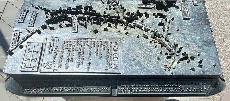
Information on this fabric of the town before the Great Fire of 1615 is sketchy; much of what is shown is conjectural.
The width of the streets and the vertical scale of the hill on which the town sits have been exaggerated for clarity.
The width of the streets and the vertical scale of the hill on which the town sits have been exaggerated for clarity.
Photographed by Ray Gurganus, April 22, 2026
3. Wymondham Marker
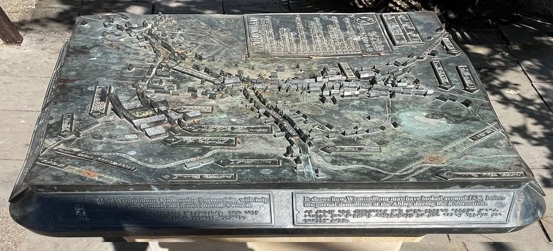
Commissioned by Wymondham Community Partnership, with help from Wymondham Town Council and South Norfolk Council.
It shows how Wymondham may have looked around 1530, before the partial demolition of the Abbey during the Reformation.
It shows how Wymondham may have looked around 1530, before the partial demolition of the Abbey during the Reformation.
Photographed by Ray Gurganus, April 22, 2026
4. Wymondham Marker
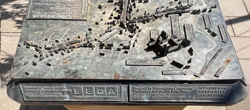
Modelled by Omega Models, Casting by Powdershall Bronze.
Designed by Wymondham Community Partnership and the Dog Rose Trust.
Designed by Wymondham Community Partnership and the Dog Rose Trust.
Credits. This page was last revised on November 1, 2026. It was originally submitted on October 20, 2026, by Ray Gurganus of Washington, District of Columbia. This page has been viewed 11 times since then. Photos: 1, 2, 3, 4. submitted on October 20, 2026, by Ray Gurganus of Washington, District of Columbia. • Andrew Ruppenstein was the editor who published this page.
Editor’s want-list for this marker. photo of the marker within its surroundings • Can you help?
