Thetford in Norfolk, England, United Kingdom — Northwestern Europe (the British Isles)
The Refectory
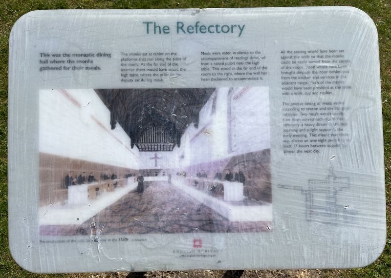
Photographed by Ray Gurganus, April 24, 2026
1. The Refectory Marker
The monks sat at tables on the platforms that run along the sides of the room. At the far end of the interior there would have stood the high table, where the prior his deputy sat during meals.
Meals were eaten in silence to the accompaniment of readings delivered from a raised pulpit near the high table. This stood at the far end of the room to the right, where the wall has been thickened to accommodate it.
All the seating would have been set against the walls so that the monks could be easily served from the centre of the room. Food would have been brought through the door behind you from the kitchen and services in the adjacent range. Each of the monks would have been provided at the table with a knife, cup and napkin.
The precise timing of meals varied according to season and the liturgical calendar. Two meals would usually have been served each day in this refectory: a heavy dinner in the late morning and a light supper in the early evening. This meant that there was always an overnight period at least 17 hours between supper and
this page online
Erected by English Heritage.
Topics. This historical marker is listed in these topic lists: Food & Drink • Religion & Religious Structures.
Location. 52° 24.979′ N, 0° 44.527′ E. Marker is in Thetford, England, in Norfolk. It can be reached from Abbeygate. On the grounds of Thetford Priory. Touch for map. Marker is at or near this postal address: 13 Abbeygate, Thetford, England IP24 1DA, United Kingdom. Touch for directions.

Regionally, this marker is in East Anglia. Globally, it is on the Atlantic Ocean, in the North Atlantic Region, in Europe, in Atlantic Europe, on one of the British Isles, in the Western World, and in the Anglosphere. Historically, it finds itself in what was once the Roman Empire.
Other nearby markers. At least 8 other markers are within walking distance of this marker: The Prior's Lodging (within shouting distance of this marker); Thetford Priory - The Church and Nave (within shouting distance of this marker); The Abbey before the Dissolution (within shouting distance of this marker); Thetford Priory (about 90
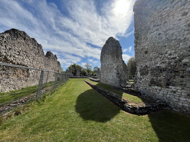
Photographed by Ray Gurganus, April 24, 2026
2. Thetford Priory Ruins
Credits. This page was last revised on October 21, 2026. It was originally submitted on October 20, 2026, by Ray Gurganus of Washington, District of Columbia. This page has been viewed 6 times since then. Photos: 1, 2. submitted on October 20, 2026, by Ray Gurganus of Washington, District of Columbia. • Andrew Ruppenstein was the editor who published this page.
