Encampment in Carbon County, Wyoming — The American West (Mountains)
E & H Building
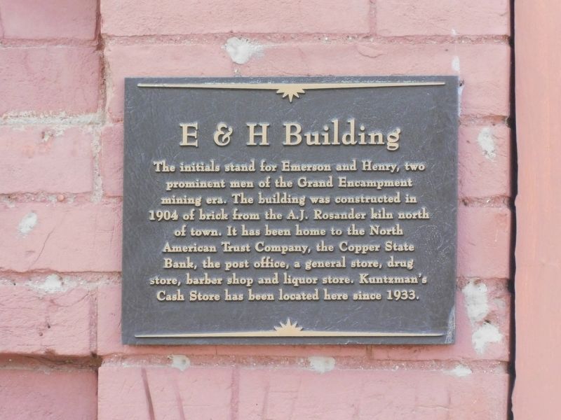
Photographed by Jimmy Emerson, September 5, 2025
1. E & H Building Marker
Topics. This historical marker is listed in these topic lists: Communications • Industry & Commerce. A significant historical year for this entry is 1904.
Location. 41° 12.423′ N, 106° 47.589′ W. Marker is in Encampment, Wyoming, in Carbon County. It is at the intersection of Freeman Avenue and 6th Street (Wyoming Route 70), on the left when traveling north on Freeman Avenue. Touch for map. Marker is at or near this postal address: 702 Freeman Avenue, Encampment WY 82325, United States of America. Touch for directions.

Regionally, this marker is in the Westward Expansion Trails Region. It is also in the American Mountain West. Globally, it is in North America, the Rocky Mountains, the Western Hemisphere, the Western
this page online
Other nearby markers. At least 3 other markers are within 11 miles of this marker, measured as the crow flies: The Willis House (about 600 feet away, measured in a direct line); Encampment, Wyoming (approx. 0.4 miles away); The Sierra Madre Range (approx. 10.4 miles away).
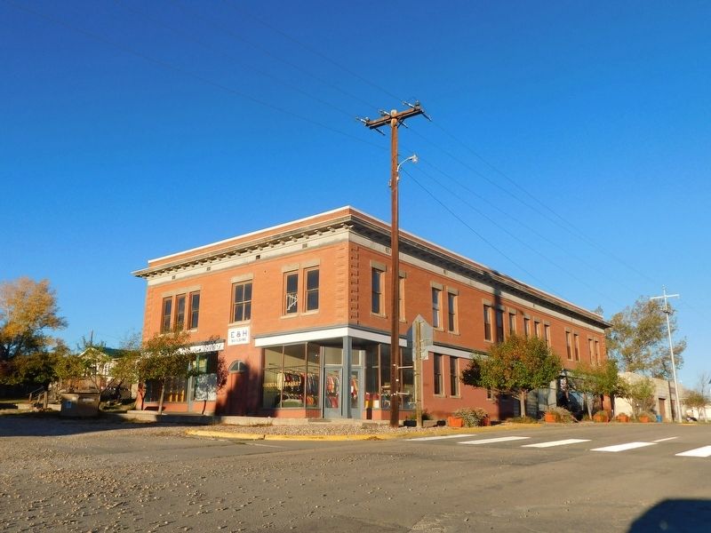
Photographed by Jimmy Emerson, October 17, 2026
2. E & H Building & Marker
The marker is on the wall to the left of the door under the "E & H", in the shadow of the tree.
Credits. This page was last revised on October 21, 2026. It was originally submitted on October 20, 2026, by Jimmy Emerson of Dalton, Georgia. This page has been viewed 5 times since then. Photos: 1, 2. submitted on October 20, 2026, by Jimmy Emerson of Dalton, Georgia. • Andrew Ruppenstein was the editor who published this page.
