Fort Bliss in El Paso County, Texas — The American South (West South Central)
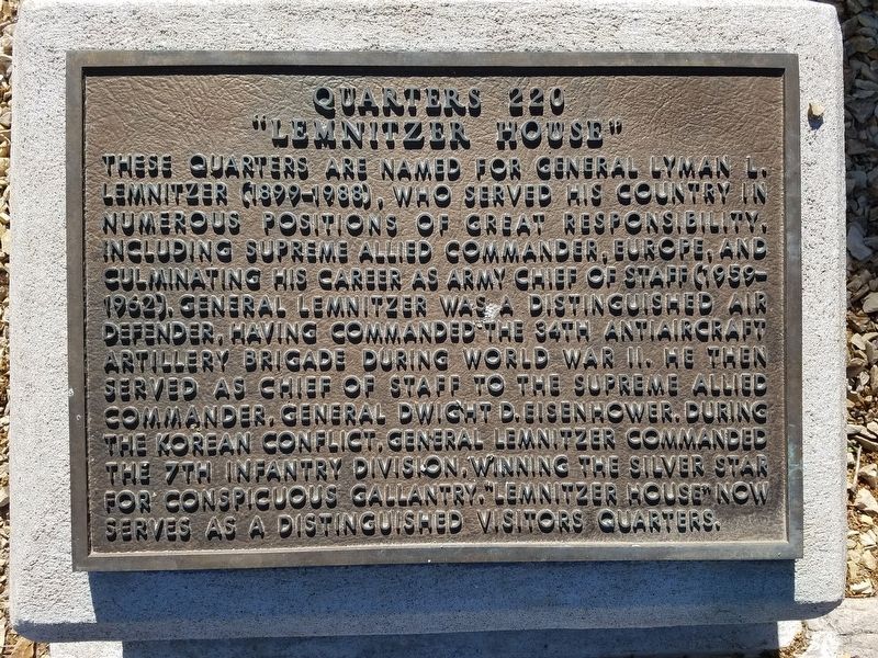
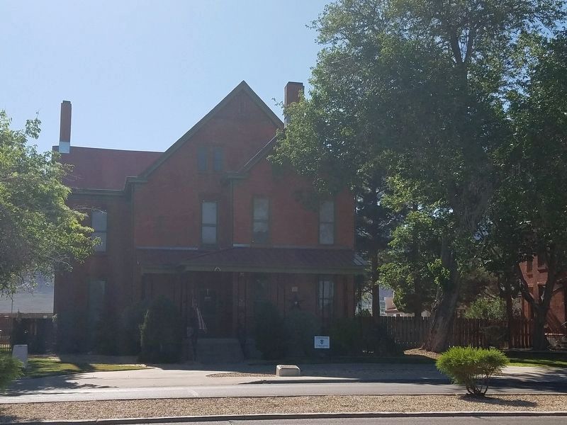
Lemnitzer House
Quarters 220
Photographed by Kevin W., April 13, 2016
1. Lemnitzer House Marker
Erected by Fort Bliss.
Topics. This historical marker is listed in these topic lists: War, Korean • War, World II.
Location. 31° 48.389′ N, 106° 26.254′ W. Marker is in Fort Bliss, Texas, in El Paso County. It is on Sheridan Road just north of Adair Road, on the left when traveling north. Touch for map. Marker is at or near this postal address: 220 Sheridan Rd, El Paso TX 79906, United States of America.
this page online

Regionally, this marker is in the Trans-Pecos. It is also in the American Borderlands and in the Southwest. Globally, it is in North America, a Gulf of Mexico state, the Western Hemisphere, the Western World, and the Anglosphere. Historically, it finds itself in what was once New Spain, the Republic of Texas, and one of the Confederate States of America.
Other nearby markers. At least 8 other markers are within walking distance of this marker: Patton House (within shouting distance of this marker); Polk House (within shouting distance of this marker); Abrams House (about 400 feet away, measured in a direct line); William Wallace Smith Bliss Monument (about 500 feet away); Hinman Hall (about 500 feet away); Quarters 213, Chaparral House (about 600 feet away); Pershing House (about 700 feet away); Colonel George Ruhlen (about 800 feet away). Touch for a list and map of all markers in Fort Bliss.
Photographed by Kevin W., April 13, 2016
2. Lemnitzer House and Marker
Credits. This page was last revised on October 20, 2026. It was originally submitted on October 20, 2026, by Kevin W. of Stafford, Virginia. This page has been viewed 10 times since then. Photos: 1, 2. submitted on October 20, 2026, by Kevin W. of Stafford, Virginia.
