Santa Fe in Santa Fe County, New Mexico — The American Mountains (Southwest)
CCC Worker
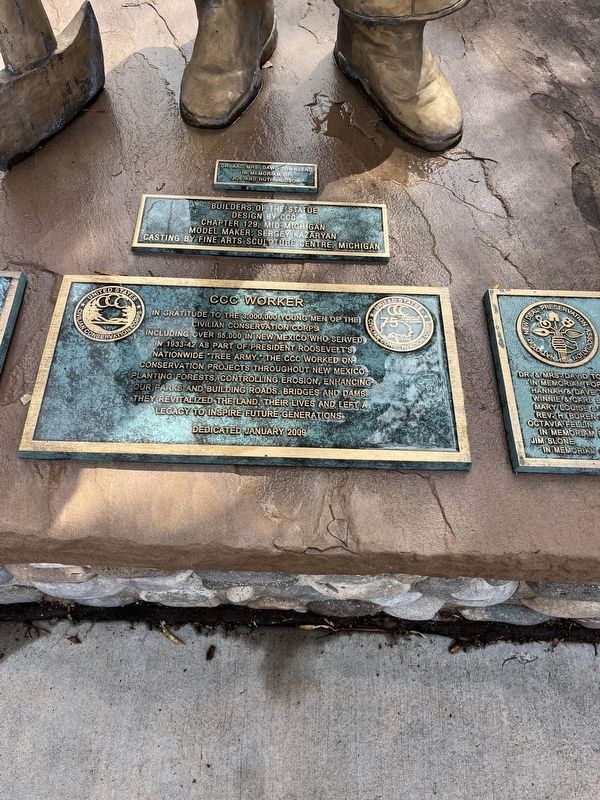
Photographed by Thomas Smith, September 17, 2026
1. CCC Worker Marker
Erected 2009.
Topics and series. This historical marker is listed in this topic list: Charity & Public Work. In addition, it is included in the Civilian Conservation Corps (CCC) series list. A significant historical year for this entry is 1933.
Location. 35° 40.918′ N, 105° 56.298′ W. Marker is in Santa Fe, New Mexico, in Santa Fe County. It can be reached from Old Santa Fe Trail Rd./ Don Gasoar Ave. 0.1 miles north of Passeo De Peralta Street, on the right when traveling south. By New Mexico State Capital. Touch for map. Touch for directions.

Regionally, this marker is in Northern New Mexico. It is also in the American Southwest, in the Mountain West, and on the Santa Fe Trail Corridor.
this page online
Other nearby markers. At least 8 other markers are within walking distance of this marker: Soledad Chávez de Chacón (about 300 feet away, measured in a direct line); The Santa Fe Trail (about 400 feet away); Life on the Trail (about 400 feet away); A Long Haul (about 400 feet away); Lamy Building (about 500 feet away); Welcome to the Pink Adobe (about 600 feet away); San Miguel Church (about 600 feet away); Welcome to San Miguel Church (about 600 feet away). Touch for a list and map of all markers in Santa Fe.
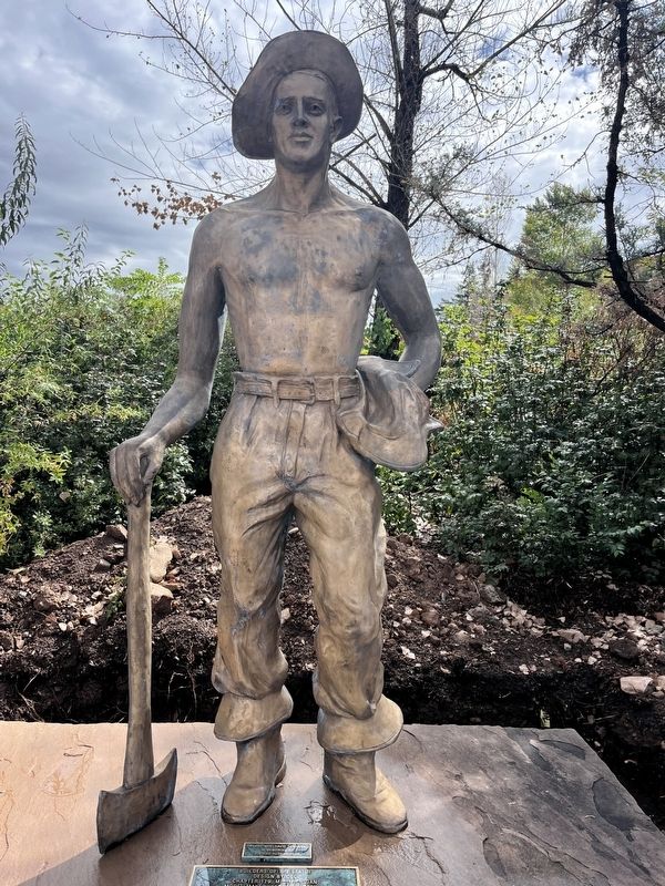
Photographed by Thomas Smith, September 17, 2026
2. CCC Worker Marker
Credits. This page was last revised on November 1, 2026. It was originally submitted on October 21, 2026, by Thomas Smith of Waterloo, Ill. This page has been viewed 9 times since then. Photos: 1, 2. submitted on October 21, 2026, by Thomas Smith of Waterloo, Ill. • Andrew Ruppenstein was the editor who published this page.
