Port Royal in Montgomery County, Tennessee — The American South (East South Central)
The Town of Port Royal
Photographed by Tom Bosse, October 2, 2026
1. The Town of Port Royal Marker
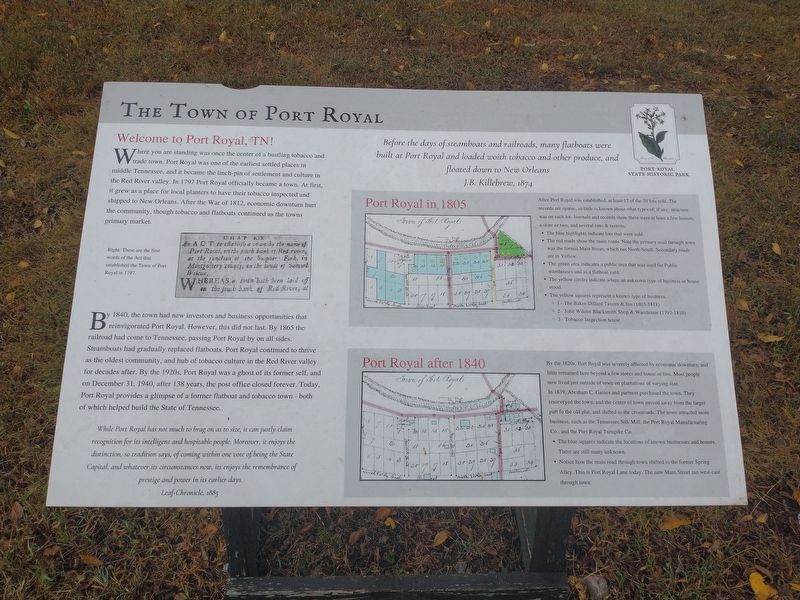
Welcome to Port Royal, TN
Where you are standing was once the center of a bustling tobacco and trade town. Port Royal was one of the earliest settled places in middle Tennessee, and it became the lynch-pin of settlement and culture in the Red River valley. In 1797 Port Royal officially became a town. At first, it grew as a place for local planters to have their tobacco inspected and shipped to New Orleans. After the War of 1812, economic downturn hurt the community, though tobacco and flatboats continued as the towns primary market.
By 1849, the town had new investors and business opportunities that reinvigorated Port Royal. However, this did not last. By 1865 the railroad had come to Tennessee, passing Port Royal by on all sides. Steamboats had gradually replaced flatboats. Port Royal continued to thrive as the oldest community, and hub of tobacco culture in the Red River valley for decades after. By the 1920s, Port Royal was a ghost of its former self, and on December 13, 1940, after 138 years, the post office closed forever. Today, Port Royal provides a glimpse of a former flatboat and tobacco town – both of which
this page online
While Port Royal has not much to brad on as to size, it can justly claim recognition for its intelligent and hospitable people. Moreover, it enjoys the distinction, so tradition says, of coming within one vote of being the State Capital, and whatever its circumstances now, it enjoys the remembrance of prestige and power in its earlier days. Lea-Chronicle, 1885.
Before the days of steamboats and railroads, many flatboats were built at Port Royal and loaded with tobacco and other produce, and floated down to New Orleans. J.B. Killebrew, 1874.
Port Royal in 1805
After Port Royal was established, at least 17 of the 36 lots sold. The records are sparse, so little is known about what types of, if any, structure was on each lot. Journals and records show there were at least a few houses, a store or two, and several inns & taverns.
• The blue highlights indicate lots that were sold.
• The red roads show the main roads. Note the primary road through town was the formal Main Street, which ran North-South. Secondary roads are in Yellow.
• The green area indicates a public area that was used for Public warehouses and as a flatboat yard.
• The yellow circles indicate where an unknown type of business or house stood.
• The yellow squares represent a known type of business.
o 1 – The Baker-Dillard tavern & Inn (1804-1818)
o 2 – John Wilcox Blacksmith Shop & Warehouse (1797-1810)
o 3 – Tobacco Inspection house.
Port Royal after 1840
By the 1820s, Port Royal was severely affected by economic downturn, and little remained here beyond a few stores and house or two. Most people now lived just outside of town on plantations of varying size. In 1839, Abraham C. Gaines and partners purchased the town. They resurveyed the town, and the center of town moved away from the larger part of the old plat, and shifted to the crossroads. The town attracted more business, such as the Tennessee Silk Mill, the Port Royal Manufacturing Co., and the Port Royal Turnpike Co.
• The blue squares indicate the locations of known businesses and houses. There still many unknown
• Notice how the main road through town shifted to the former Spring Alley. This is Port Royal Lane today. The new Main Street ran west-east through town.
[Caption]:
Right: These are the first words of the Act that established the Town of Port Royal in 1797.
Erected by Port
Photographed by Tom Bosse, October 2, 2026
2. The Town of Port Royal Marker
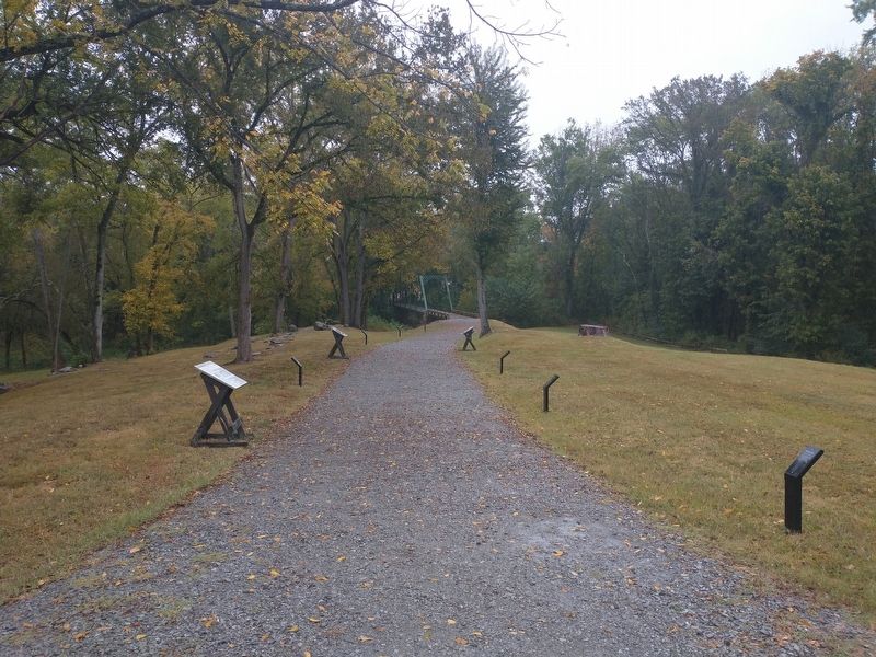
Marker is the large marker on the left.
Topics. This historical marker is listed in these topic lists: Industry & Commerce • Settlements & Settlers. A significant historical date for this entry is December 13, 1940.
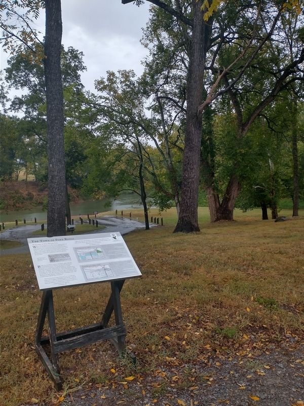
Location. 36° 33.245′ N, 87° 8.492′ W. Marker is in Port Royal, Tennessee, in Montgomery County. It is at the intersection of Port Royal Road (Tennessee Route 238) and Old Clarksville Springfield Rd, on the right when traveling north on Port Royal Road. Marker is located at the Port Royal State Historic Park. Touch for map. Marker is in this post office area: Adams TN 37010, United States of America. Touch for directions.

Regionally, this marker is in Middle Tennessee and in the Highland Rim. It is also in the American South and specifically in the Upper South. Globally, it is in North America, the Western Hemisphere, the Western World, and the Anglosphere. Historically, it finds itself in what was once the territory of the Mississippian Culture, one of the Confederate States of America, and the Antebellum South.
Other nearby markers. At least 8 other markers are within 2 miles of this marker, measured as the crow flies: The Enslaved at Port Royal
Photographed by Tom Bosse, October 2, 2026
3. The Town of Port Royal Marker
Another marker is no longer nearby. 1859 Masonic Lodge & General Store (was within shouting distance of this marker but has been confirmed missing).
Credits. This page was last revised on October 23, 2026. It was originally submitted on October 21, 2026, by Tom Bosse of Jefferson City, Tennessee. This page has been viewed 12 times since then. Photos: 1, 2, 3. submitted on October 21, 2026, by Tom Bosse of Jefferson City, Tennessee. • James Hulse was the editor who published this page.
