Port Royal in Montgomery County, Tennessee — The American South (East South Central)
The Enslaved at Port Royal
Photographed by Tom Bosse, October 2, 2026
1. The Enslaved at Port Royal Marker
A Town Built by Stolen Labor
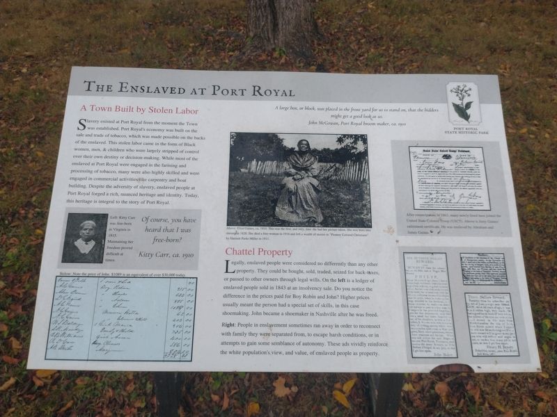
Slavery existed at Port Royal from the moment the Town was established. Port Royal’s economy was built on the sale and trade of tobacco, which was made possible on the backs of the enslaved. This stolen labor came in the form of Black women, men, & children who were largely stripped of control over their own destiny or decision-making. While most of the enslaved at Port Royal were engaged in the farming and processing off tobacco, many were also highly skilled and were engaged in commercial activities like carpentry and boat building. Despite the adversity of slavery, enslaved people at Port Royal forged a rich, nuanced heritage and identity. Today, this heritage is integral to the story of Port Royal.
[Captions]:
Left: Kitty Carr was free-born in Virginia in 1815. Maintaining her freedom proved difficult at times. Of course, you have heard that I was free-born? Kitty Carr, ca. 1910.
Below: Note the price of John. $1089 is an equivalent of over $30,000 today.
A large box, or block, was placed in the front yard for us to stand on, that the bidders might get a good look at us. John McGowen, Port Royal broom maker, ca 1910.
Above: Eliza Gaines, ca. 1910. This was the first, and only, time she had her picture taken. She was born into slavery in 1828. She died a free-woman in 1916 and left a wealth of stories in “Pioneer Colored Christians” by Harriett Parks Miller in 1911.
Chattel Property
Legally, enslaved people were considered no differently than any other property. They could be bought, sold, traded, seized for back-taxes, or passed to other owners through legal wills. On the left is a ledger of enslaved people sold in 1843 at an insolvency sale. Do you notice the difference in the prices paid for Boy Robin and John? Higher prices usually meant the person had a special set of skills, in this case, shoemaking. John became a shoemaker in Nashville after he was freed.
Right: People in enslavement sometimes ran away in order to reconnect with family they were separated from, to escape harsh conditions, or in attempts to gain some semblance of autonomy.
this page online
After emancipation in 1863, many newly freed men joined the United States Colored Troop (USCT). Above is Jerry Gaines’ enlistment certificate. He was enslaved by Abraham and James Gaines.
Erected by Port Royal State Historic Park.
Topics. This historical marker is listed in this topic list: African Americans. A significant historical year for this entry is 1815.
Location. 36° 33.245′ N, 87° 8.494′ W. Marker is in Port Royal, Tennessee, in Montgomery County. It is at the intersection of Port Royal Road (State Road 238) and Old Clarksville Springfield Rd, on the right when traveling north on Port Royal Road. Marker is located at the Port Royal State Historic Park. Touch for map. Marker is in this post office area: Adams TN 37010, United States of America. Touch for directions.

Regionally, this marker is in Middle Tennessee and in the Highland Rim. It is also in the American South and specifically in the Upper South. Globally, it is in North America, the Western Hemisphere, the Western World, and the Anglosphere. Historically, it finds itself in what was once the territory of the Mississippian Culture, one of the Confederate States of America, and the Antebellum South.
Other nearby markers. At least 8 other markers are within 2 miles of this marker, measured as the crow flies: The Town of Port Royal (here, next to this marker); Legacy of the Enslaved (a few steps from this marker); Port Royal (within shouting distance of this marker); Stores of Port Royal (within shouting distance of this marker); a different marker also named Port Royal (within shouting distance of this marker); a different marker also named The Town of Port Royal (about 300 feet away, measured in a direct line); Baseball at Port Royal (about 400 feet away); a different marker also named Port Royal (approx. 1.1 miles away). Touch for a list and map of all markers in Port Royal.
Another marker is no longer nearby. 1859 Masonic Lodge & General Store (was within shouting distance of this marker but has been confirmed missing).
Photographed by Tom Bosse, October 2, 2026
2. The Enslaved at Port Royal Marker
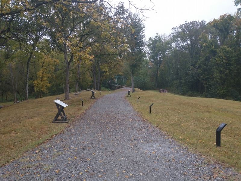
Marker is the third marker from the left.
Credits. This page was last revised on October 25, 2026. It was originally submitted on October 21, 2026, by Tom Bosse of Jefferson City, Tennessee. This page has been viewed 9 times since then. Photos: 1, 2. submitted on October 21, 2026, by Tom Bosse of Jefferson City, Tennessee. • James Hulse was the editor who published this page.
