Cornplanter Township near Pleasantville in Venango County, Pennsylvania — The American Northeast (Mid-Atlantic)
Boomed and Gone
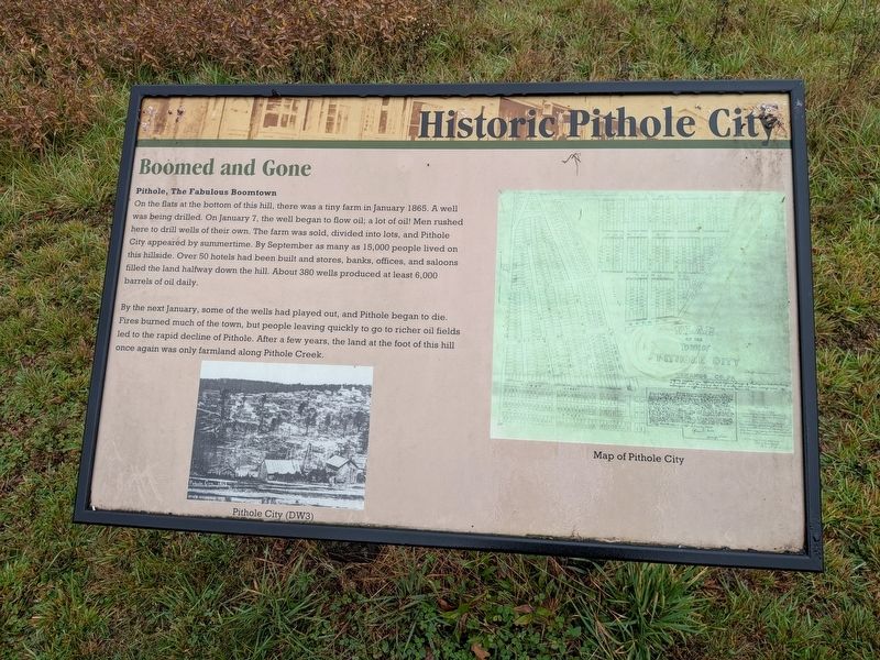
Historic Pithole City
Photographed by Richard Peterson, October 14, 2026
1. Boomed and Gone Marker
Pithole, The Fabulous Boomtown
On the flats at the bottom of this hill, there was a tiny farm in January 1865. A well was being drilled. On January 7, the well began to flow oil; a lot of oil! Men rushed here to drill wells of their own. The farm was sold, divided into lots, and Pithole City appeared by summertime. By September as many as 15,000 people lived on this hillside. Over 50 hotels had been built and stores, banks, offices, and saloons filled the land halfway down the hill. About 380 wells produced at least 6,000 barrels of oil daily.
By the next January, some of the wells had played out, and Pithole began to die. Fires burned much of the town, but people leaving quickly to go to richer oil fields led to the rapid decline of Pithole. After a few years, the land at the foot of this hill once again was only farmland along Pithole Creek.
Erected 2026 by Friends of Drake Well, Inc.
Topics. This historical marker is listed in these topic lists: Industry & Commerce • Settlements & Settlers. A significant historical date for this entry is January 7, 1865.
Location. 41° 31.445′ N, 79° 34.87′ W. Marker is near Pleasantville,
this page online

Regionally, this marker is in Northwestern Pennsylvania. It is also in the American Northeast, in the Mid-Atlantic, in Appalachia, and specifically in Northern Appalachia. Globally, it is in North America, the Western Hemisphere, the Western World, and the Anglosphere. Historically, it finds itself in what was once the Viceroyalty of New France, the Haudenosaunee (Iroquois) Confederacy, and one of the original Thirteen Colonies.
Other nearby markers. At least 8 other markers are within 5 miles of this marker, measured as the crow flies: Photographers (within shouting distance of this marker); Pithole City (within shouting distance of this marker); Civil War Soldiers (within shouting distance of this marker); Pithole City Vanishes (about 300 feet away, measured in a direct line);
Photographed by Richard Peterson, October 14, 2026
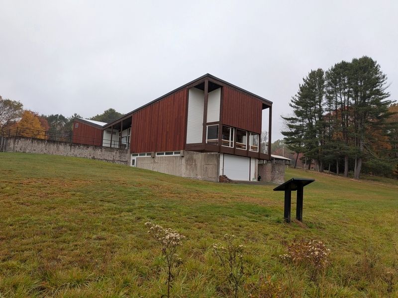
2. Historic Pithole City Visitor Center, with Boomed and Gone Marker
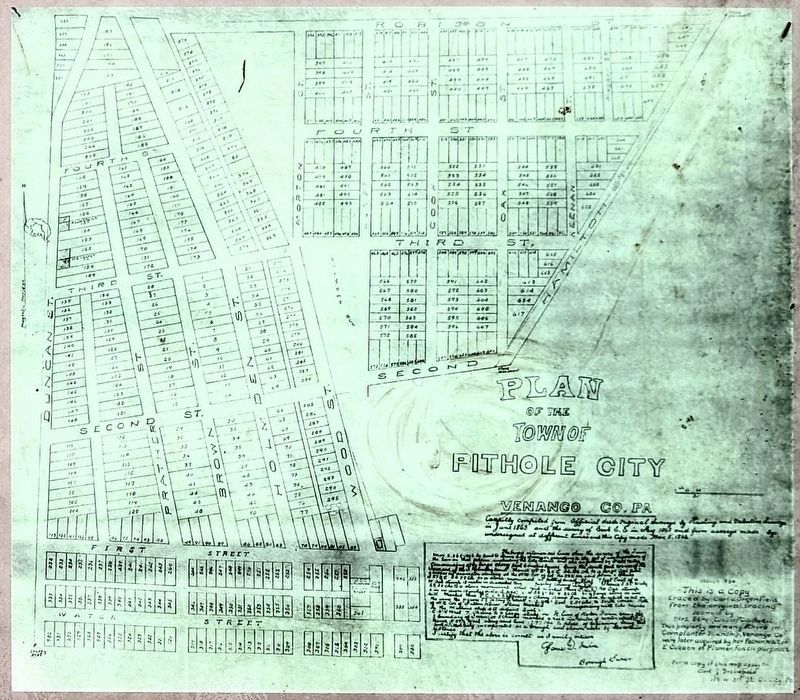
3. Map of Pithole City (on the Marker)
Credits. This page was last revised on October 31, 2026. It was originally submitted on October 21, 2026, by Richard Peterson of East Windsor, New Jersey. This page has been viewed 19 times since then. Photos: 1, 2, 3. submitted on October 21, 2026, by Richard Peterson of East Windsor, New Jersey. • Andrew Ruppenstein was the editor who published this page.
