Koblenz-Ehrenbreitstein , Rhineland-Palatinate, Germany — Central Europe
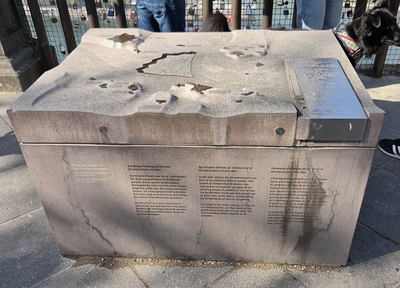
Preußische Festung Coblenz und Ehrenbreitstein
⎯⎯⎯
Prussian Fortress of Coblenz and Ehrenbreitstein
1880
Photographed by James Hulse, October 3, 2026
1. Preußische Festung Coblenz und Ehrenbreitstein / Prussian Fortress of Coblenz and Ehrenbreitstein Ma

Der Ehrenbreitstein war im 19. Jahrhundert Teil eines ausgreifenden Verteidigungssystems. Dieses System unabhängiger Festungswerke sollte im Falle eines Krieges möglichst große Teile der Invasionstruppen binden. Die Festungslandschaft erstreckte sich links- und rechtsrheinisch und schloss die Koblenzer Stadtbefestigung mit ein.
Das Relief auf dem Stein vermittelt in reduzierter und abstrahierter Form einen Eindruck der Festungslandschaft um 1880. Die Darstellung erhebt keinen Anspruch auf Vollständigkeit.
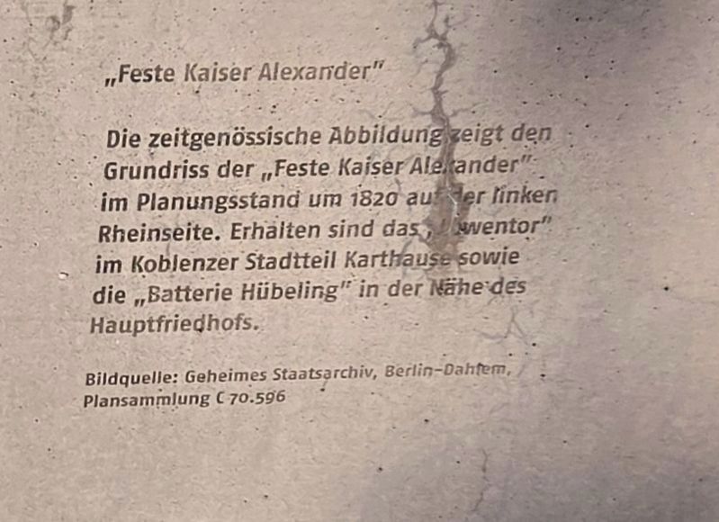
„Feste Kaiser Alexander“
Die zeitgenössische Abbildung zeigt den Grundriss der „Feste Kaiser Alexander“ im Planungsstand um 1820 auf der linken Rheinseite. Erhalten sind das „Löwentor“ im Koblenzer Stadtteil Karthause sowie die „Batterie Hübeling“ in der Nähe des Hauptfriedhofs.
Bildquelle: Geheimes Staatsarchiv, Berlin-Dahlem, Plansammlung C 70.596
In the 19th century the Ehrenbreitstein was part of an extensive defence system. This system of independent fortresses was intended
this page online
The relief on the stone conveys, in reduced and abstract form, an impression of the fortification landscape around 1880. The representation makes no claim to be complete.
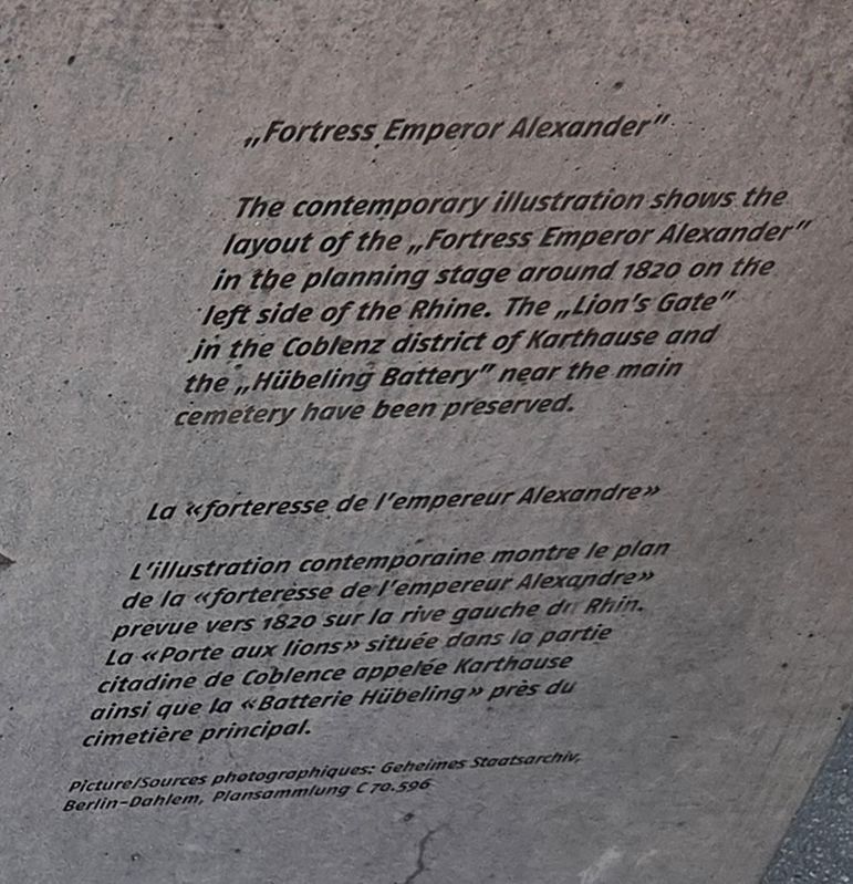
“Fortress Emperor Alexander”
The contemporary illustration shows the layout of the “Fortress Emperor Alexander” in the planning stage around 1820 on the left side of the Rhine. The “Lion’s Gate” in the Coblenz district of Karthause and the “Hübeling Battery” near the main cemetery have been preserved.
Picture: Secret State Archives, Berlin-Dahlem, plan collection C 70.596
L’Ehrenbreitstein faisait partie au 19ème siècle d’un système de défense étendu. Ce système constitué de forteresses indépendantes les unes des autres avait pour objectif en cas d’invasion de troupes ennemies de fixer si possible la plus grande partie de celles-ci. Cet ensemble de forteresses s’étendait sur les rives droite
Photographed by James Hulse, October 3, 2026
2. German Text
Le relief de la pierre donne une idée abstraite sur une échelle réduite de ce site renfermant les forteresses vers 1880. Cette représentation ne prétend pas être complète.
La « forteresse de l’empereur Alexandre »
L’illustration contemporaine montre le plan de la « forteresse de l’empereur Alexandre » prévue vers 1820 sur la rive gauche du Rhin. La « Porte aux lions » située dans la partie citadine de Coblence appelée Karthause ainsi que la « Batterie Hübeling » près du cimetière principal.
Picture/Sources photographiques: Geheimes Staatsarchiv, Berlin-Dahlem, Plansammlung C 70.596
Topics. This historical marker is listed in this topic list: Forts and Castles. A significant historical year for this entry is 1880.
Location. 50° 21.87′ N, 7° 36.796′ E. Marker is in Koblenz, Rheinland-Pfalz (Rhineland-Palatinate). It is in Koblenz-Ehrenbreitstein. It is on Greiffenklaustraße 2 kilometers west of Friesenstraße. The monument is located on the grounds of the Ehrenbreitstein Fortress. Touch for map. Marker is at or near this postal address: B42 258, Koblenz
Photographed by James Hulse, October 3, 2026
3. English and French Text

Regionally, this marker is in the German Rhineland, in the Upper Middle Rhine Valley, and specifically in the Moselle Valley. Globally, it is in Europe, the European Union, Atlantic Europe, Central Europe, the Schengen Area, Western Europe, and the Western World. Historically, it finds itself in what was once the Roman Empire, the Holy Roman Empire, and the former West Germany.
Other nearby markers. At least 8 other markers are within walking distance of this marker: Brunnendenkmal / Fountain Monument (here, next to this marker); Ein 50er Jahre Garten / A 1950s Garden (about 180 meters away, measured in a direct line); Ein mittelalterlicher Bauerngarten / A Medieval Cottage Garden (about 180 meters away); Historische Zeitgärten / Historical Period Gardens (about 180 meters away); Ein Garten der Römerzeit (about 210 meters away); Der Mensch wird sesshaft / People Adopt a Settled Way of Life (about 240 meters away); Demokratischer Widerstand Junger Menschen zu Allen Zeiten (approx. 0.6 kilometers away); Gegen das Vergessen des Unrechts der Sed-Diktatur (approx. 0.6 kilometers away).
Photographed by James Hulse, October 3, 2026
4. Prussian Fortress of Coblenz and Ehrenbreitstein Marker
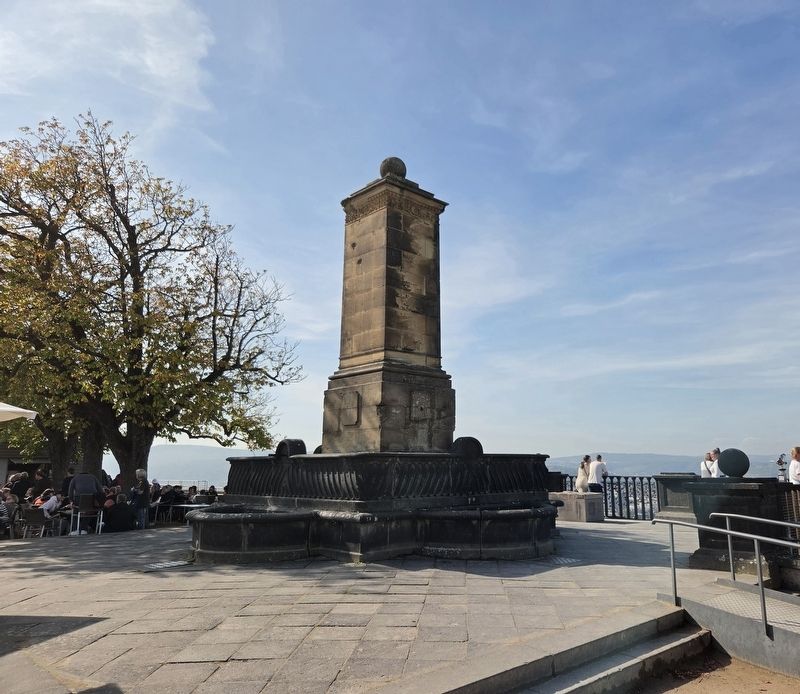
The marker is located on the right side of the memorial.
More about this marker. The marker is located atop Ehrenbreitstein Fortress next to the monumental. Admission is required to enter the fortress and visit the marker.
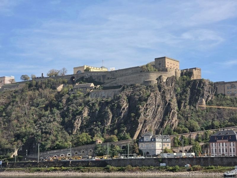
Photographed by James Hulse, October 4, 2026
5. Prussian Fortress of Coblenz
The view of the fortress from across the Rhine River.
Credits. This page was last revised on October 23, 2026. It was originally submitted on October 22, 2026, by James Hulse of Medina, Texas. This page has been viewed 13 times since then. Photos: 1, 2, 3, 4, 5. submitted on October 22, 2026, by James Hulse of Medina, Texas.
