Battle Ground in Tippecanoe County, Indiana — The American Midwest (Great Lakes)
Battlefield Chapel
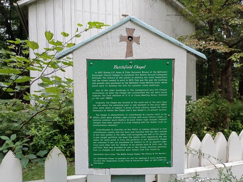
Photographed by Craig Doda, September 13, 2026
1. Battlefield Chapel Marker
In 1857 Bishop E.R. Ames & Elder Benjamin Winans of the Methodist Episcopal Church helped to establish the Battle Ground Collegiate Institute. The history of the school is sketchy, but most researchers feel the school ceased to exist in 1875. That was the year the buildings and grounds were purchased by the Methodist Camp Meeting Assoc. whose plans were to develop the site for summer camp meetings.
One of the older buildings in the campground was the Chapel. Information on when the Chapel was constructed has not been found, however the first mention of it is in Camp Meeting Assoc. minutes in the late 1880's.
Originally the Chapel was located at the south end of the park (near the site where the swimming pool is now located). In the early 1980's after some years of neglect, a group of local citizens raised the funds necessary to restore the Chapel, and it was moved to its present location.
The Chapel is characteristic of schoolhouses & churches built in the 1850's: plain glass windows, open ceilings with wood rafters visible, oil lanterns, exterior wood shutters & wood shaker type shingles. (Asphalt shingles have
this page online
Schoolhouses & churches of the 1850's in Indiana differed in that schoolhouses usually had one door, and churches had two. Men entered in one door, women in the other, each occupying one half of the church. A pew height partition ran down the center aisle separating the two sides. (At some point in time, the partition in our Battlefield Chapel was removed.) It was not uncommon for families to sit on opposite sides from each other and for children to be passed back & forth over the partition. Heat was provided by one or two stoves; churches generally had no steeple, and benches were simple and free standing.
Information taken from: "The Battle Ground Chapel: The History & The Mystery"
Our Battlefield Chapel is available for rent for weddings & social gatherings. Contact the Tippecanoe County Park & Recreation Dept. at 463-2306 for information.
Topics. This historical marker is listed in this topic list: Religion & Religious Structures. A significant historical year for this entry is 1857.
Location. 40° 30.477′ N, 86° 50.631′ W. Marker is in Battle Ground,
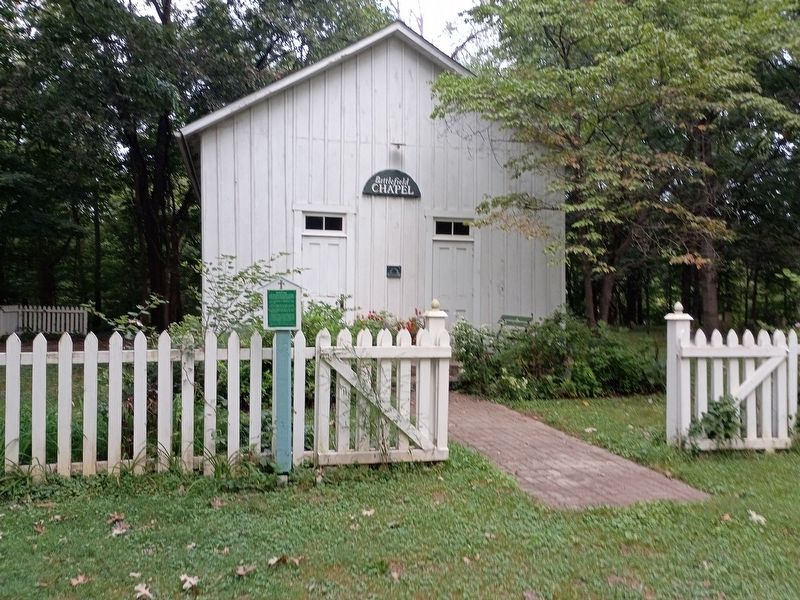
Photographed by Craig Doda, September 13, 2026
2. Battlefield Chapel Marker

Regionally, this marker is in Central Indiana. It is also in the American Midwest and in the Corn Belt. Globally, it is in North America, the Western Hemisphere, the Western World, and the Anglosphere. Historically, it finds itself in what was once the Viceroyalty of New France, the territory of the Mississippian Culture, and the Northwest Territory.
Other nearby markers. At least 8 other markers are within walking distance of this marker: Harrisonville Cemetery (within shouting distance of this marker); The Methodist Camp (about 500 feet away, measured in a direct line); The Battle of Tippecanoe (about 500 feet away); A Great Native Alliance (about 500 feet away); Potawatomi ‘Trail of Death’ Route (about 500 feet away); Potawatomi "Trail of Death" march: Sept. - Nov. 1838 (about 600 feet away); Battle of Tippe Canoe, Nov. 7, 1811
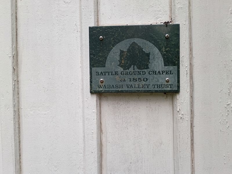
Photographed by Craig Doda, September 13, 2026
3. Battlefield Chapel Marker
Credits. This page was last revised on October 28, 2026. It was originally submitted on October 22, 2026, by Craig Doda of Napoleon, Ohio. This page has been viewed 16 times since then. Photos: 1, 2, 3. submitted on October 22, 2026, by Craig Doda of Napoleon, Ohio. • Devry Becker Jones was the editor who published this page.
