Franklin in Crawford County, Kansas — The American Midwest (Upper Plains)
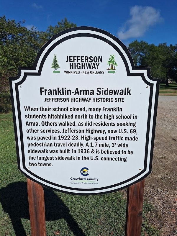
Franklin-Arma Sidewalk
Jefferson Highway Historic Site
Photographed by Jason Voigt, September 22, 2026
1. Franklin-Arma Sidewalk Marker
When their school closed, many Franklin students hitchhiked north to the high school in Arma. Others walked, as did residents seeking other services. Jefferson Highway, now U.S. 69, was paved in 1922-23. High-speed traffic made pedestrian travel deadly. A 1.7 mile, 3' wide sidewalk was built in 1936 & is believed to be the longest sidewalk in the U.S. connecting towns.
Erected by Crawford County Convention & Visitors Bureau and Jefferson Highway Association.
Topics and series. This historical marker is listed in this topic list: Education. In addition, it is included in the Jefferson Highway series list. A significant historical year for this entry is 1936.
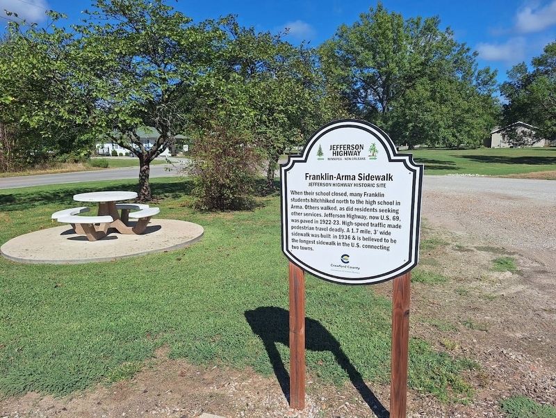
Location. 37° 31.37′ N, 94° 42.274′ W. Marker is in Franklin, Kansas, in Crawford County. It is at the intersection of South Broadway Street (Business U.S. 69) and East 5th Street, on the left when traveling south on South Broadway Street. Marker is located at Franklin Community Park. Touch for map. Marker is at or near this postal address: 411 S Broadway St, Franklin KS 66735, United States of America. Touch for directions.

Regionally, this marker is in Eastern
this page online
Other nearby markers. At least 8 other markers are within walking distance of this marker: Franklin - Arma Sidewalk (a few steps from this marker); William B. and Athlyn C. Pritchett (a few steps from this marker); Trolley / Street Car Rails (a few steps from this marker); Franklin Grade School and Playground (a few steps from this marker); Franklin Sidewalk (within shouting distance of this marker); Franklin Community Park Sign (within shouting distance of this marker); Franklin School Bell (within shouting distance of this marker); a different marker also named Franklin Sidewalk (about 700 feet away, measured in a direct line). Touch for a list and map of all markers in Franklin.
More about this marker. Marker is double-sided.
Also see . . . The Franklin to Arma Sidewalk of 1936.
Photographed by Jason Voigt, September 22, 2026
2. Franklin-Arma Sidewalk Marker
Located at Franklin Community Park.
Photographed by Jason Voigt, September 22, 2026
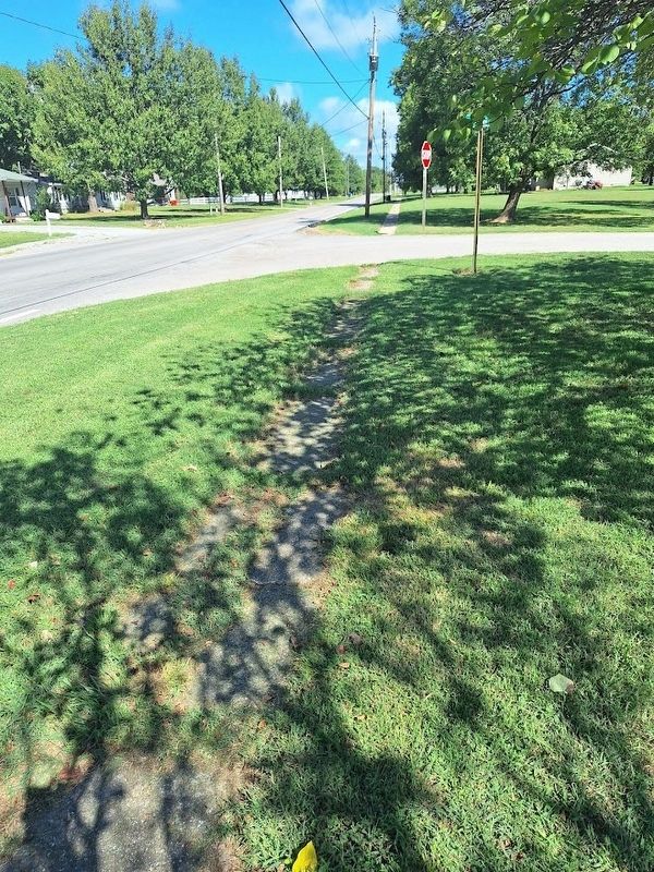
3. Franklin-Arma Sidewalk Marker
Part of the sidewalk (just steps away from the marker)
Credits. This page was last revised on October 22, 2026. It was originally submitted on October 22, 2026, by Jason Voigt of Glen Carbon, Illinois. This page has been viewed 7 times since then. Photos: 1, 2, 3. submitted on October 22, 2026, by Jason Voigt of Glen Carbon, Illinois.
