Near Gering in Scotts Bluff County, Nebraska — The American Midwest (Upper Plains)
The Pony Express
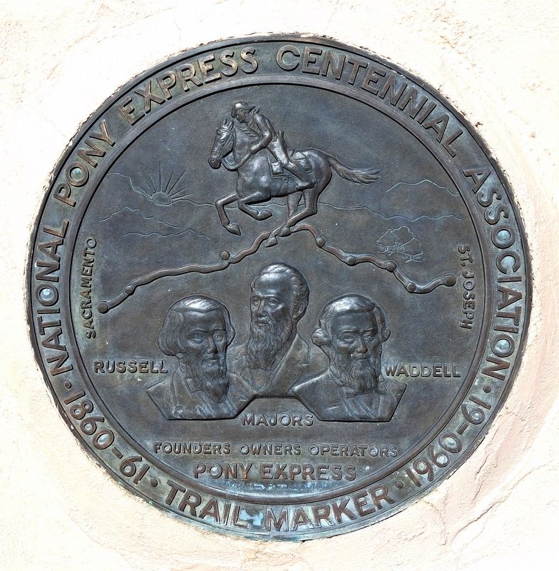
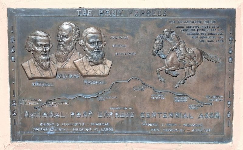
1860 • 1861 • • 1960 • 1961
Photographed by William Fischer, Jr., September 26, 2026
1. The Pony Express Marker
Russell • Majors • Waddell
Founders · Owners · Operators
Sacramento [to] St. Joseph
——————————
120 Celebrated Riders
rode 650,000 miles with only
one rider killed by Indians,
one schedule not completed
and one mail lost
Erected 1960 by National Pony Express Centennial Association and National Park Service.
Topics and series. This historical marker is listed in these topic lists: Animals • Communications • Settlements & Settlers. In addition, it is included in the Pony Express National Historic Trail series list. A significant historical date for this entry is April 3, 1860.
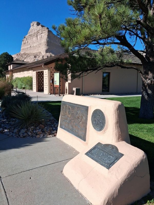
Location. 41° 49.701′ N, 103° 42.432′ W. Marker is near Gering, Nebraska, in Scotts Bluff County. It is on Old Oregon Trail (County Highway K), on the right when traveling west. Marker is on the Scotts Bluff National Monument Visitor Center grounds. Touch for map. Marker is at or near this postal address: 190276 Old Oregon Trail, Gering NE 69341, United States of America. Touch for directions.

Regionally, this marker is in the Nebraska Panhandle. It is also in the American Midwest, in the Corn Belt, and on the prairies. Globally,
this page online
Other nearby markers. At least 8 other markers are within walking distance of this marker: Scott's Bluff Pony Express Station (here, next to this marker); Choices (about 300 feet away); A Transportation Corridor (approx. 0.2 miles away); History Lives on in Art (approx. 0.4 miles away); Assistance on the Trail (approx. 0.4 miles away); a different marker also named Oregon Trail (approx. 0.4 miles away); A Sea of Grass (approx. 0.4 miles away); A Landscape Changed Forever (approx. 0.6 miles away). Touch for a list and map of all markers in Gering.
Other markers no longer nearby. Oregon Trail (was about 300 feet away, measured in a direct line but has been permanently removed); Traces of the Trail (was approx. 0.2 miles away but has been replaced with another marker now near it); The Bullwhackers (was approx. 0.4 miles away but has been permanently removed); Scotts Bluff (was approx. 0.6 miles away but has been permanently removed); a different marker also named
Photographed by William Fischer, Jr., September 26, 2026
2. The Pony Express Marker
Photographed by William Fischer, Jr., September 26, 2026
3. The Pony Express Markers
Credits. This page was last revised on October 22, 2026. It was originally submitted on October 22, 2026, by William Fischer, Jr. of Reynoldsburg, Ohio. This page has been viewed 6 times since then. Photos: 1, 2, 3. submitted on October 22, 2026, by William Fischer, Jr. of Reynoldsburg, Ohio.
