Iroquois in South Dundas in Stormont Dundas and Glengarry United Counties, Ontario — Central Canada (North America)
Capturing Point Iroquois
7 November 1813
⎯⎯⎯
Prise de la Pointe des Iroquois
7 novembre 1813
Photographed by Kevin Craft, October 6, 2026
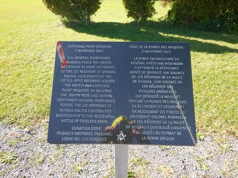
1. Capturing Point Iroquois / Prise de la Pointe des Iroquois Marker
{English text}
U.S. General Wilkinson's
invasion force met armed
resistance by some 200 troops
of the 1st Regiment of Dundas
militia. 1200 troops of the
1st U.S. Rifle Regiment routed
the militia and captured
Point Iroquois. By delaying
the enemy here and joining
Lieutenant-Colonel Morrison's
forces, the 1st Regiment of
Dundas militia contributed
significantly to the successful
Battle of Crysler's Farm.
{French text}
La force envahissante du
Général américain Wilkinson
a affronté la résistance
armée de quelque 200 soldats
du 1er Régiment de la milice
de Dundas. 1200 soldats du
1er Régiment des
Fusiliers américains
ont dérouté la milice et
capturé la Pointe des Iroquois.
En retardant ici l'ennemi et
en rejoignant les forces du
Lieutenant-Colonel Morrison,
le 1er Régiment de la milice
de Dundas a contribué largement
au succès du combat de
la Ferme Crysler.
Erected by Friendly Brothers (Masonic) Lodge no. 143.
Topics. This historical marker is listed in this topic list: War of 1812. A significant historical date for this entry is November 7, 1813.
Location. 44° 49.88′ N, 75° 18.85′ W. Marker is in South Dundas, Ontario, in Stormont Dundas and Glengarry United Counties.
this page online

Regionally, this marker is in Eastern Ontario. It is also in Central Canada. Globally, it is in North America, the Western Hemisphere, the Western World, and the Anglosphere. Historically, it finds itself in what was once a British colony, the Viceroyalty of New France, the Haudenosaunee (Iroquois) Confederacy, and Rupert’s Land.
Other nearby markers. At least 8 other markers are within 8 kilometers of this marker, measured as the crow flies: Toussaint Island Ambush / Embuscade de l'Île Toussaint (here, next to this marker); 1st Regiment of Dundas Militia / 1er Régiment de la milice de Dundas (here, next to this marker); Fort Needless / Le Fort Inutile (a few steps from this marker); The Construction of the St. Lawrence Seaway (a few steps from this marker); The St. Lawrence Seaway (a few steps from this marker); Trooper Lorne Mulloy (about 90 meters away, measured in a direct line); St. Paul's Church
Photographed by Kevin Craft, October 6, 2026
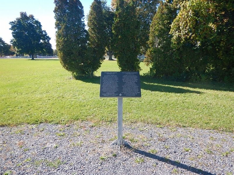
2. Wideview of Capturing Point Iroquois / Prise de la Pointe des Iroquois Marker
Credits. This page was last revised on October 22, 2026. It was originally submitted on October 22, 2026, by Kevin Craft of Bedford, Quebec. This page has been viewed 5 times since then. Photos: 1, 2. submitted on October 22, 2026, by Kevin Craft of Bedford, Quebec.
