Iroquois in South Dundas in Stormont Dundas and Glengarry United Counties, Ontario — Central Canada (North America)
Fort Needless
1812-1814
⎯⎯⎯
Le Fort Inutile
1812-1814
Photographed by Kevin Craft, October 6, 2026
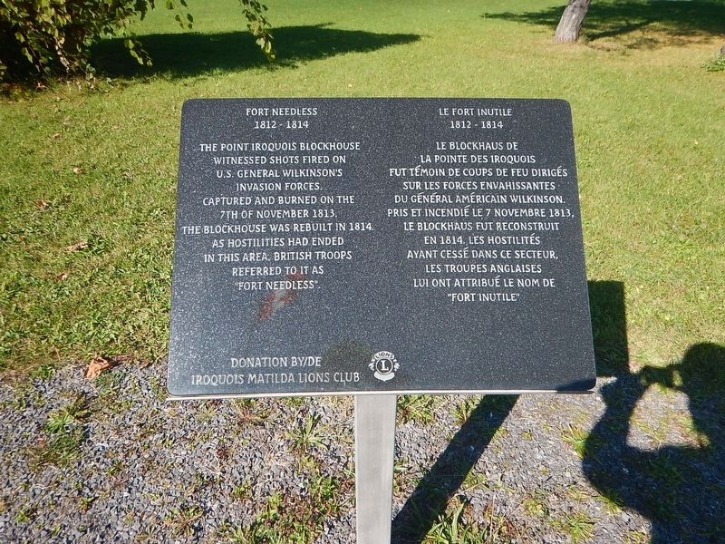
1. Fort Needless / Le Fort Inutile Marker
{English text}
The Point Iroquois blockhouse
witnessed shots fired on
U.S. General Wilkinson's
invasion forces.
Captured and burned on the
7th of november 1813,
the blockhouse was rebuilt in 1814.
As hostilities had ended
in this area, British troops
referred to it as
"Fort Needless".
{French text}
Le blockhaus de
la Pointe des Iroquois
fut témoin de coups de feu dirigés
sur les forces envahissantes
du Général américain Wilkinson.
Pris et incendié le 7 novembre 1813,
le blockhaus fut reconstruit
en 1814. Les hostilités
ayant cessé dans ce secteur,
les troupes anglaises
lui ont attribué le nom de
"Fort Inutile".
Erected by Iroquois Matilda Lions Club.
Topics. This historical marker is listed in this topic list: War of 1812.
Location. 44° 49.883′ N, 75° 18.846′ W. Marker is in South Dundas, Ontario, in Stormont Dundas and Glengarry United Counties. It is in Iroquois. It is on Carman Road 0.7 kilometers south of Boat House Road, on the right when traveling south. Touch for map. Marker is in this post office area: South Dundas ON K0E 1K0, Canada. Touch for directions.

Regionally, this
this page online
Other nearby markers. At least 8 other markers are within 8 kilometers of this marker, measured as the crow flies: 1st Regiment of Dundas Militia / 1er Régiment de la milice de Dundas (here, next to this marker); Capturing Point Iroquois / Prise de la Pointe des Iroquois (a few steps from this marker); The St. Lawrence Seaway (a few steps from this marker); The Construction of the St. Lawrence Seaway (a few steps from this marker); Toussaint Island Ambush / Embuscade de l'Île Toussaint (a few steps from this marker); Trooper Lorne Mulloy (about 90 meters away, measured in a direct line); St. Paul's Church (approx. 5.1 kilometers away); Canals, Rivers and Seaways - Cardinal's History Explored (approx. 7.1 kilometers away). Touch for a list and map of all markers in South Dundas.
Photographed by Kevin Craft, October 6, 2026
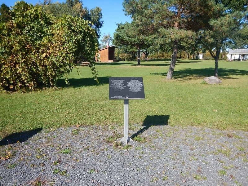
2. Wideview of Fort Needless / Le Fort Inutile Marker
Credits. This page was last revised on October 22, 2026. It was originally submitted on October 22, 2026, by Kevin Craft of Bedford, Quebec. This page has been viewed 2 times since then. Photos: 1, 2. submitted on October 22, 2026, by Kevin Craft of Bedford, Quebec.
