Monticello in Lewis County, Missouri — The American Midwest (Upper Plains)
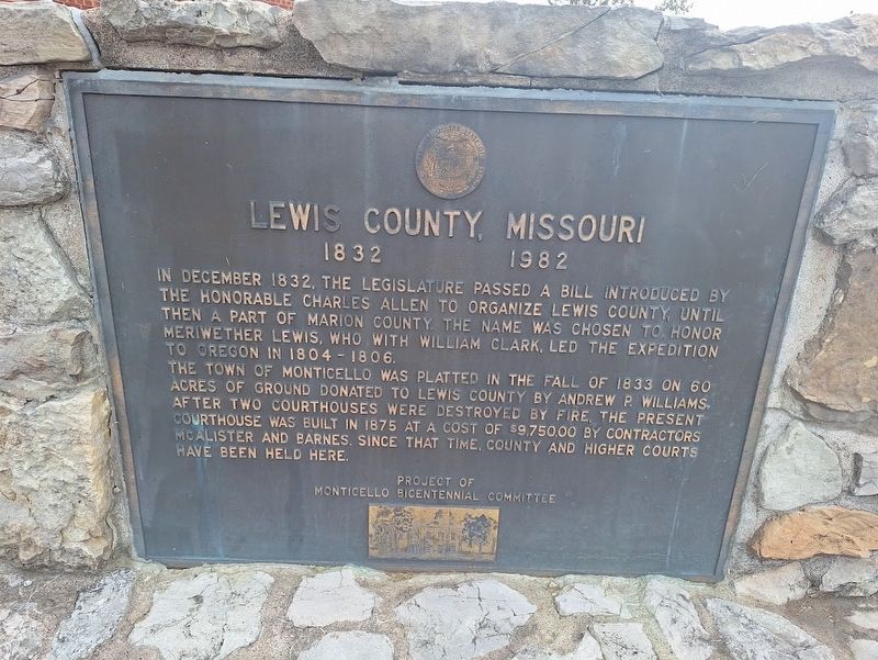
Lewis County, Missouri
1832-1982
Photographed by Jason Voigt, October 16, 2026
1. Lewis County, Missouri Marker
In December 1832, the legislature passed a bill introduced by the Honorable Charles Allen to organize Lewis County, until then a part of Marion County. The name was chosen to honor Meriwether Lewis, who with William Clark, led the expedition to Oregon in 1804-1806.
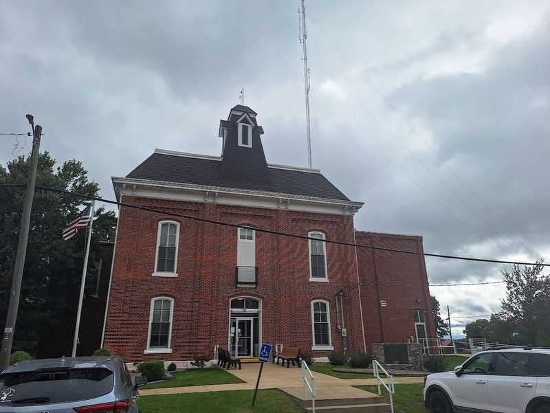
The town of Monticello was platted in the Fall of 1833 on 60 acres of ground donated to Lewis County by Andrew P. Williams. After two courthouses were destroyed by fire, the present courthouse was built in 1875 at a cost of $9,750.00 by contractors McAlister and Barnes. Since that time, county and higher courts have been held here.
Erected by Monticello Bicentennial Committee.
Topics and series. This historical marker is listed in these topic lists: Exploration • Settlements & Settlers. In addition, it is included in the Lewis & Clark Expedition series list. A significant historical month for this entry is December 1832.
Location. 40° 7.108′ N, 91° 42.852′ W. Marker is in Monticello, Missouri, in Lewis County. It is on Lafayette Street east of Washington Street, on the left when traveling west. Marker is in front of Lewis County Circuit Court building. Touch for map.
this page online

Regionally, this marker is in North Missouri. It is also in the American Midwest, in the Lewis & Clark Corridor, in the Corn Belt, and in the Great River Road Region. Globally, it is in North America, the Western Hemisphere, the Western World, and the Anglosphere. Historically, it finds itself in what was once the territory of the Mississippian Culture, the Louisiana Purchase, and the Antebellum South.
Other nearby markers. At least 6 other markers are within 12 miles of this marker, measured as the crow flies: War Memorial (a few steps from this marker); Monticello Christian Church (about 500 feet away, measured in a direct line); Canton (approx. 10.4 miles away); History Along The Mississippi River Parkway (approx. 10.4 miles away); Lincoln School (approx. 10.4 miles away); La Grange on the River (approx. 11.6 miles away).
Also see . . . Lewis County, Missouri on Wikipedia. With a population of just 98 people (according to the town's city limit sign), Monticello is the smallest
Photographed by Jason Voigt, October 16, 2026
2. Lewis County, Missouri Marker
Credits. This page was last revised on October 23, 2026. It was originally submitted on October 23, 2026, by Jason Voigt of Glen Carbon, Illinois. This page has been viewed 4 times since then. Photos: 1, 2. submitted on October 23, 2026, by Jason Voigt of Glen Carbon, Illinois.
