Mitchell in Scotts Bluff County, Nebraska — The American Midwest (Upper Plains)
Mitchell Volunteer Fire Department Charter Members
Photographed by William Fischer, Jr., September 26, 2026
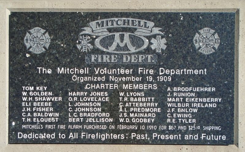
1. Mitchell Volunteer Fire Department Charter Members Marker
The Mitchell Volunteer Fire Department
Organized November 19, 1909
Charter Members
Tom Key • W. Golden • W.H. Shawver • Eli Beebe • J.H. Fisher • C.A. Baldwin
T.H. Elquest • Harry Jones • O.R. Lovelace • L. Johnson • C. Johnson
L.C. Bradford • Bert Jellison • W. Lyons • T.R. Babbitt • C. Atteberry
A.L. Predmore • J.S. Mainard • W.D. Godbey • A. Brodfuehrer • J. Runion
Mart Eikenberry • Wilbur Ireland • J.F. Enlow • C. Ewing • R.E. Tyler
Mitchell's first fire alarm purchased on
February 10. 1910 for $67 and $25.10 shipping
Dedicated To All Firefighters: Past, Present And Future
Topics. This historical marker is listed in these topic lists: Charity & Public Work • Settlements & Settlers. A significant historical date for this entry is February 10, 1910.
Location. 41° 56.338′ N, 103° 48.51′ W. Marker is in Mitchell, Nebraska, in Scotts Bluff County. It is at the intersection of Center Avenue and 12th Street, on the left when traveling south on Center Avenue. Touch for map. Marker is at or near this postal address: 1203 Center Avenue, Mitchell NE 69357, United States of America. Touch for directions.

Regionally, this marker
this page online
Other nearby markers. At least 8 other markers are within 9 miles of this marker, measured as the crow flies: Jeanne Skeen Veterans Memorial Park (approx. 6 miles away); Fort Mitchell, 1864-1867 (approx. 6.6 miles away); a different marker also named Fort Mitchell, 1864-1867 (approx. 6.6 miles away); Scott's Bluff Pony Express Station (approx. 6.6 miles away); Saddle Club, Inc. (approx. 8.2 miles away); Replica of the Statue of Liberty (approx. 8.8 miles away); Pascual Huerta Memorial (approx. 8.8 miles away); Water Challenges/Desafíos del Agua (approx. 8.8 miles away). Touch for a list and map of all markers in Mitchell.
Photographed by William Fischer, Jr., September 26, 2026
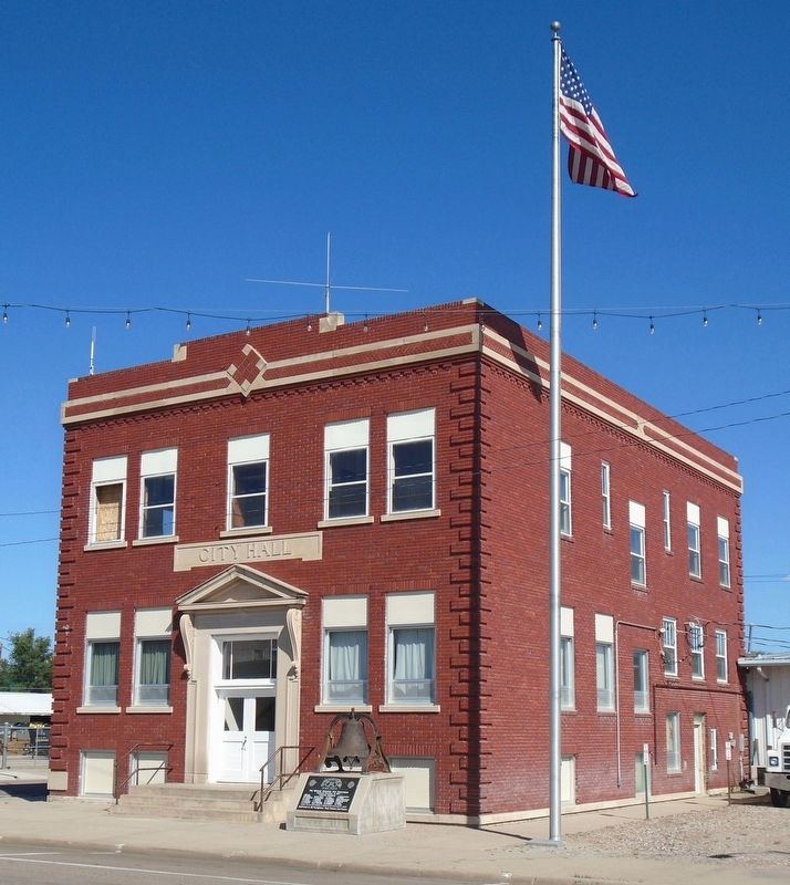
2. Mitchell Volunteer Fire Department Charter Members Marker
Photographed by William Fischer, Jr., September 26, 2026
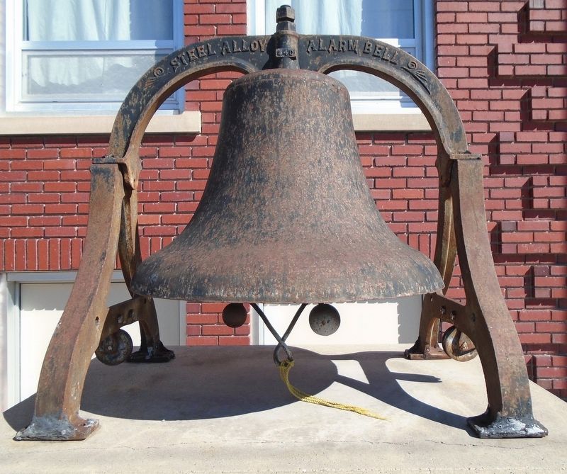
3. Mitchell Volunteer Fire Department Alarm Bell
Credits. This page was last revised on October 24, 2026. It was originally submitted on October 24, 2026, by William Fischer, Jr. of Reynoldsburg, Ohio. This page has been viewed 11 times since then. Photos: 1, 2, 3. submitted on October 24, 2026, by William Fischer, Jr. of Reynoldsburg, Ohio.
