Near Upperville in Loudoun County, Virginia — The American South (Mid-Atlantic)
Willisville
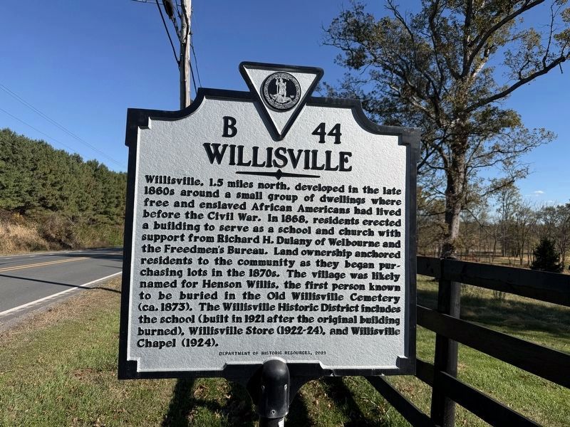
Willisville, 1.5 miles north, developed in the late 1860s around a small group of dwellings where free and enslaved African Americans had lived before the Civil War. In 1868, residents erected a building to serve as a school and church with support from Richard H. Dulany of Welbourne and the Freedmen's Bureau. Land ownership anchored residents to the community as they began purchasing lots in the 1870s. The village was likely named for Henson Willis, the first person known to be buried in the Old Willisville Cemetery (ca. 1873). The Willisville Historic District includes the school (built in 1921 after the original building burned), Willisville Store (1922-24), and Willisville Chapel (1924).
Erected 2021 by Deaprtment of Historic Resources. (Marker Number B-44.)
Topics and series. This historical marker is listed in these topic lists: African Americans • Settlements & Settlers. In addition, it is included in the Virginia Department of Historic Resources (DHR) series list. A significant historical year for this entry is 1868.
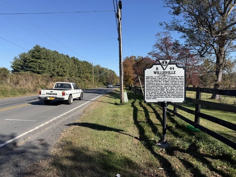
Location. 38° 59.272′ N, 77° 50.964′ W. Marker is near Upperville, Virginia, in Loudoun
this page online

Regionally, this marker is in the Washington Metropolitan Area and in Northern Virginia. It is also in the American South, specifically in the Upper South, and in the Mid-Atlantic. Globally, it is in North America, the Western Hemisphere, the Western World, and the Anglosphere. Historically, it finds itself in what was once the territory of the Mississippian Culture, one of the original Thirteen Colonies, one of the Confederate States of America, and the Antebellum South.
Other nearby markers. At least 8 other markers are within 2 miles of this marker, measured as the crow flies: Paul Mellon (approx. 0.3 miles away); Rokeby Stables (approx. 0.3 miles away); a different marker also named Battle of Unison (approx. 1.2 miles away); a different marker also named Upperville (approx. 1.2 miles away); The Smith House (approx. 1½ miles
Other markers no longer nearby. Battle of Unison (was approx. 1.2 miles away but has been permanently removed); Upperville (was approx. 1.2 miles away but has been replaced with another marker now near it); Attack at Goose Creek Bridge (was approx. 1.6 miles away but has been replaced with another marker now near it).
Credits. This page was last revised on October 25, 2026. It was originally submitted on October 25, 2026, by Devry Becker Jones of Washington, District of Columbia. This page has been viewed 11 times since then. Photos: 1, 2. submitted on October 25, 2026, by Devry Becker Jones of Washington, District of Columbia.
