Mitte in Hannover in Region Hannover, Lower Saxony, Germany — Central Europe
St. Aegidienkirche
⎯⎯⎯
St. Aegidien Church
Photographed by James Hulse, October 8, 2026
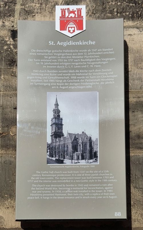
1. St. Aegidienkirche / St. Aegidien Church Marker

1943 durch Bomben zerstört blieb die Kirche nach dem Zweiten Weltkrieg eine Ruine und wurde ein Mahnmal für Versöhnung und gegen Krieg und Gewaltherrschaft. 1958 wurde im Turm ein Glockenspiel installiert. Seit 1985 hängt als Geschenk der Partnerstadt Hiroshima im Turmeingang eine Kopie der dortigen Friedensglocke, die jährlich am 6. August angeschlagen wird.
Gesamtansicht Aegidienkirche, Fotografie 1900
The church was destroyed by bombs in 1943 and remained a ruin after the Second World War, becoming a memorial for reconciliation, against war and tyranny. In 1958, a carillon was installed in the tower. In 1985 Hiroshima presented Hannover, their twin city, with a replica of their own peace bell. It hangs in the tower entrance and is struck every year on 6 August.
General view of Aegidien Church, photograph, 1900
Erected by Landeshauptstadt Hannover. (Marker Number 88.)
Topics. This historical marker is listed in these topic lists: Religion & Religious Structures • War, World II. A significant historical year for this entry is 1347.
Location. 52° 22.164′ N, 9° 44.338′ E. Marker is in Hannover, Niedersachsen (Lower Saxony), in Region Hannover.
this page online

Regionally, it is in Europe, the European Union, Atlantic Europe, Central Europe, the Schengen Area, Western Europe, and the Western World. Historically, it finds itself in what was once the Holy Roman Empire and also the former West Germany.
Other nearby markers. At least 8 other markers are within walking distance of this marker: „Wir werden im Vertrauen auf dich weiter unseren Weg gehen …“ (here, next to this marker); Aus der Geschichte der St. Aegidienkirche / From the History of St. Aegidien Church (a few steps from this marker); Krieg und Katastrophe / War and Catastrophe (within shouting distance of this marker); Laveshaus / Laves Residence (about 210 meters away, measured in a direct line); Rathaus der Landeshauptstadt Hannover / City Hall of the State Capital Hannover (about 210 meters away); Wangenheimpalais / Wangenheim Palace (approx. 0.3 kilometers away); Hannoversche Bank / Karl Börgemann
Photographed by James Hulse, October 8, 2026
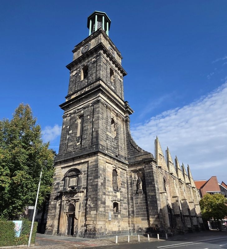
2. St. Aegidienkirche / St. Aegidien Church Marker
Photographed by James Hulse, October 8, 2026
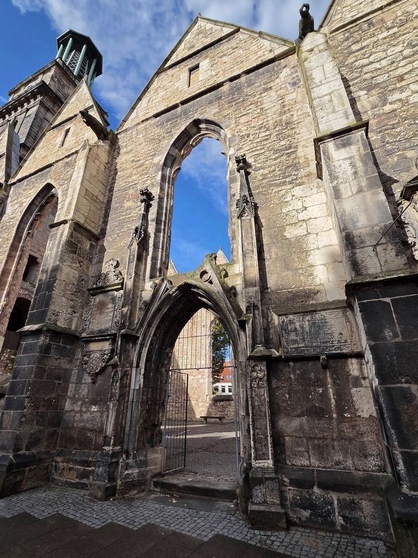
3. St. Aegidienkirche / St. Aegidien Church Marker
Photographed by James Hulse, October 8, 2026
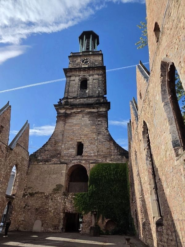
4. St. Aegidienkirche / St. Aegidien Church Marker
Credits. This page was last revised on October 29, 2026. It was originally submitted on October 26, 2026, by James Hulse of Medina, Texas. This page has been viewed 8 times since then. Photos: 1, 2, 3, 4. submitted on October 28, 2026, by James Hulse of Medina, Texas.
