Mitte in Hannover in Region Hannover, Lower Saxony, Germany — Central Europe
Rathaus der Landeshauptstadt Hannover
⎯⎯⎯
City Hall of the State Capital Hannover
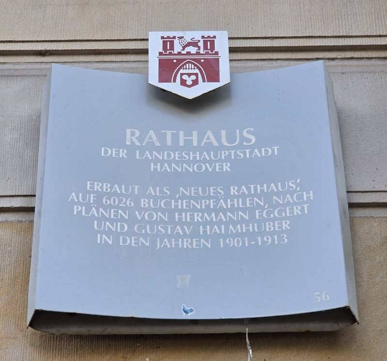
Photographed by James Hulse, October 8, 2026
1. Rathaus der Landeshauptstadt Hannover / City Hall of the State Capital Hannover Marker

der Landeshauptstadt
Hannover
Erbaut als „Neues Rathaus“,
auf 6026 Buchenpfählen, nach
Plänen von Hermann Eggert
und Gustav Halmhuber
in den Jahren 1901–1913
City Hall of the State Capital Hannover
Built as the “New City Hall” on 6,026 beech piles, according to plans by Hermann Eggert and Gustav Halmhuber, between 1901 and 1913.
Erected by Landeshauptstadt Hannover. (Marker Number 56.)
Topics. This historical marker is listed in this topic list: Notable Buildings.
Location. 52° 22.056′ N, 9° 44.253′ E. Marker is in Hannover, Niedersachsen (Lower Saxony), in Region Hannover. It is in Mitte. It is at the intersection of Platz der Menschenrechte and Friedrichswall, on the right when traveling east on Platz der Menschenrechte. Touch for map. Marker is at or near this postal address: Platz d Menschenrechte 1, Hannover NI 30159, Germany. Touch for directions.

Regionally, it is in Europe, the European Union, Atlantic Europe, Central Europe, the Schengen Area, Western Europe, and the Western World. Historically,
this page online
Other nearby markers. At least 8 other markers are within walking distance of this marker: Laveshaus / Laves Residence (about 180 meters away, measured in a direct line); „Wir werden im Vertrauen auf dich weiter unseren Weg gehen …“ (about 210 meters away); St. Aegidienkirche / St. Aegidien Church (about 210 meters away); Aus der Geschichte der St. Aegidienkirche / From the History of St. Aegidien Church (about 240 meters away); Wangenheimpalais / Wangenheim Palace (approx. 0.2 kilometers away); Krieg und Katastrophe / War and Catastrophe (approx. 0.2 kilometers away); Hannoversche Bank / Karl Börgemann (approx. half a kilometer away); Marktkirche / Market Church (approx. half a kilometer away). Touch for a list and map of all markers in Hannover.
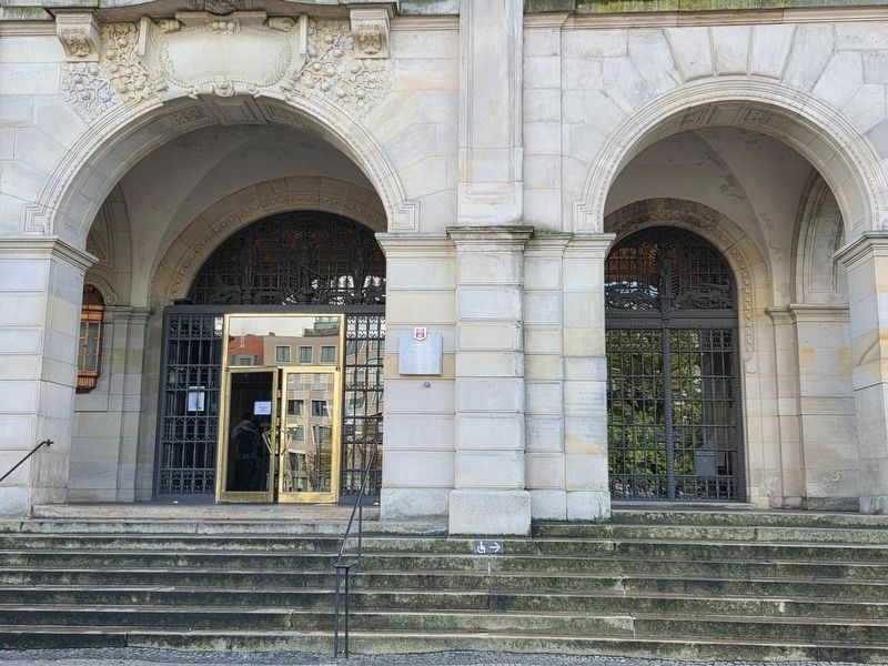
Photographed by James Hulse, October 8, 2026
2. Rathaus der Landeshauptstadt Hannover / City Hall of the State Capital Hannover Marker
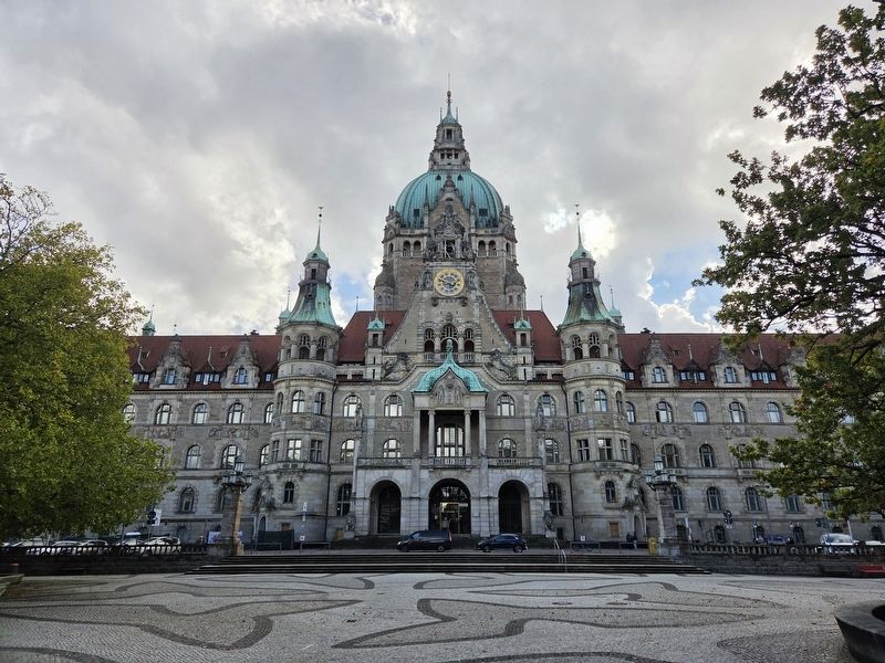
Photographed by James Hulse, October 8, 2026
3. Rathaus der Landeshauptstadt Hannover / City Hall of the State Capital Hannover Marker
Credits. This page was last revised on October 28, 2026. It was originally submitted on October 26, 2026, by James Hulse of Medina, Texas. This page has been viewed 4 times since then. Photos: 1, 2, 3. submitted on October 28, 2026, by James Hulse of Medina, Texas.
