Crowley Lake in Mono County, California — The American West (Pacific Coastal)
Tom’s Place
Photographed by Craig Baker, October 26, 2026
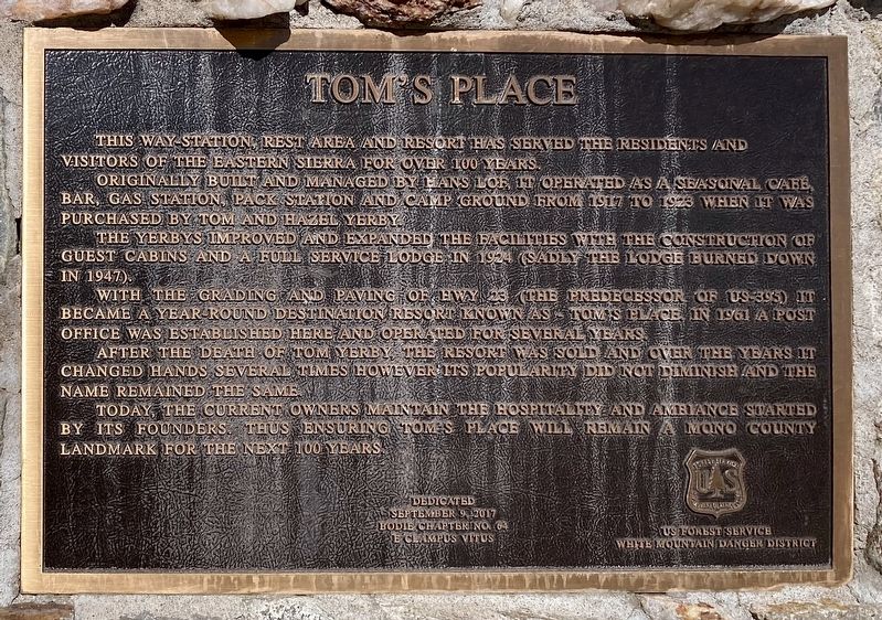
1. Tom’s Place Marker
This way station, rest area and resort has served the residents and visitors of the Eastern Sierra for over 100 years.
Originally built and managed by Hans Lof, it operated as a seasonal cafe, bar, gas station, pack station, and camp ground from 1917 to 1923, when it was purchased by Tom and Hazel Yerby.
The Yerbys improved and expanded the facilities with the construction of guest cabins and a full service lodge in 1924 (sadly the lodge burned down in 1947).
With the grading and paving of Hwy 23 (the predecessor of US-395) it became a year round destination resort known as Tom's Place. In 1961 a post office was established here and operated for several years.
After the death of Tom Yerby, the resort was sold and over the years it changed hands several times, however, its popularity did not diminish and the name remained the same.
Today, the current owners maintain the hospitality and ambiance started by its founders, thus ensuring Tom’s Place will remain a Mono County landmark for the next 100 years.
Dedicated September 9, 2017
Bodie Chapter No. 64 - E Clampus Vitus
U.S. Forest Service - White Mountain Danger District
Erected 2017
this page online
Topics and series. This historical marker is listed in these topic lists: Industry & Commerce • Settlements & Settlers. In addition, it is included in the E Clampus Vitus series list. A significant historical year for this entry is 1917.
Location. 37° 33.68′ N, 118° 40.816′ W. Marker is in Crowley Lake, California, in Mono County. It is on Crowley Lake Drive west of Rock Creek Road, on the right when traveling west. Touch for map. Marker is at or near this postal address: 8180 Crowley Lake Dr, Mammoth Lakes CA 93546, United States of America. Touch for directions.

Regionally, this marker is in the Sierra Nevada. It is also in the American Mountain West. Globally, it is in North America, on the Ring of Fire, on the Pacific Rim, in the Western Hemisphere, in the Western World, and in the Anglosphere. Historically, it finds itself in what was once New Spain and also Mexico’s Alta California.
Other nearby markers. At least 8 other markers are within 10 miles of this marker, measured as the crow flies: Crowley Lake (approx.
Photographed by Craig Baker, October 26, 2026
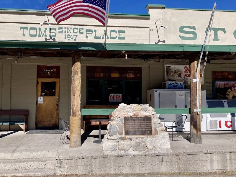
2. Tom’s Place Marker
Another marker is no longer nearby. Crowley Lake (was approx. 4.1 miles away but has been confirmed missing).
More about this marker. This marker has a typo. The White Mountain Ranger District is shown as the White Mountain Danger District.
Photographed by Craig Baker, October 26, 2026
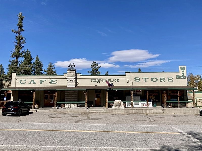
3. Tom’s Place
Credits. This page was last revised on October 30, 2026. It was originally submitted on October 27, 2026, by Craig Baker of Sylmar, California. This page has been viewed 18 times since then. Photos: 1, 2, 3. submitted on October 27, 2026, by Craig Baker of Sylmar, California.
