Downtown in Peterborough, Ontario — Central Canada (North America)
Peterborough Today
Otonabee River Trail
Photographed by William Fischer, Jr., October 9, 2026
1. Peterborough Today Marker
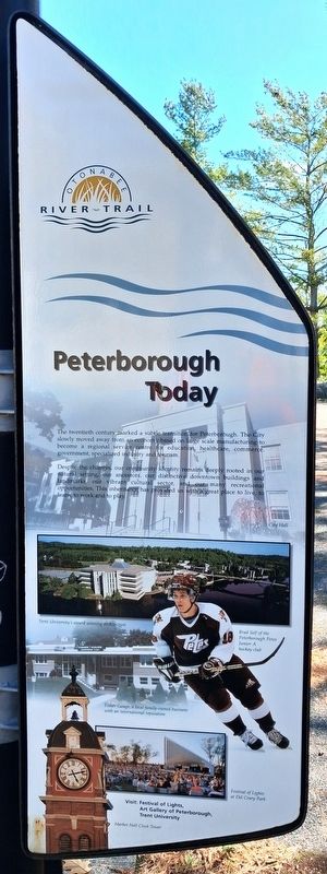
The twentieth century marked a subtle transition for Peterborough. The City slowly moved away from an economy based on large scale manufacturing to become a regional service centre for education, healthcare, commerce, government, specialized industry and tourism.
Despite the changes, our community identity remains deeply rooted in our natural setting, our ancestors, our distinctive downtown buildings and landmarks, our vibrant cultural sector, and our many recreational opportunities. This inheritance has provided us with a great place to live, to learn, to work and to play.
[Photo captions read]
• City Hall
• Trent University's award winning architecture
• Brad Self of the Peterborough Petes Junior A hockey club
• Fisher Gage, a local family-owned business with an international reputation
• Festival of Lights at Del Crary Park
• Market Hall Clock Tower
Visit: Festival of Lights, Art Gallery of Peterborough, Trent University
Erected 2000 by City of Peterborough.
Topics. This historical marker is listed in these topic lists: Charity & Public Work • Education • Entertainment •
this page online
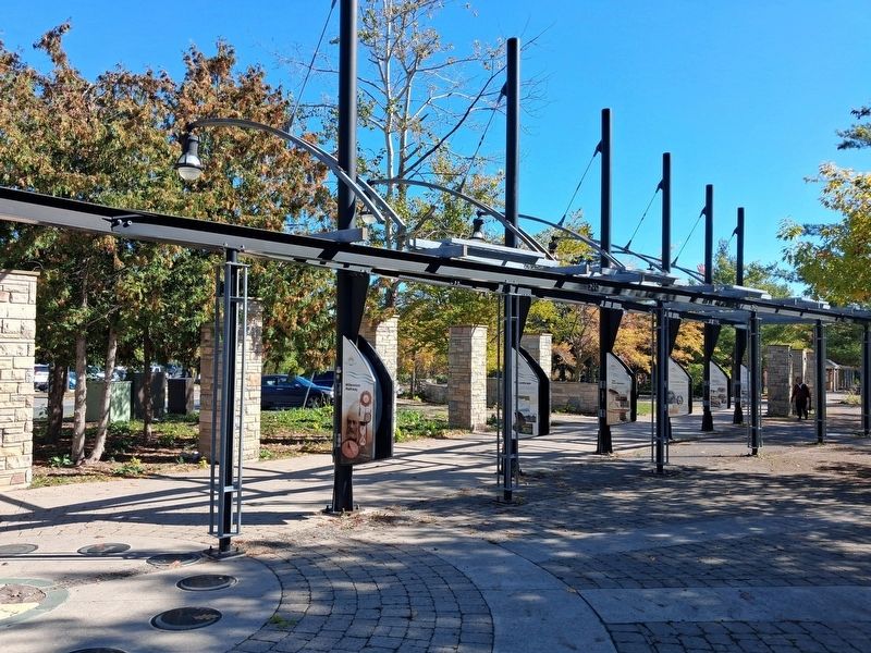
Location. 44° 18.11′ N, 78° 19.105′ W. Marker is in Peterborough, Ontario. It is in Downtown. It is on King Street east of Water Street, on the right when traveling east. Marker and Walkway are in Millenium Park. Touch for map. Marker is at or near this postal address: 131 King Street, Peterborough ON K9J 0A5, Canada. Touch for directions.

Regionally, this marker is in Central Canada. Globally, it is in North America, the Western Hemisphere, the Western World, and the Anglosphere. Historically, it finds itself in what was once a British colony, the Viceroyalty of New France, the Haudenosaunee (Iroquois) Confederacy, and Rupert’s Land.
Other nearby markers. At least 8 other markers are within walking distance of this marker: Our Enduring Legacy (here, next to this marker); Industrial Waterfront (here, next to this marker); New Role for the River (here, next to this marker); From Frontier Town... (here, next to this marker); ...To Bustling City (here, next to this marker); The First Nations (a few steps from this marker); Full Circle (a few steps from this
Photographed by William Fischer, Jr., October 9, 2026
2. Peterborough Today Marker
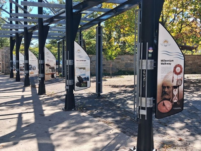
On sixth pole back
Also see . . . Peterborough Tourism. (Submitted on October 28, 2026, by William Fischer, Jr. of Reynoldsburg, Ohio.)
Photographed by William Fischer, Jr., October 9, 2026
3. Millenium Walkway
Credits. This page was last revised on October 28, 2026. It was originally submitted on October 28, 2026, by William Fischer, Jr. of Reynoldsburg, Ohio. This page has been viewed 4 times since then. Photos: 1, 2. submitted on October 28, 2026, by William Fischer, Jr. of Reynoldsburg, Ohio. 3. submitted on October 27, 2026, by William Fischer, Jr. of Reynoldsburg, Ohio.
