Saint-Eugène in Saint-Jean-sur-Richelieu in Le Haut-Richelieu, Québec — Central Canada (French-Canadian)
The Battle of September 6th, 1775
⎯⎯⎯
La Bataille du 6 septembre 1775
Photographed by Kevin Craft, October 21, 2026
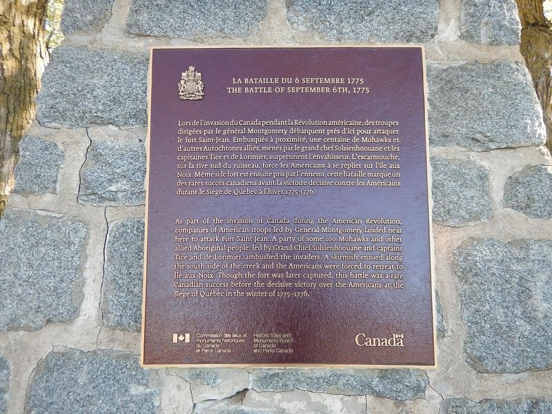
1. The Battle of September 6th, 1775 / La Bataille du 6 septembre 1775 Marker
{English text}
As part of the invasion of Canada during the American Revolution, companies of American troops led by General Montgomery landed near here to attack Fort Saint-Jean. A party of some 100 Mohawks and other allied Aboriginal people, led by Grand Chief Solsienhoouane and captains Tice and de Lorimier, ambushed the invaders. A skirmish ensued along the south side of the creek and the Americans were forced to retreat to Île aux Noix. Though the fort was later captured, this battle was a rare Canadian success before the decisive victory over the Americans at the Siege of Québec in the winter of 1775–1776.
{French text}
Lors de l’invasion du Canada pendant la Révolution américaine, des troupes dirigées par le général Montgomery débarquent près d’ici pour attaquer le fort Saint-Jean. Embusqués à proximité, une centaine de Mohawks et d’autres Autochtones alliés, menés par le grand chef Solsienhoouane et les capitaines Tice et de Lorimier, surprennent l’envahisseur. L’escarmouche, sur la rive sud du ruisseau, force les Américains à se replier sur l’île aux Noix. Même si le fort est ensuite pris par l’ennemi, cette bataille
this page online
Erected by Historic Sites and Monuments Board of Canada and Parks Canada.
Topics. This historical marker is listed in this topic list: War, US Revolutionary. A significant historical date for this entry is September 6, 1775.
Location. 45° 16.809′ N, 73° 15.397′ W. Marker is in Saint-Jean-sur-Richelieu, Québec, in Le Haut-Richelieu. It is in Saint-Eugène. It is on Rue Jacques-Cartier Sud 0.1 kilometers rue Therrien, on the right when traveling north. Touch for map. Marker is at or near this postal address: 339 Rue Jacques-Cartier S, Saint-Jean-sur-Richelieu QC J3B 4K1, Canada. Touch for directions.

Regionally, this marker is in Greater Montréal. It is also in Central Canada. Globally, it is in North America, the Western Hemisphere, and the Western World. Historically, it finds itself in what was once a British colony, the Viceroyalty of New France, the Haudenosaunee (Iroquois) Confederacy, and Rupert’s Land.
Other nearby markers. At least 8 other markers are within 13 kilometers of this marker,
Photographed by Kevin Craft, October 21, 2026
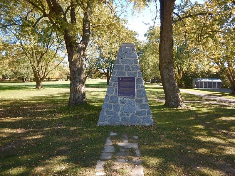
2. Wideview of The Battle of September 6th, 1775 / La Bataille du 6 septembre 1775 Marker
Credits. This page was last revised on October 28, 2026. It was originally submitted on October 28, 2026, by Kevin Craft of Bedford, Quebec. This page has been viewed 4 times since then. Photos: 1, 2. submitted on October 28, 2026, by Kevin Craft of Bedford, Quebec.
